(Last updated on 13/10/2025)
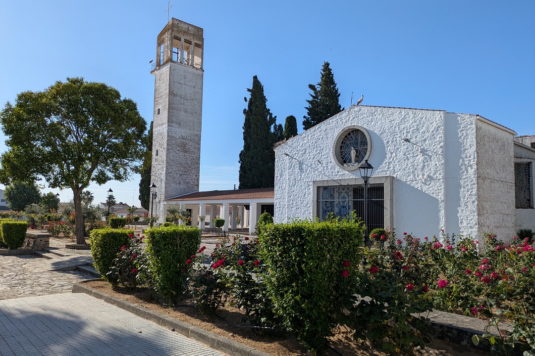
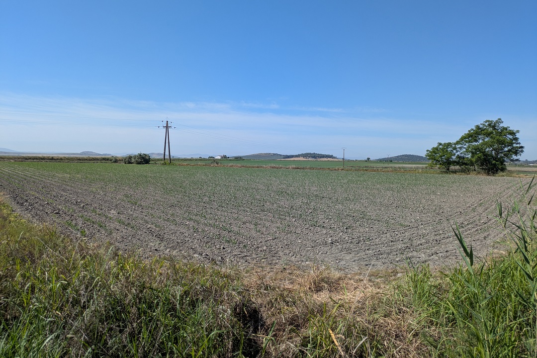
An ambitious post-war programme to develop agriculture led to the creation of the so-called pueblos de colonización – settlements built from scratch in low-value agricultural land near the main Spanish rivers.
Far removed from the tourist radar, these unassuming whitewashed little villages have an interesting story to tell. In this article, I provide a general overview about these settlements and pinpoint the colonisation villages in Extremadura I’ve visited so far.
This post contains affiliate links. If you click through and make a purchase, it will generate a small commission for me, at no extra cost for you. Read the full disclosure for more details.
Table of contents
- 1 What are colonisation villages?
- 2 About colonisation villages
- 3 Colonisation villages in Extremadura
- 3.1 Tourism appeal – Rutas de Luz
- 3.2 Colonisation villages visited so far
- 3.2.1 Alagón del Río
- 3.2.2 Alonso de Ojeda
- 3.2.3 Casar de Miajadas
- 3.2.4 Conquista del Guadiana
- 3.2.5 Cristóbal Colón
- 3.2.6 Entrerríos
- 3.2.7 Fernando V
- 3.2.8 Hernán Cortés
- 3.2.9 Palazuelo
- 3.2.10 Pizarro
- 3.2.11 Puebla de Alcollarín
- 3.2.12 Ruecas
- 3.2.13 Torrefresneda
- 3.2.14 Valdehornillos
- 3.2.15 Valdivia
- 3.2.16 Vivares
- 3.2.17 Yelbes
- 4 Map of colonisation villages in Extremadura
What are colonisation villages?
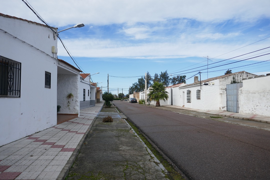
The term pueblos de colonización refers to settlements built in Spain between the nineteen-forties and the nineteen-seventies as commissioned by the National Colonisation Institute (INC, in Spanish).
The purpose was to populate empty rural areas and turn rainfed land into productive, irrigated land via an ambitious programme that involved building not only nearly 300 villages from scratch, but also complex water infrastructure and a service roads network. This had an enormous architecture, economic and social impact in the country.
About colonisation villages
Background
At the beginning of the twentieth century, Spanish rural labourers started mobilising and demanding for land re-distribution to tackle long-lasting agrarian inequalities. A land reform law was passed in 1932, during the Second Republic, but failed to meet the hopes and expectations of both landless labourers and big landowners. Less than one percent of the estimated one million landless families were relocated. This had a polarising political and social effect that played a not unsignificant role in the coup that led to the ensuing Spanish Civil War (1936-1939).
Historical fact: most land in Extremadura was in the hands of big landowners (in Cáceres province, 60% of the land was owned by big landowners).
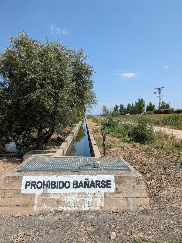
In 1939, under Franco’s dictatorship, a new colonisation institute (Instituto Nacional de Colonización, or INC) replaced the Republican land reform institute (Instituto de Reforma Agraria). It implemented the plan (devised decades earlier) to build 300 villages and water infrastructure (canals, reservoirs) along the main rivers: Ebro, Duero, Guadalquivir, Tajo, and Guadiana. The hydraulic policies were supported nationwide by what essentially was slave labour; many Republican political prisoners were employed in the construction of reservoirs and a wide network of irrigation canals, such as the Canal de Montijo, in western Badajoz province, and Canal del Bajo Guadalquivir, in Andalusia (known as Canal de los Presos or ‘the prisoners’ canal’).
A series of new laws were passed, allowing the Institute to acquire land for colonisation purposes prior compensation in cash to the landowner. Landowners had the right to retain ownership over part of their estate, which varied depending on size, and benefitted greatly from the scheme; they often gave away the worst-quality land and retained the best-quality land that would increase in value.
Number, location, and name
The INC commissioned the construction of over three hundred colonisation villages to resettle some fifty-five thousand families. This makes it one of the largest in-country migration movements in Spain in the twentieth century.
The villages are located in twenty-seven (out of fifty) provinces, in eleven (out of seventeen) regions. Extremadura has sixty-three colonisation villages: forty-two in Badajoz province, and twenty-one in Cáceres province.
Many villages were named after a river, while also making a reference to Franco, with ‘del Caudillo’ being a common ending. Most of them have been fairly recently renamed to eliminate references to the dictator and related generals and leaders.
People
Settlers (colonos)
They were selected by the INC by draw amongst men with no Republican links, usually fathers to at least several children. They had to complete a six-month training course on agriculture and business management before being sent to a settlement.
On arrival with their families, they were assigned a small piece of land, a house, animals and farming tools – all of this on a loan that they had to pay back to the INC at a 5% annual interest rate. They would only became property owners after repaying the loan, which would take several decades of hard work. Supervised by engineers and guards from the INC, they had to follow strict instructions regarding what to grow and when.
That said, the first settlers moved to the new settlements before they were even finished and had to make do without water or electricity supplies.
Labourers (obreros)
Unlike settlers, labourers did not have the chance of becoming landowners. They worked in the construction of these villages in exchange for a daily wage, some of them forced out of their places of origins that were (supposed) to be flooded to build reservoirs, such as Granadilla.
Civil servants from the INC
They comprised agricultural experts (peritos agrícolas), foremen (mayorales) and guards (guardas) and were in charge of supervising the work of settlers, solve any conflicts arising and report issues.
Many colonisation villages in Extremadura were populated with families from different places, a fact that influenced the food, customs and even speech of the new residents.
Architecture, style and heritage
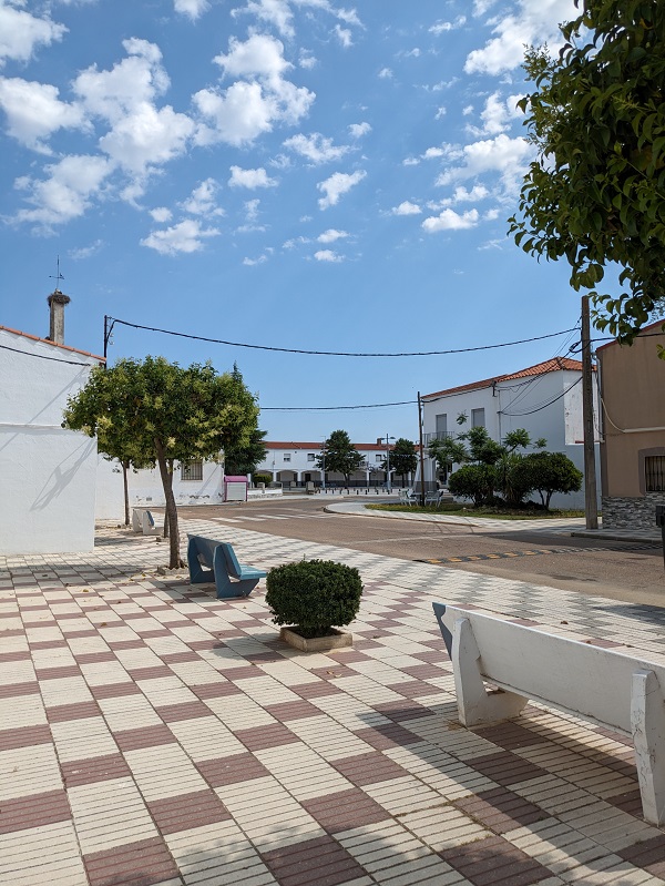
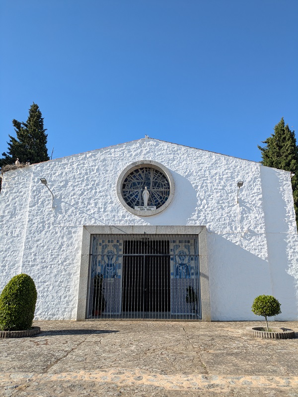
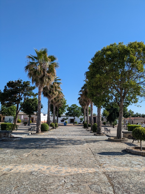
Many villages share common elements when it comes to layout, with a main square designed as common space and home to the town hall, the church and the shops. The church was always the largest and highest building around, an unmissable reminder of the Catholic values promoted by the dictatorship ideology.
There seems to be a general agreement that local authorities had not really given much thought to the religious heritage in colonisation villages. Even though renown artists worked in these churches, many of them did not even sign their works; some of them aimed for an anonymous works of art, while others may have had political views contrary to the dictatorship. Therefore, these churches tend to not be considered ‘real heritage’.
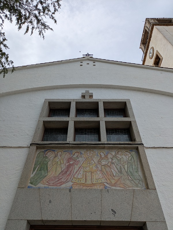
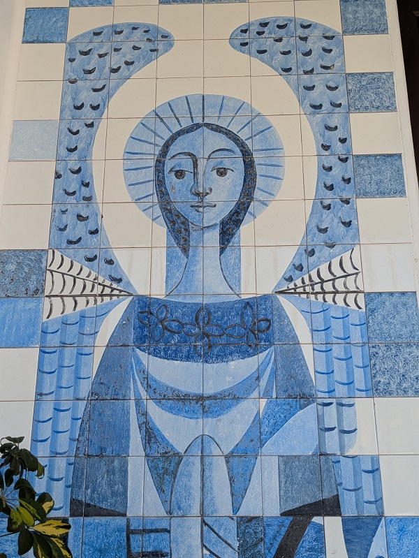
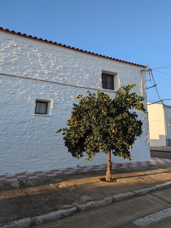
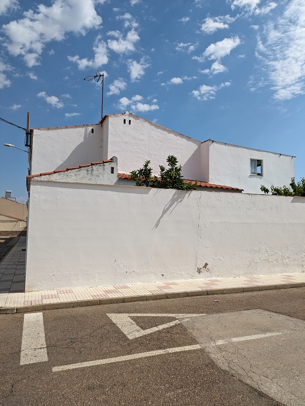
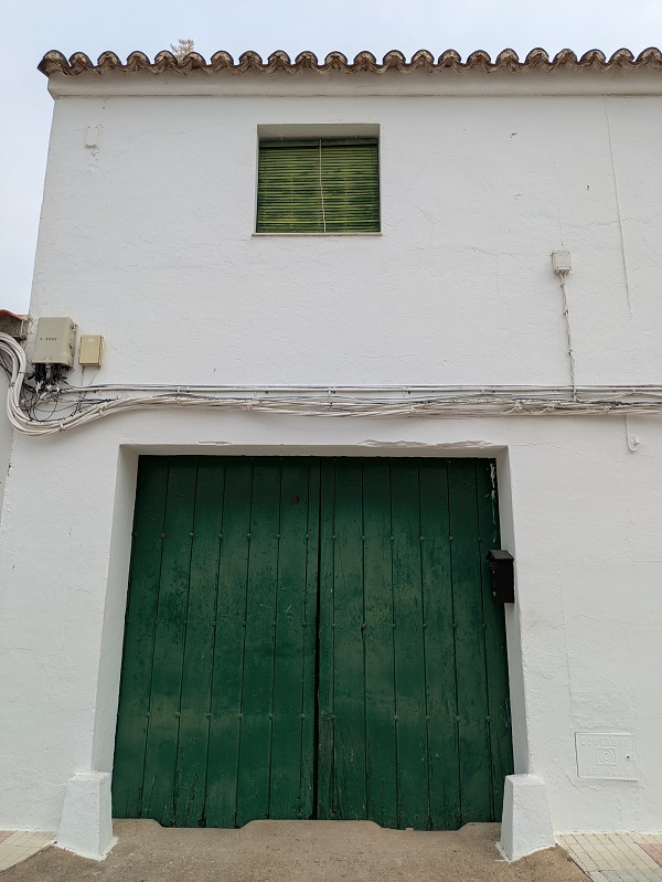
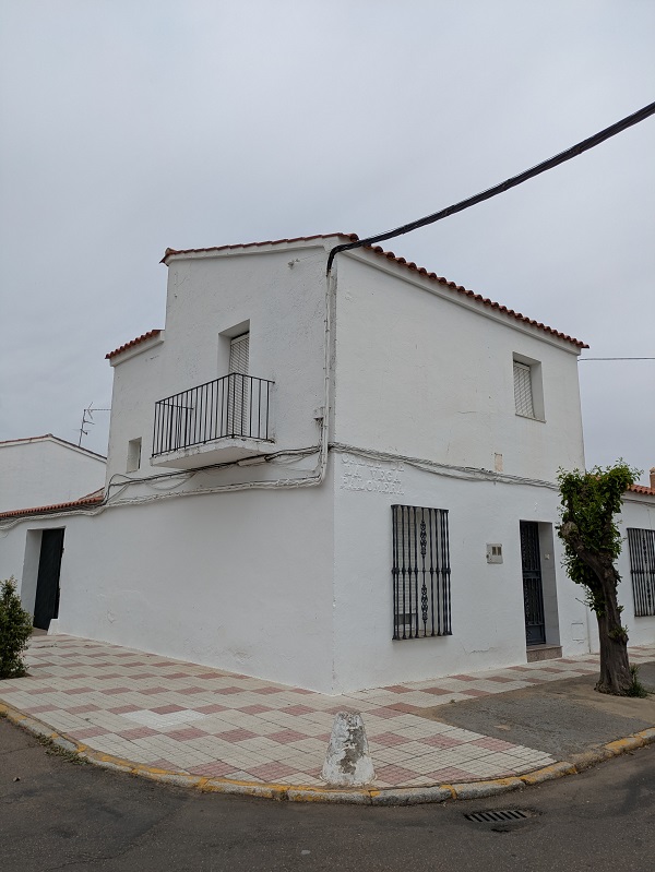
When it comes to houses, the authorities went for a whitewashed style, aiming to recover a sort of Spanish classic style in pursuit of an ideal of purity. The houses for settlers could have several different layouts, but often had two storeys and were always a lot bigger than those for labourers, with large patios
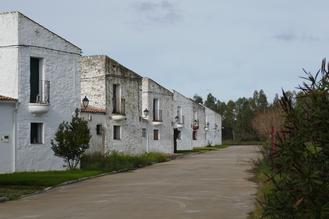
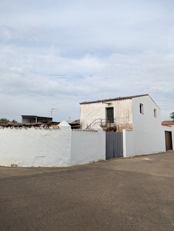
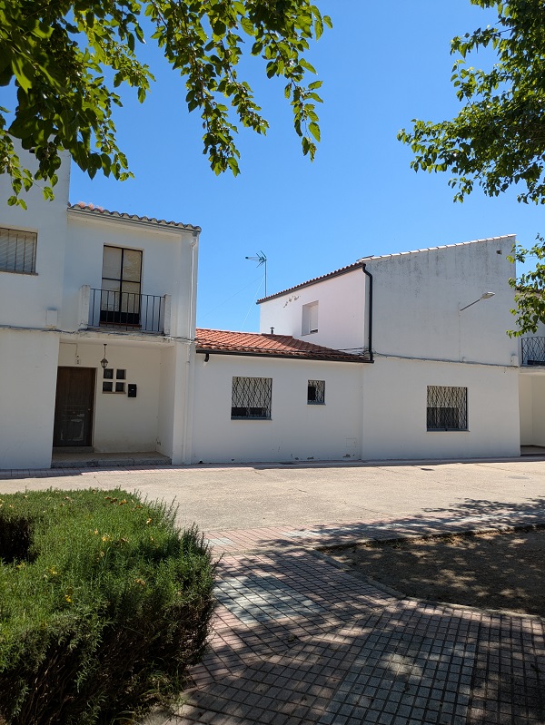
Unfortunately, these villages have not been duly recognised as heritage worth preserving and today, a bit (or a lot) of their original character and stylistic homogeneity has been lost. The first settlers died, their children sold their plots, and their grandchildren inherited huge houses which they freely renovated to adapt them to modern living but without following rules or standards when it comes to the exterior.
Colonisation villages in Extremadura
In Extremadura, colonisation villages were part of Plan Badajoz – an ambitious scheme to transform what was an arid province into a productive agricultural area irrigated by water from the river Guadiana. The main reservoirs in Extremadura were built as part of this scheme: Cíjara, García de Sola, Orellana, Zújar, and Montijo.
Did you know? Some of these reservoirs (and others) are suitable for swimming, and for practising water sports, and have dedicated ‘beach’ areas, such as Playa Costa Dulce de Orellana and Playa Los Calicantos at the Orellana reservoir, and Playa de Puerto Peña and Playa de Peloche at the García de Sola reservoir.
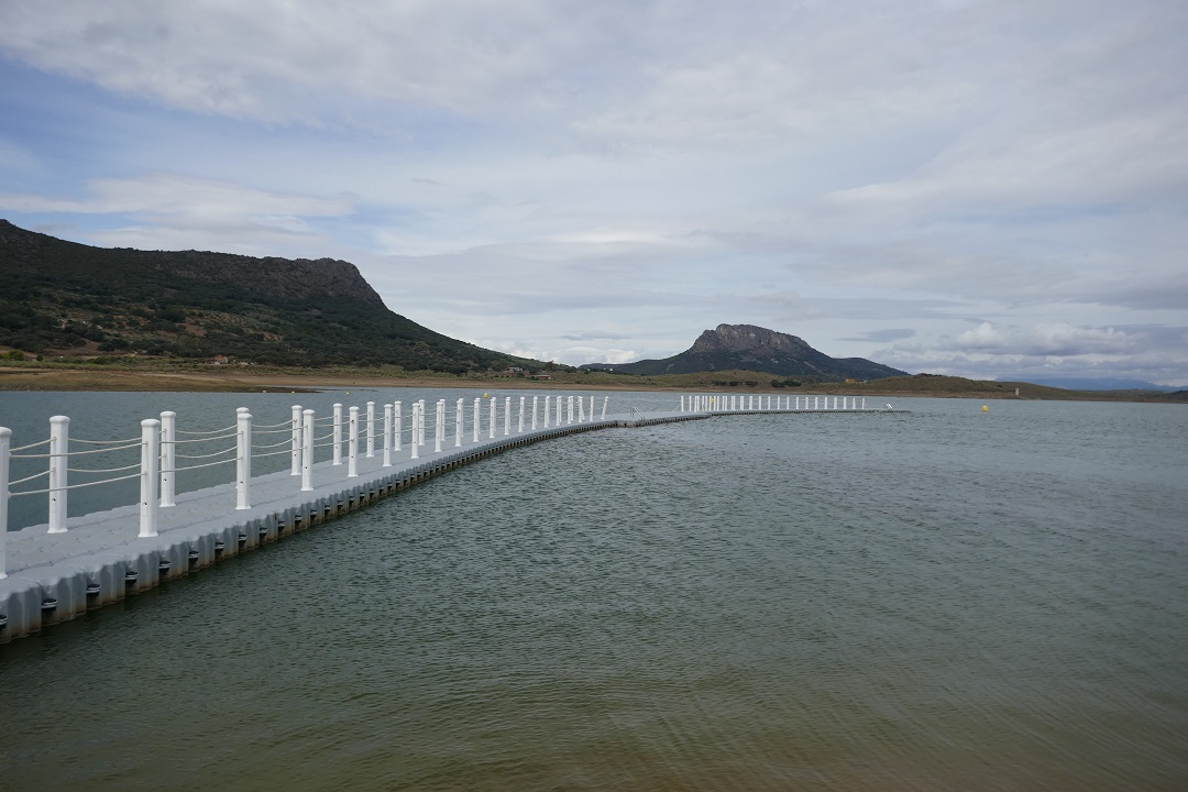
Vegas Altas del Guadiana is the area of Extremadura with the highest number of colonisation villages – twenty-three. They vary in size and population, from barely a hundred inhabitants to around three thousand.
Some villages have their own municipality, while most of them are still small local entities belonging to a bigger village or town.
Tourism appeal – Rutas de Luz
A marketing campaign by the regional authorities has put colonisation villages in Extremadura on the map as travel destinations. The sixty-three colonisation villages have been divided into seven groups in seven different areas, with several suggested itineraries to visit them.
Colonisation villages visited so far
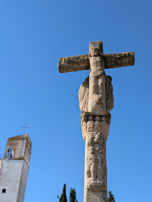
Below, I share a very quick overview and some pictures of the colonisation villages in Extremadura I have visited so far.
Alagón del Río
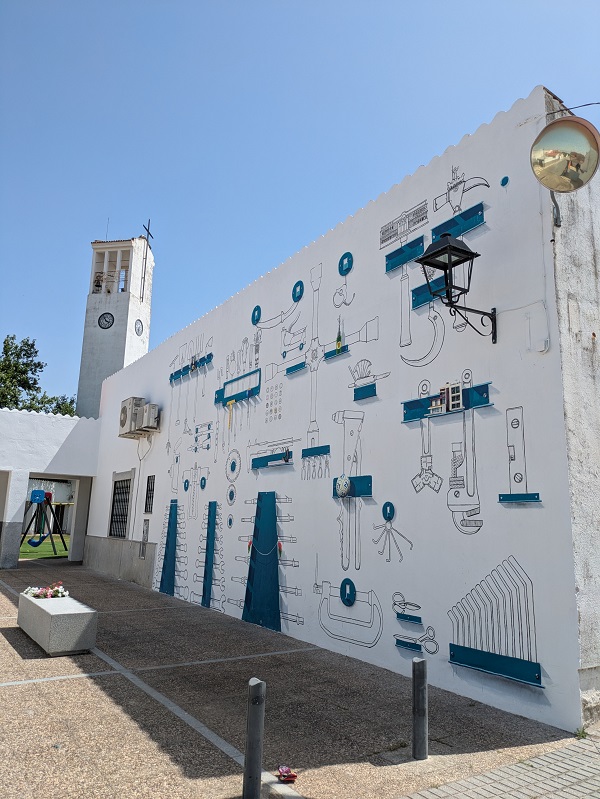
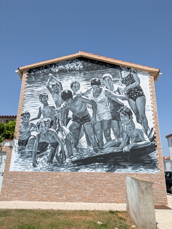
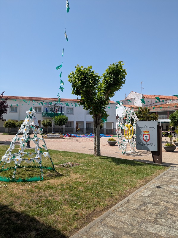
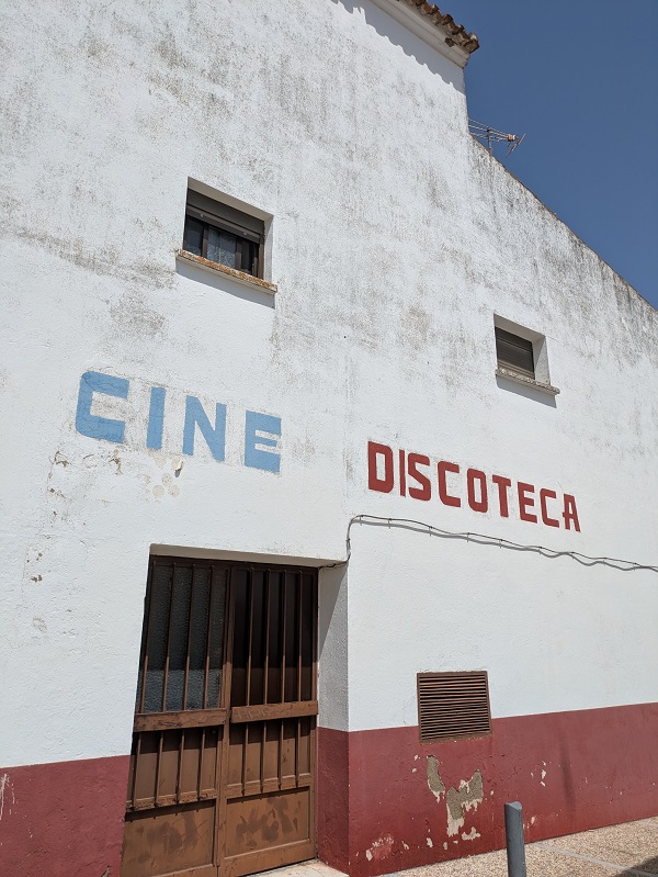
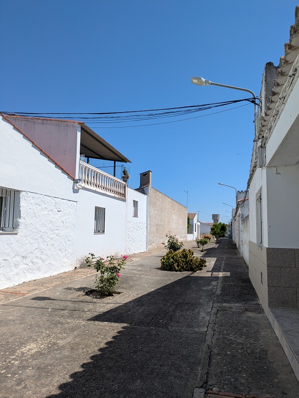
Built in 1957 by the namesake river Alagón, this settlement took in mainly people who had to leave Granadilla due to the still remaining ‘flood zone’ status. A peculiarity of its urban design is that the main square (Plaza de los Ríos), the church and the (former labourers’) houses were built following a triangular layout. Look out for several interesting murals.
Alonso de Ojeda
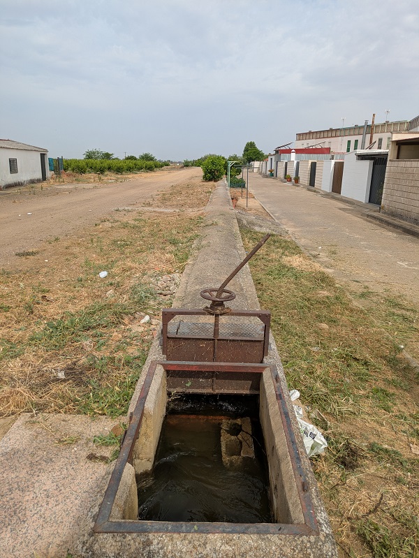
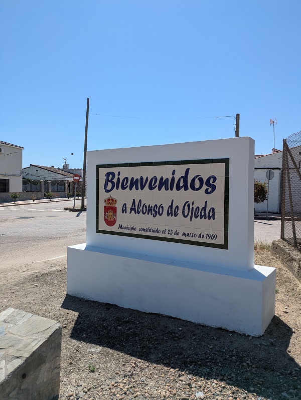
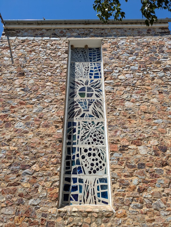
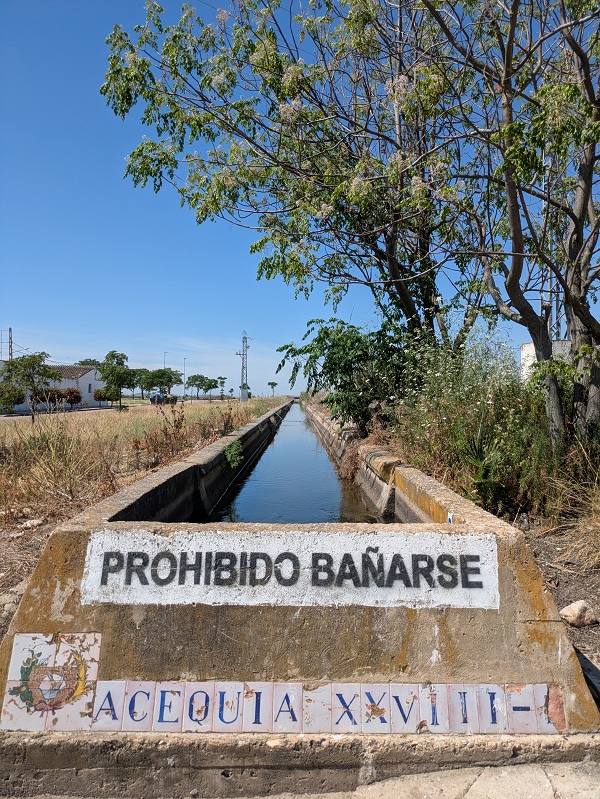
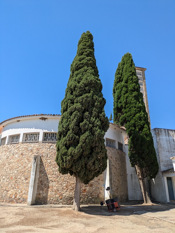
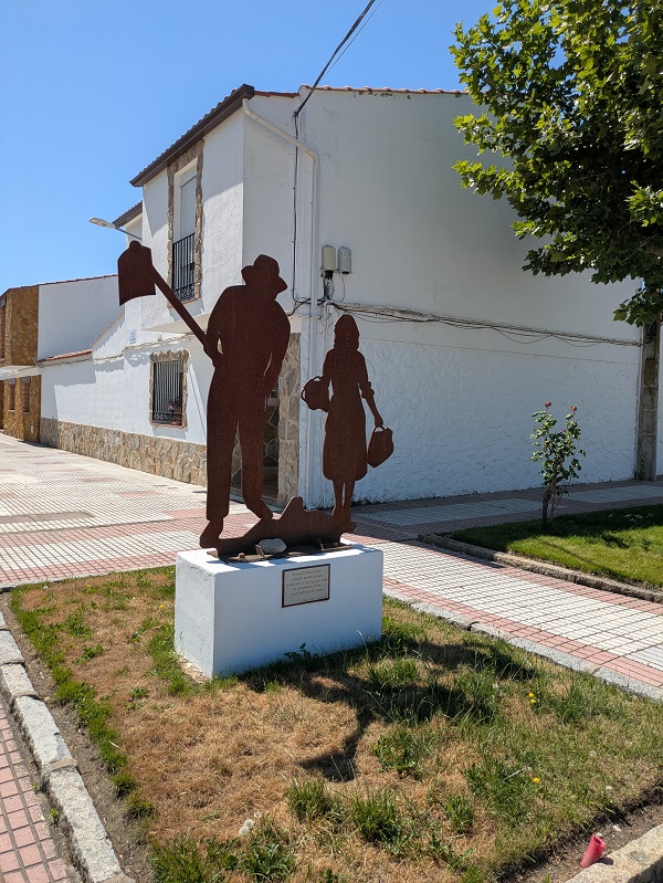
Located near Miajadas, this village was built in 1964 following an octagonal urban layout. Its main feature is the local, circular church, with its rectangular tower with stained glass windows. You can also see a typical irrigation channel (acequia) supplying water to the village and the surroundings.
Casar de Miajadas
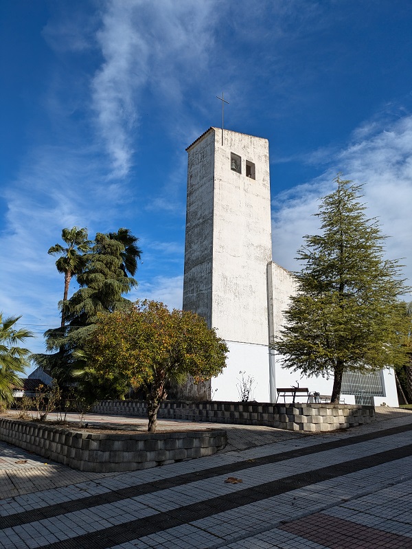
Belonging to Miajadas, this village displays a unique bow-shaped layout, with a central, inverted teardrop-like area covered by pine trees and home to the main square and the local church.
Conquista del Guadiana
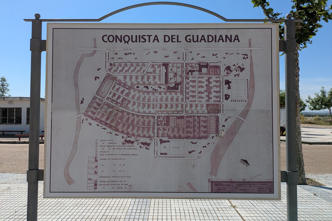
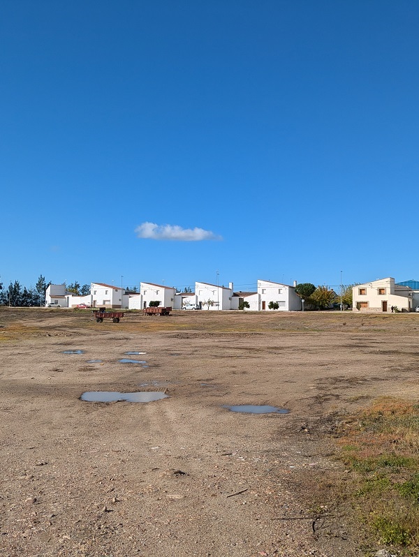
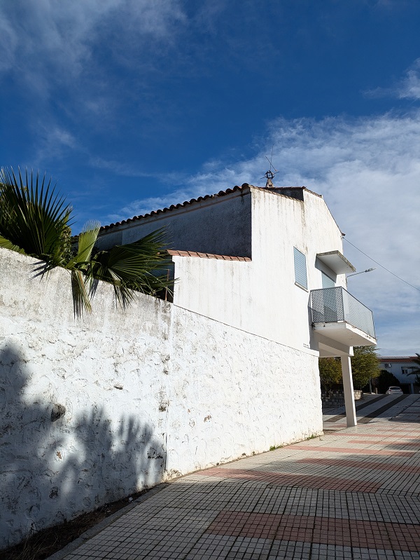
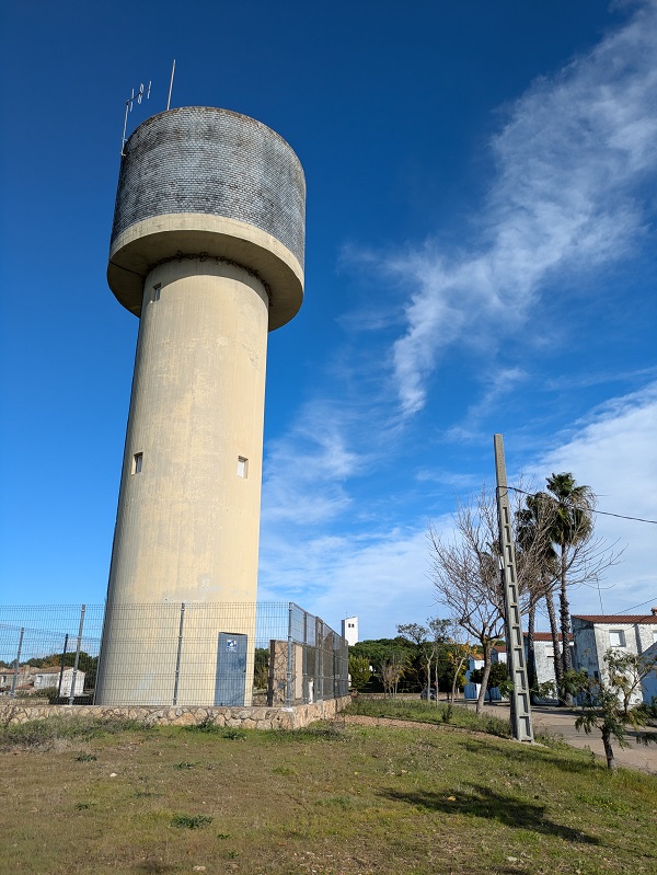
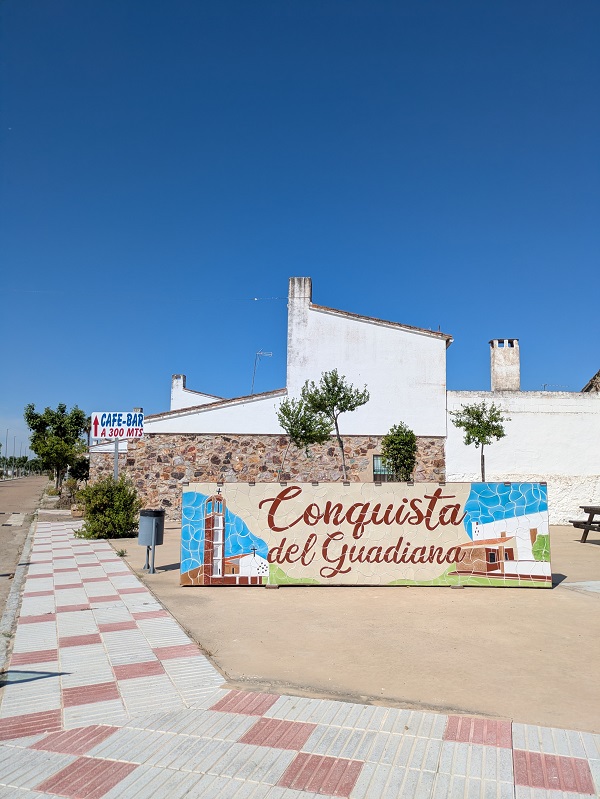
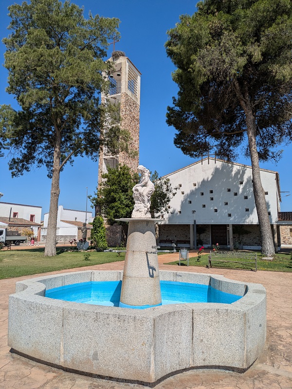
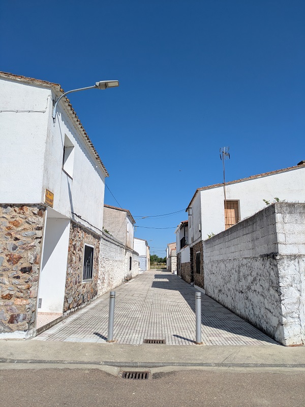
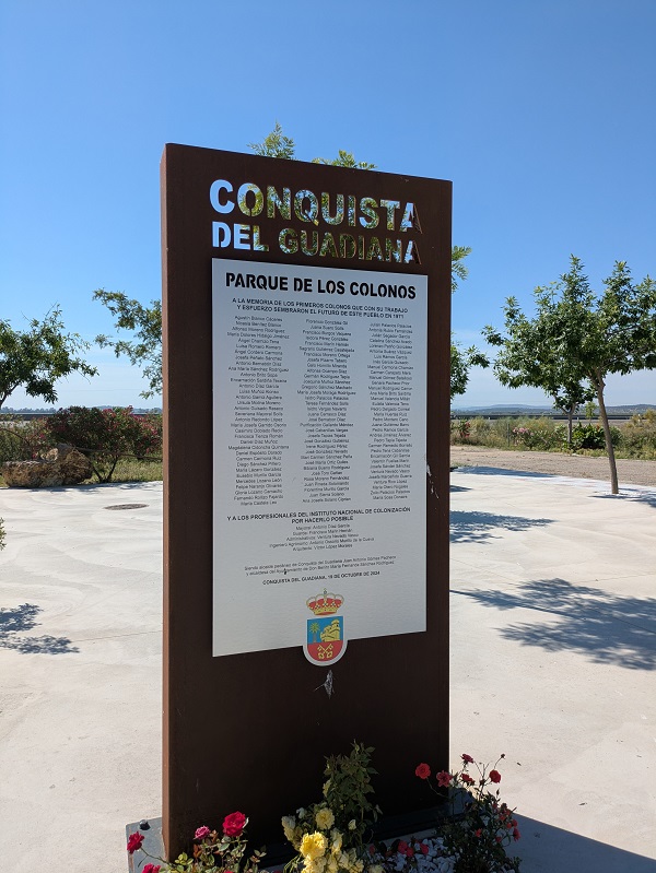
Belonging to Don Benito, Conquista retains most of its original construction style, featuring a church with sculptures from renown artists. Across the main square, there’s a sign of the urban layout and a list of the first settlers and the INC staff who helped build the village in 1971.
Cristóbal Colón
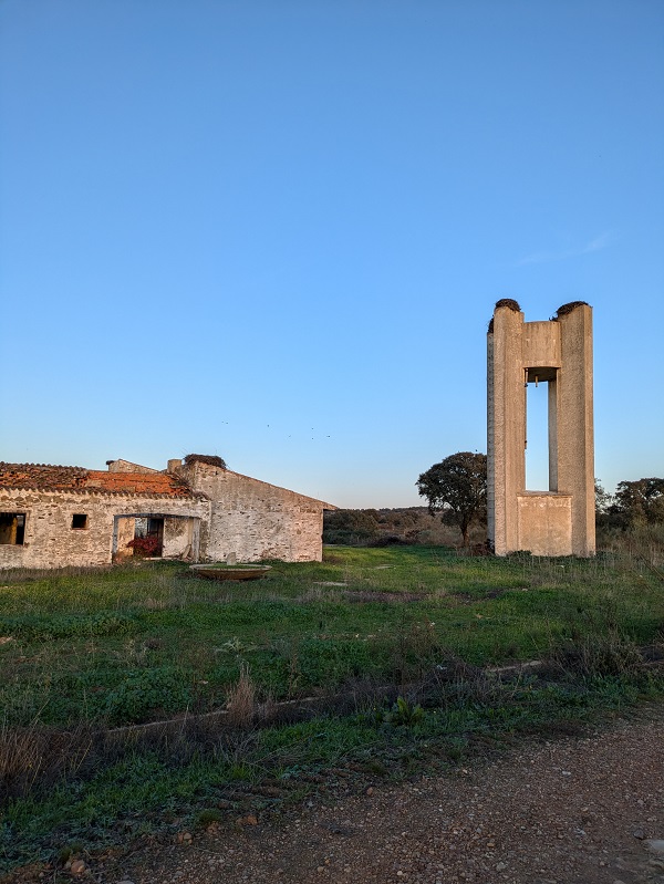
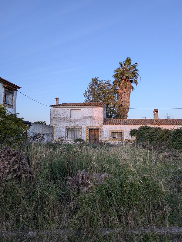
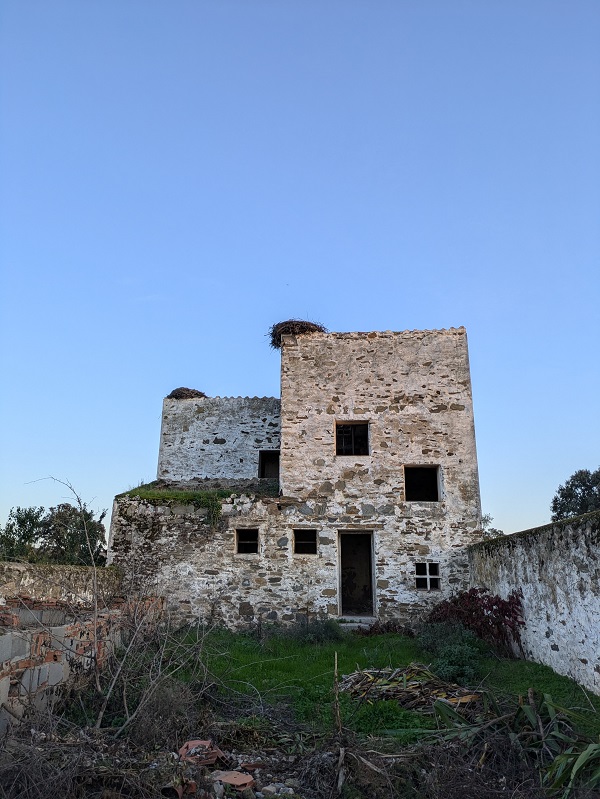
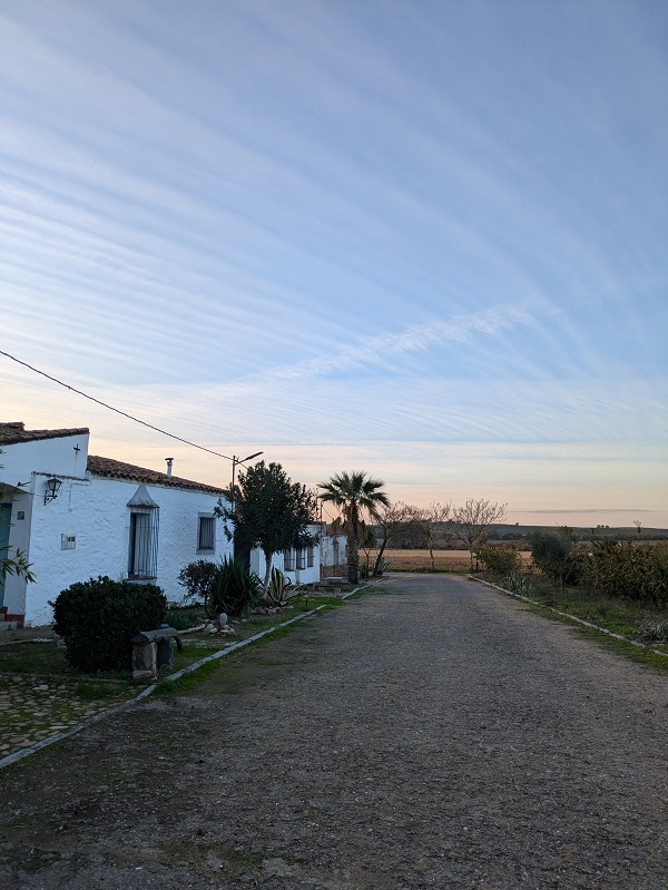
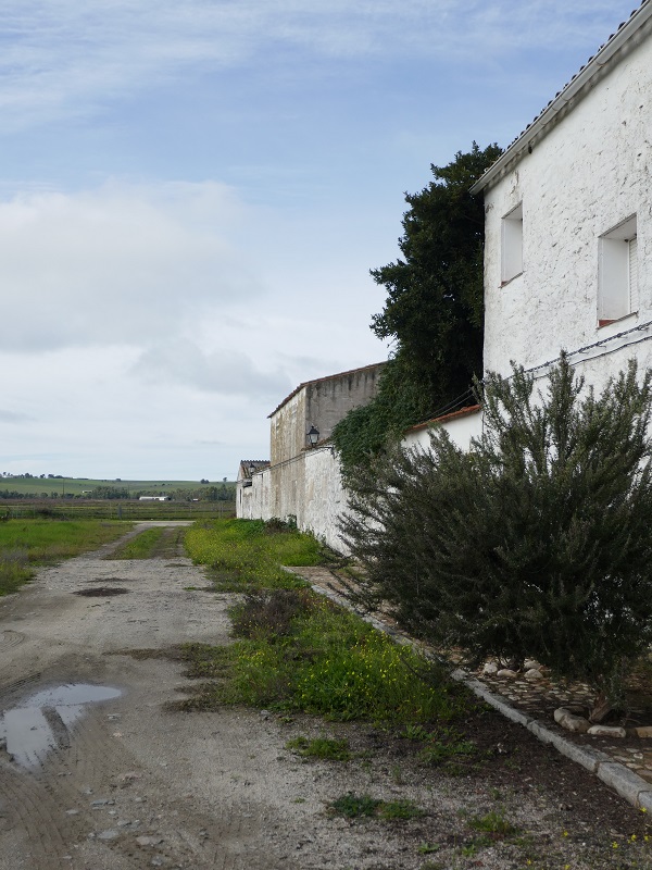
Located in Vegas Altas del Guadiana and belonging to Madrigalejo, the settlement of Cristóbal Colón is only accessible via a potholed single-track, poorly-maintained road. Its particularly remote location was a major reason for its abandonment, although a few houses look inhabited. From above, it looks like a self-contained rectangle comprising several rows of houses, but both ends of the central rows have been closed off and it’s only possible to walk around the external part.
Entrerríos
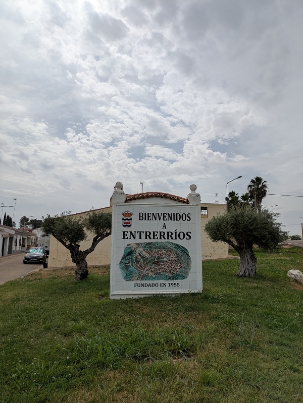
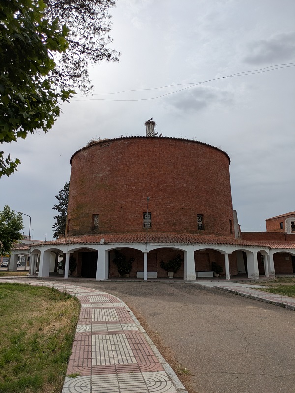
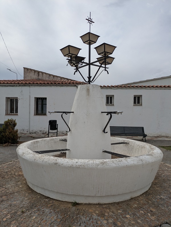
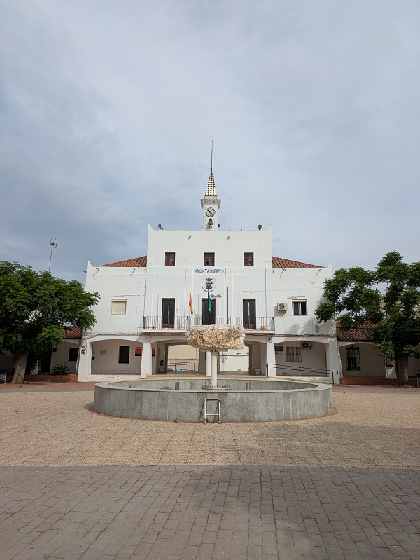
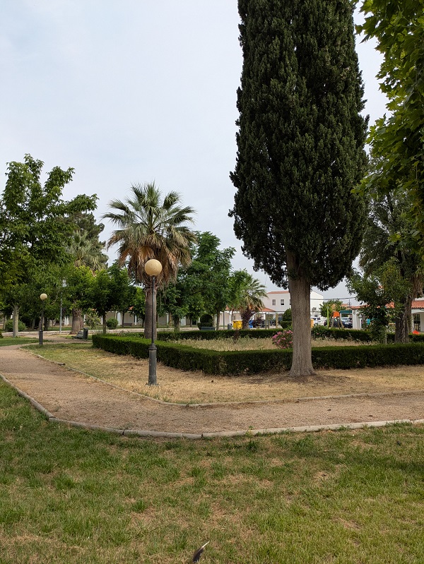
Founded in 1955 and belonging to Villanueva de la Serena, Entrerríos displays an original snail-like layout with a porticoed main square and a large park in the middle. Highlights include the town hall and a round church with exposed brick and a porticoed walkway.
Fernando V
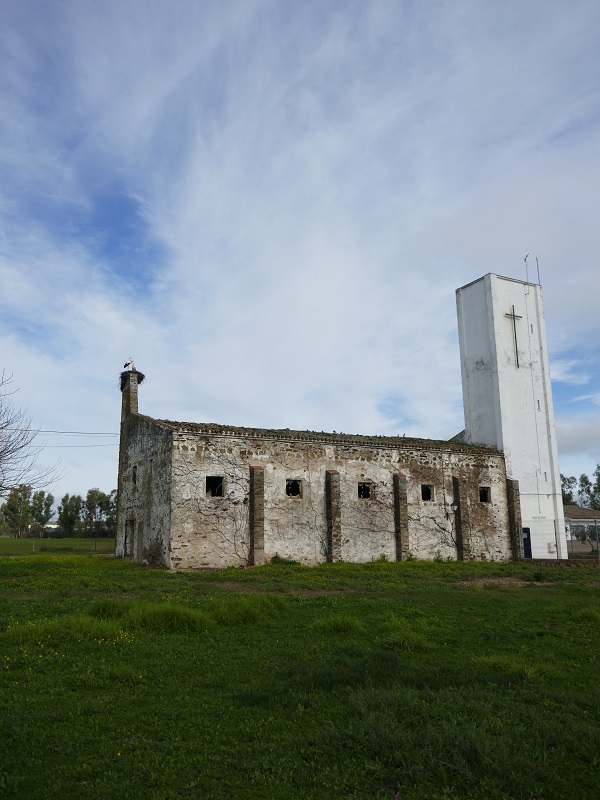
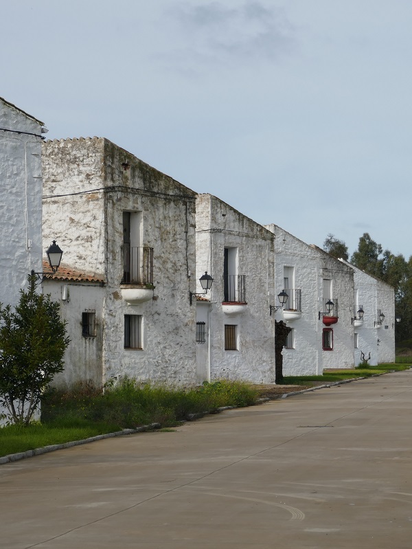
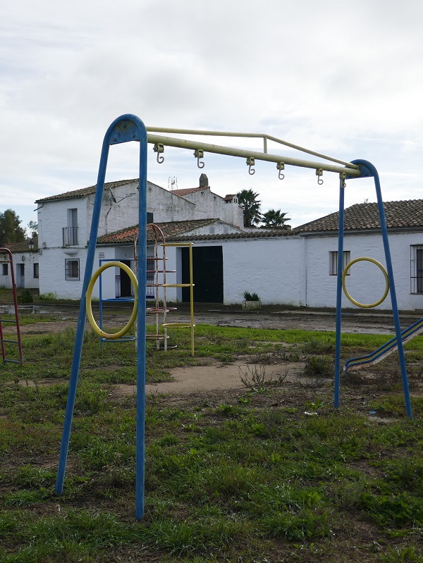
This settlement, belonging to Alcollarín and not far from Cristóbal Colón, was partially abandoned. Sandwiched between a main irrigation canal and a smaller channel, it has a main central green area with a church and a playground of sorts, as well as two differentiated residential areas which have retained the original layout and look.
Hernán Cortés
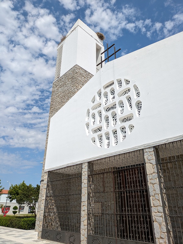
The main public space in this settlement belonging to Don Benito is a large rectangular square running parallel to the main N-430 road. Here, you’ll find the main buildings – the town hall, the cultural centre, and the church, which has two towers.
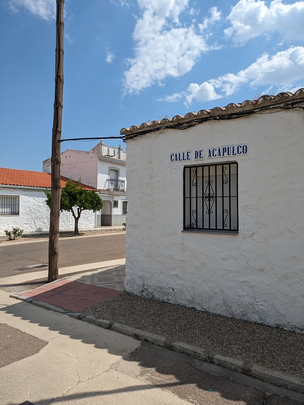
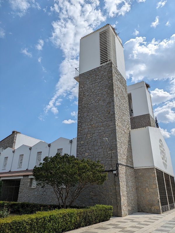
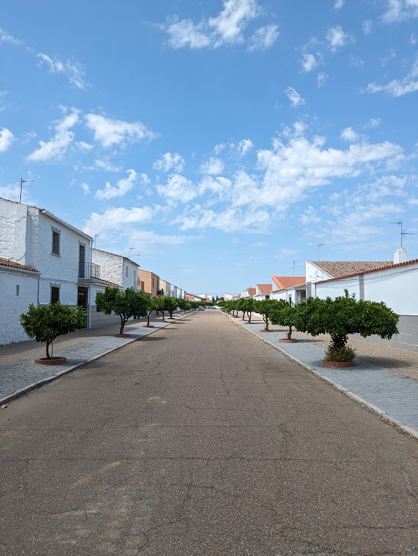
Palazuelo
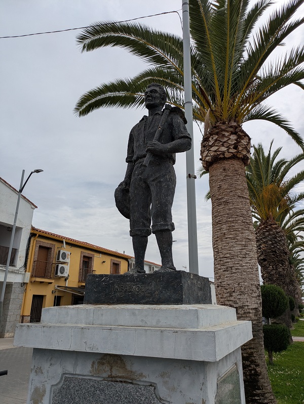
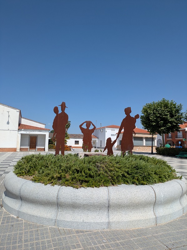
Located in an area of the Vegas Altas del Guadiana with a high concentration of migratory birds, Palazuelo features a mural listing names of former and current residents on the side of the church, and a sculpture commemorating the settlers in the main square.
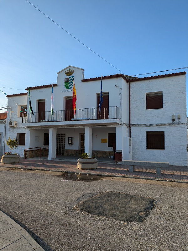
Pizarro
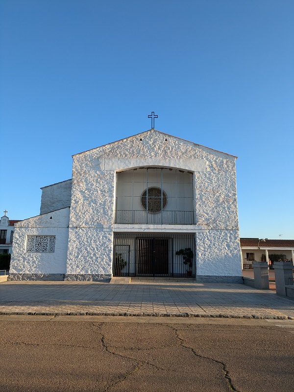
Located in the Miajadas-Trujillo area, Pizarro’s layout comprises a series of residential blocks, each made up of two rows of back-to-back houses forming a sawtooth pattern. Its local church, situated in the main square, has an interesting angular front with two doors.
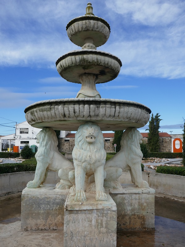
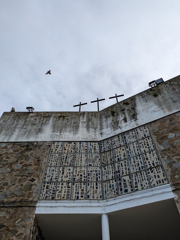
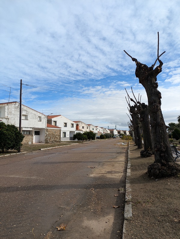
Puebla de Alcollarín
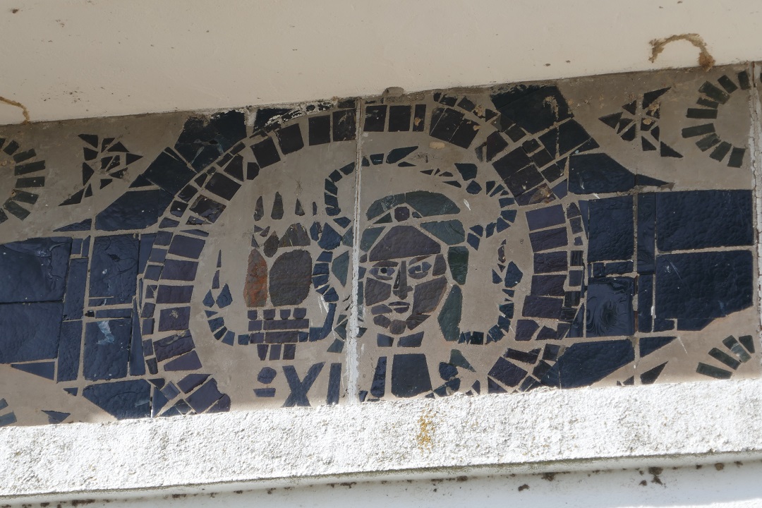
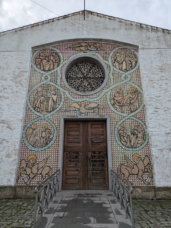
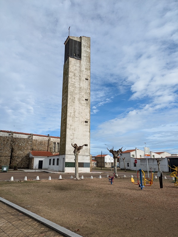
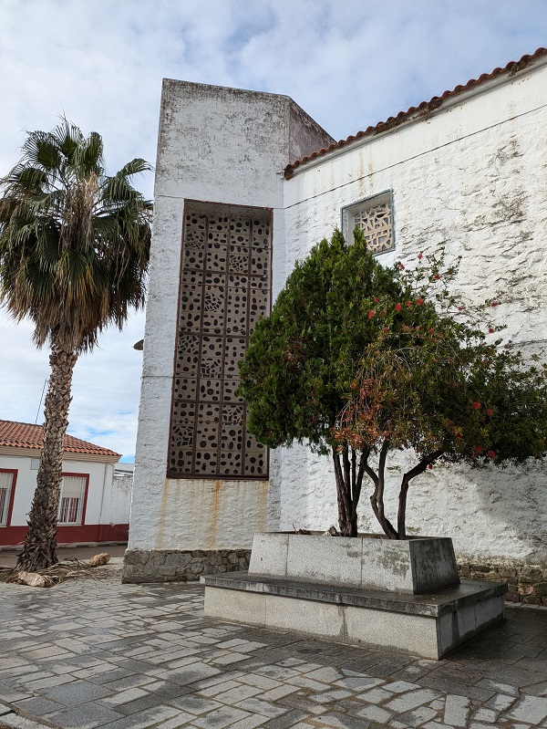
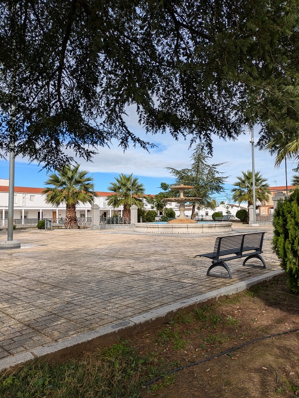
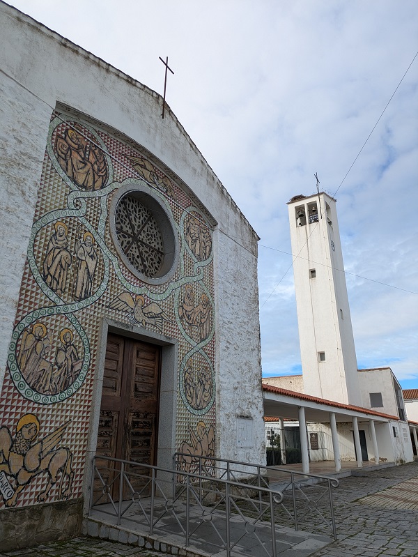
Belonging to Villar de Rena (Vegas Altas del Guadiana), this settlement displays a classic Roman layout, with two main roads intersecting at a central square. The main highlight is the local church, for its interesting decoration – particularly the striking ceramic tile mural covering the front.
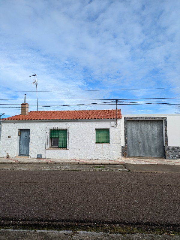
Ruecas
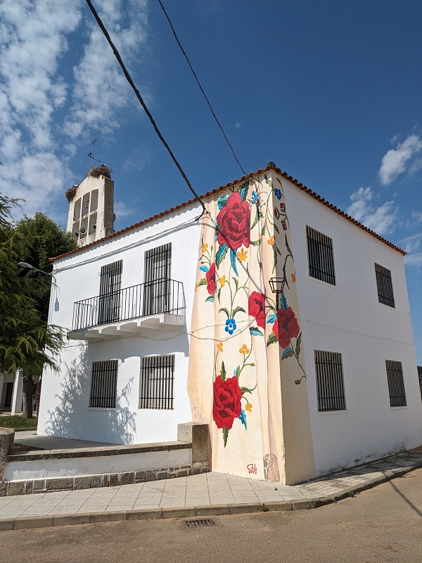
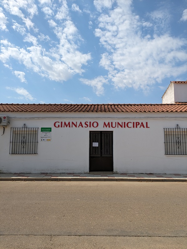
The layout of this settlement located north of Don Benito is characterised by two intersecting streets, one of them marking the divide between settlers’ and labourers’ houses. The most notable buildings in its porticoed main square are the cultural centre, the town hall and the local church. Look out for the flamenco-inspired mural round the right corner of the church.
Torrefresneda
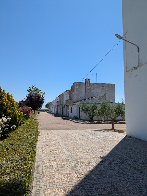
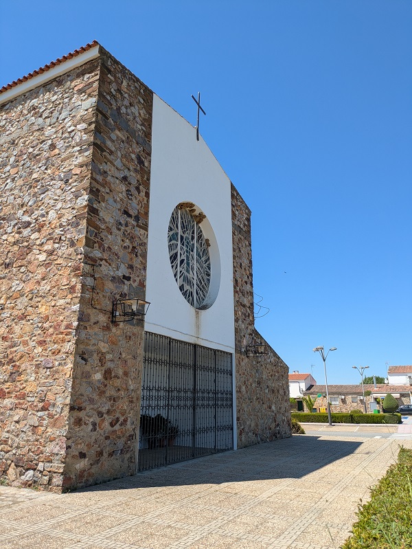
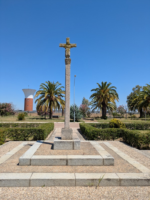
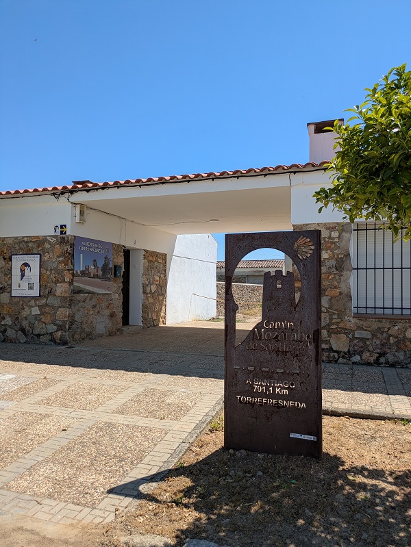
Most streets in this settlement located north of Guareña run from north to south. The local church, which displays curious mosaics on its windows, has a separate bell tower. A statue commemorating the first settlers can be found in Plaza del Colono. And from the main square, you can spot the water tower to the north. Torresfreneda is a stop on the Camino Mozárabe from Almería to Mérida (where it joins the Vía de la Plata to Santiago).
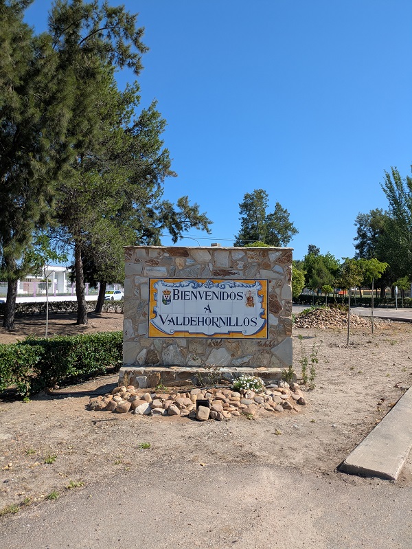
Valdehornillos
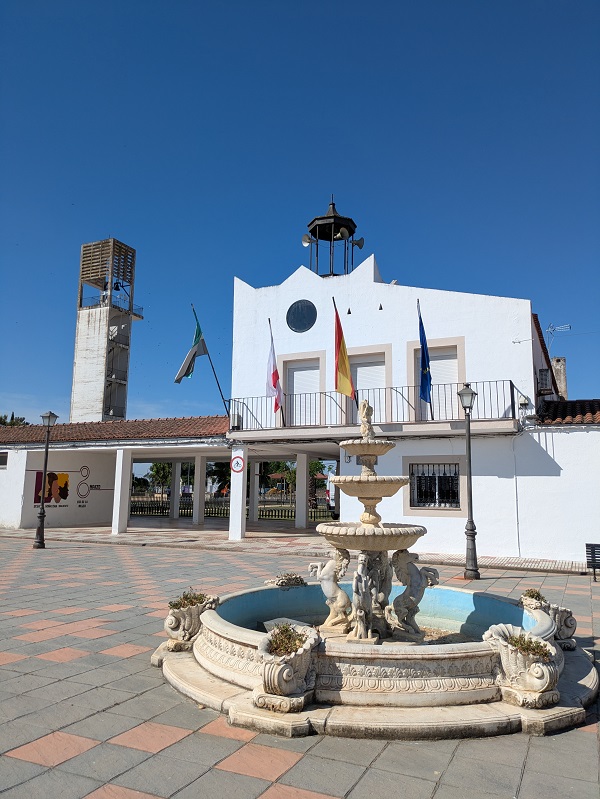
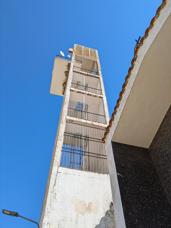
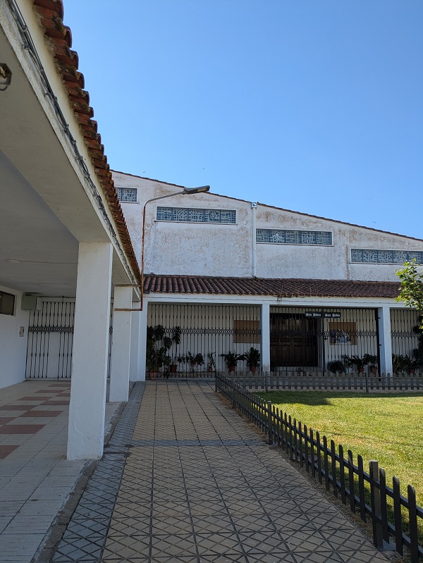
Belonging to Don Benito, Valdehornillos has the usual main highlights of colonisation villages, with a twist – its town hall, tucked away in a corner of the former civic centre, displays a sort of crown-shaped decoration at the top; the bell tower of the local church features vertical sections fully open on two sides and protected by railings, the belfry topped by a pallet-looking concrete structure.
Valdivia
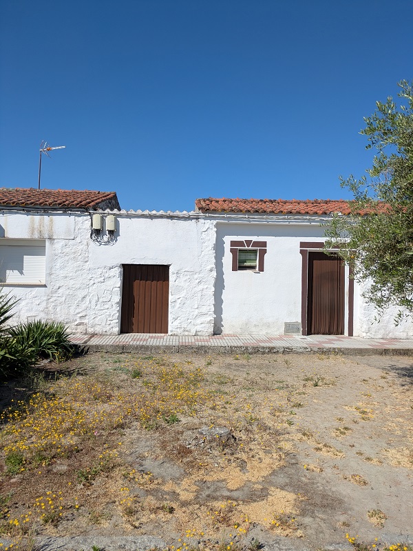
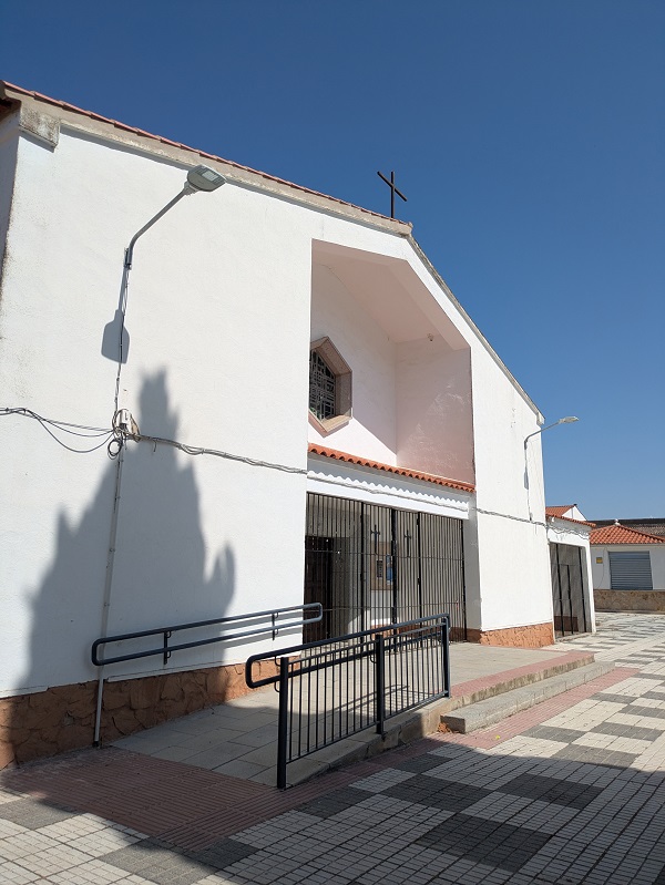
Valdivia was the first colonisation village in the Vegas Altas area, with the first settlers moving here mainly from Villanueva de la Serena in 1954. Strongly associated with fruit production, the village welcomes you with a gigantic sculpture of a plum, the local staple. In its rather lively main square, the local church displays a rather nice hand-drawn-style tile decoration at the front. Although there are many new houses, some still preserve (or have adopted) the original look of whitewashed walls and green blinds and doors.
Vivares
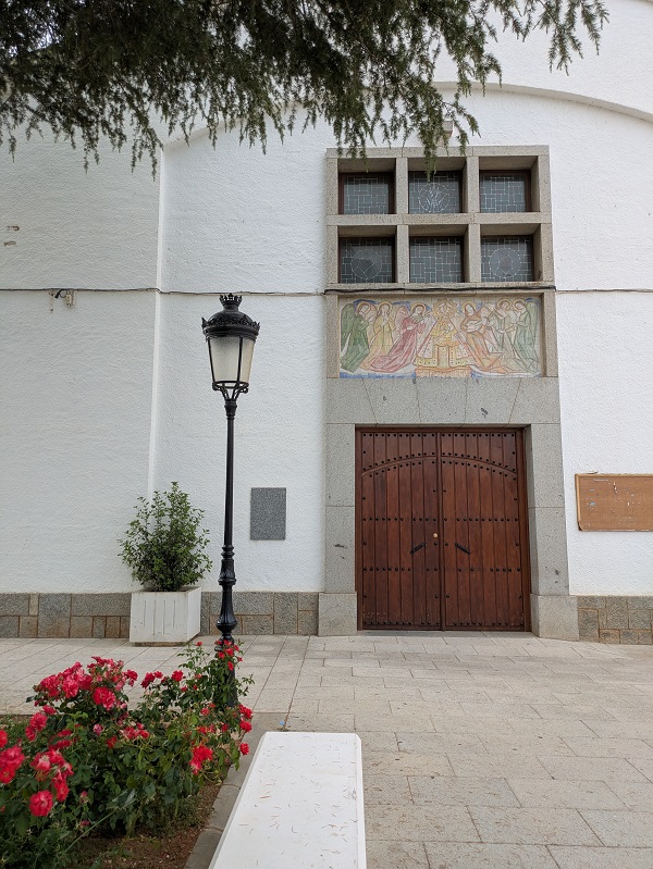
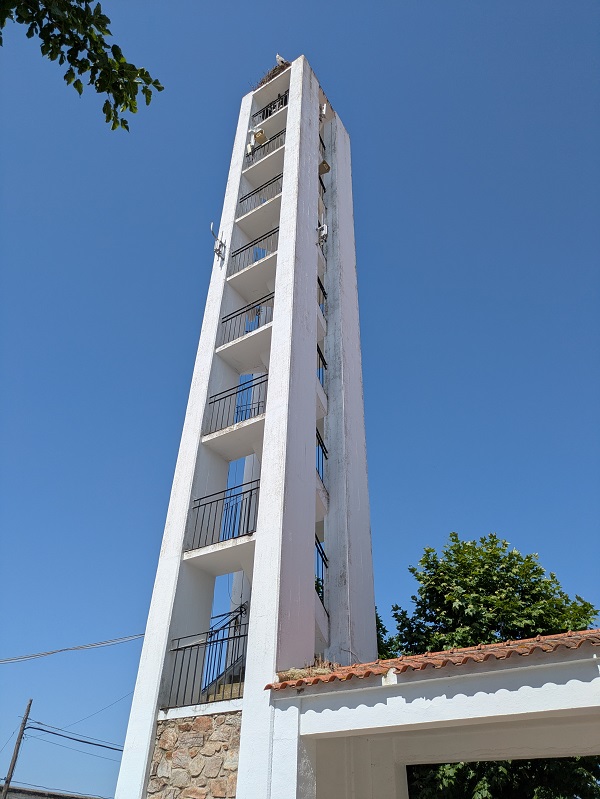
Belonging to Don Benito, Vivares is one of the few settlements that have not modified its original, triangle-shaped layout. In the main square, the bell tower of the local church has vertical sections fully open on its four sides, while its town hall, located on the red brick-porticoed side of the square, has a little clocktower with a blue and white tiled top. Stay in Vivares after sunset and look out for its glow-in-the-dark murals spread across the village.
Yelbes
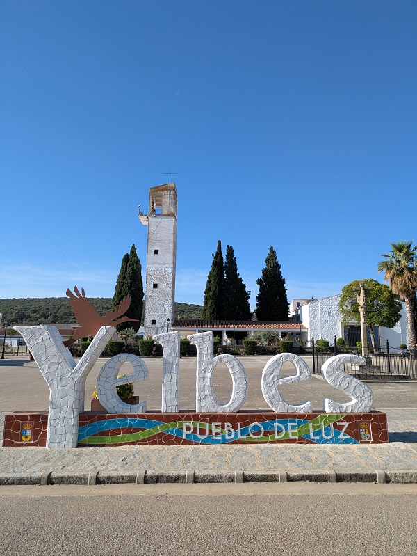
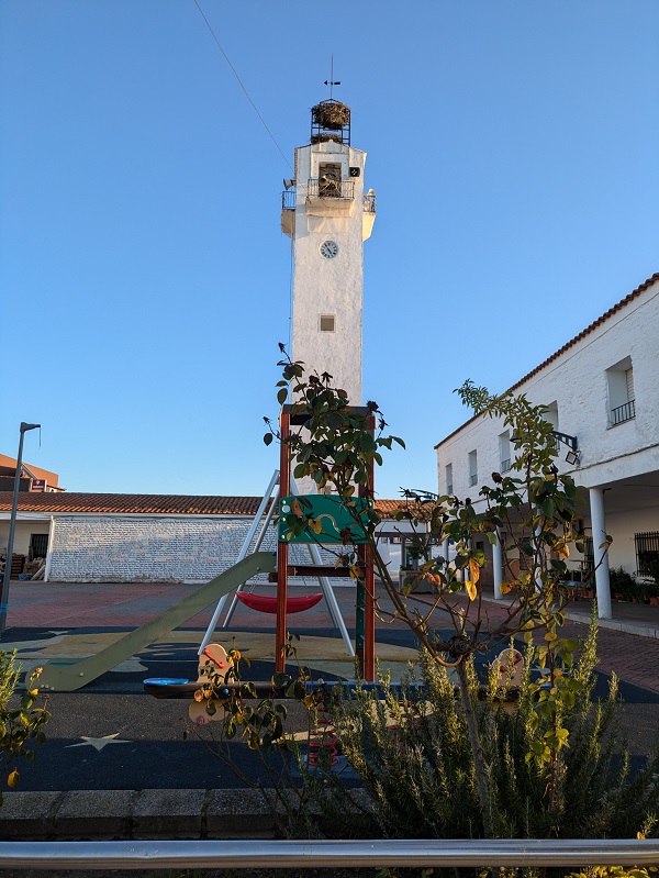
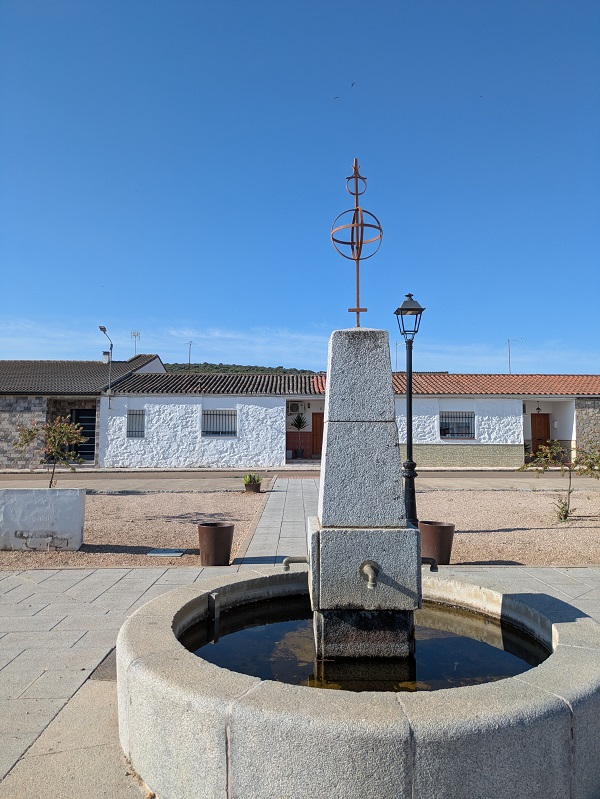
Situated west of Medellín, Yelbes is clearly divided in two by a wide boulevard along the main BA-142 road that runs from east to east. Its Plaza de España is a large open square dominated by the square bell tower of the adjacent church (which has some nice blue tiled decorations at the front). It’s also home to the town hall, and a children’s playground and is surrounded, on three of its sides, by the classic whitewashed houses.
Map of colonisation villages in Extremadura
Find all the places mentioned in this article on the map below.
Other articles about villages in Extremadura:
- Small villages in Extremadura
- Cáceres province destinations: villages in La Vera
This content is protected by copyright and belongs exclusively to Irene Corchado Resmella. To know exactly what this means, read the 'Copyright' section in the Website terms of use.
Irene Corchado Resmella
Hi! I’m Irene (/ee-REH-neh/). Long since settled in the UK, I explore my Spanish home region of Extremadura with an inquisitive mind, a sharp eye, and the duality that comes with being both a local and a visitor. Then I write about it here to help you discover this beautiful yet overlooked part of Spain. If you have any questions after reading this article, submit a comment below! Read more about me.
