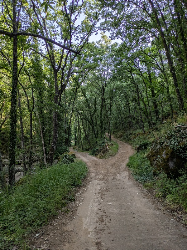
SL-CC 34 Ruta Puente de los Papúos is a linear walk outside the village of Jerte, in the Valle del Jerte area, which involves walking amongst terraces of cherry trees and through leafy woods to the sound of a nearby river.

This article includes a general overview of the route, practical details, my own thoughts and some tips to help you plan your walk.
Ruta Puente de los Papúos_main

This post contains affiliate links. If you click through and make a purchase, it will generate a small commission for me, at no extra cost for you. Read the full disclosure for more details.

SL-CC 34 Puente de los Papúos is a local (SL) FEXME-approved route that takes ninety minutes to complete. It is a linear route starting and finishing at the eastern end of Jerte, by the little local tourist information centre.

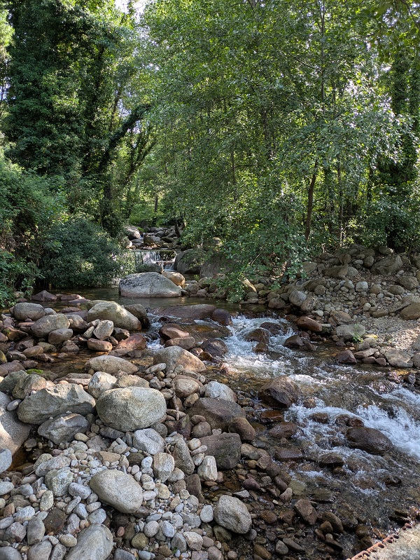
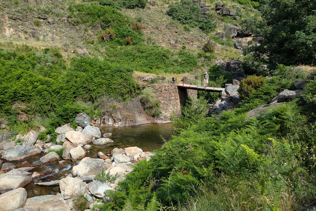
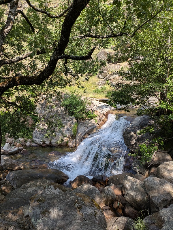
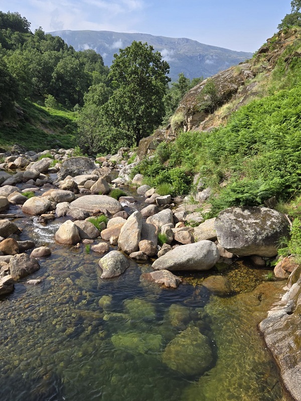
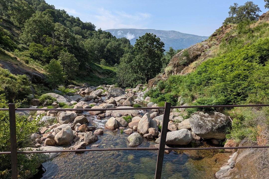
The main highlights of this route are the views of terraces of cherry trees, leafy oak and chestnut woods and the natural pool by the bridge on Garganta Los Papúos.

Start and finish: by the local tourist information centre (on Avenida Ramón y Cajal). Coordinates: lat. 40.22381, long. -5.74789. Length: 5.5km Time: 1h 30min Difficulty: low (2/5) Cumulative elevation gain: 220m

Ruta Puente de los Papúos on a map

(Please note that I manually drew the route and it’s meant for rough reference only.)

My thoughts on this route

I walked the Ruta Puente de los Papúos at the beginning of June on a not-so-hot day (the maximum temperature that day was about 30 degrees). I started walking at 9.45am, after an overnight stay at the Hospedería,  just across the road from the starting point.

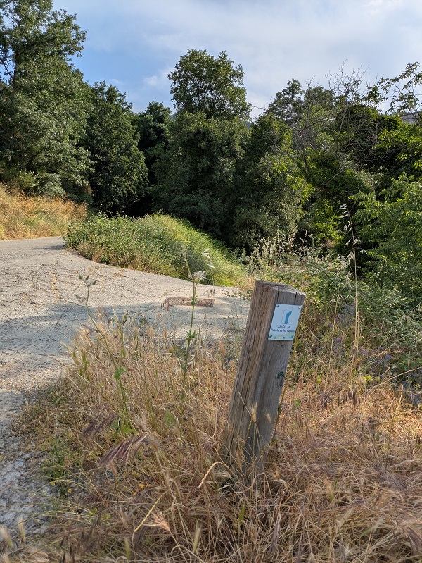
The route starts and ends by the local information centre on Avenida Ramón y Cajal, on the eastern end of Jerte. You’ll see several wooden signposts with information about the route.
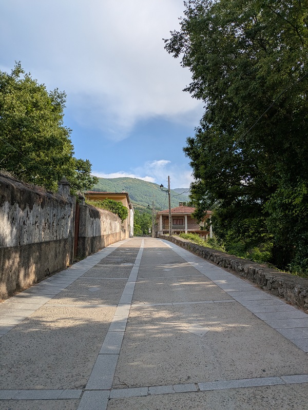
Follow the green and white signs along the way.
Ruta Puente de los Papúos_first part_1
Ruta Puente de los Papúos_first part_2
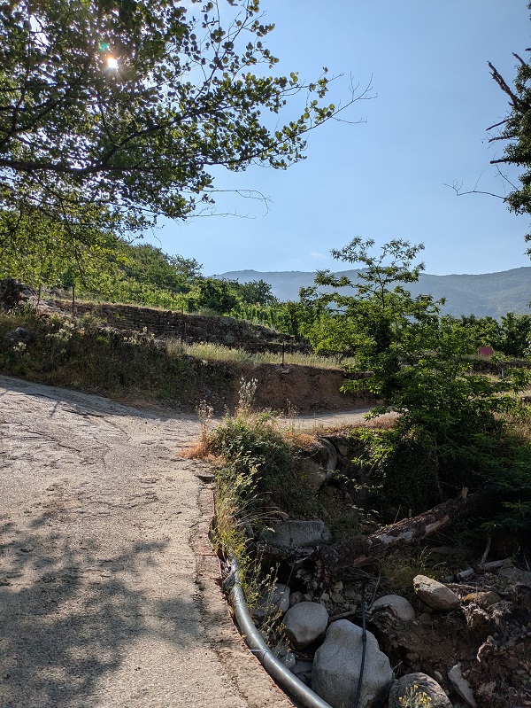
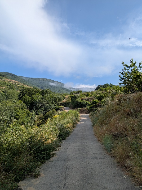
After a right turn, you’ll walk over the garganta, which will be on your left for the rest of the way right up until reaching the bridge. The path is paved but still fairly steep and hard on your legs. You’ll be walking amongst cherry trees and oak trees in what I found to be a surprisingly verdant landscape for this time of the year, thanks to an exceptionally rainy winter.
The path runs up amongst private agricultural farms, so be mindful of your surroundings and others when during the walk.
Ruta Puente de los Papúos_first turn right
Ruta Puente de los Papúos_path up amongst cherry trees
Ruta Puente de los Papúos_crossing the garganta
Ruta Puente de los Papúos_path up
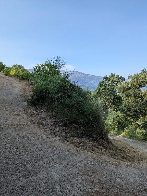
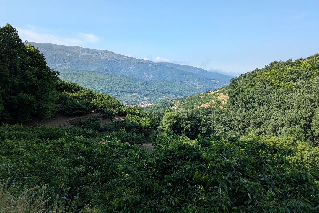
After walking through a small, wooded area, the path keeps climbing and becomes a track. No long after that, you’ll reach a sort of viewpoint, where you can enjoy great views of the surrounding area, with the village of Jerte set against a beautiful mountain backdrop.
Ruta Puente de los Papúos_wooded area
Ruta Puente de los Papúos_path keeps climbing up
Ruta Puente de los Papúos_viewpoint
At the time of my visit (early June 2025), a fallen tree blocked the track, but hopefully it’s been removed by the time you visit.
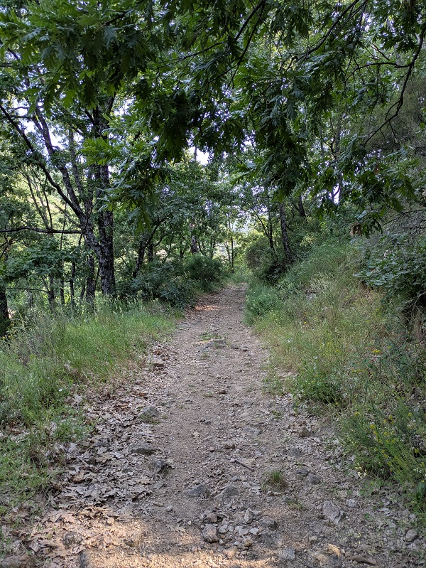
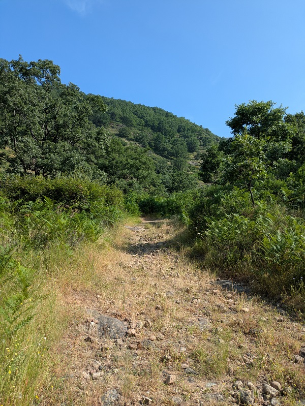
The track gets narrower, the terrain more rugged and uneven. This part is a lot more exposed to the sun, with some oak trees.
Ruta Puente de los Papúos_path gets narrower
Ruta Puente de los Papúos_more exposed
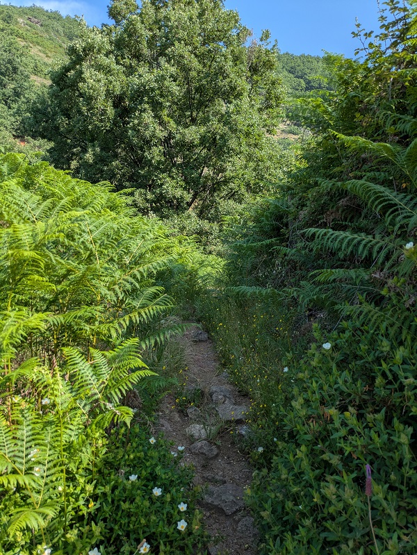
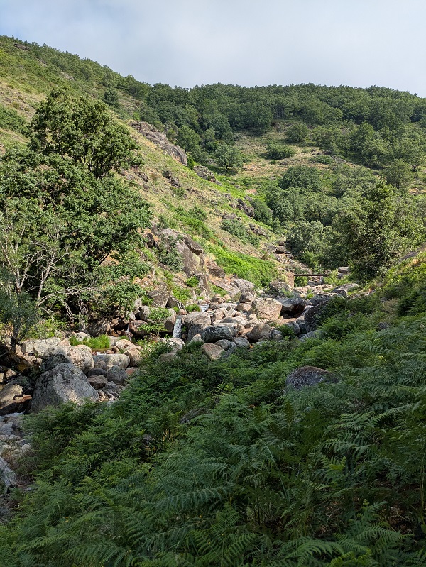
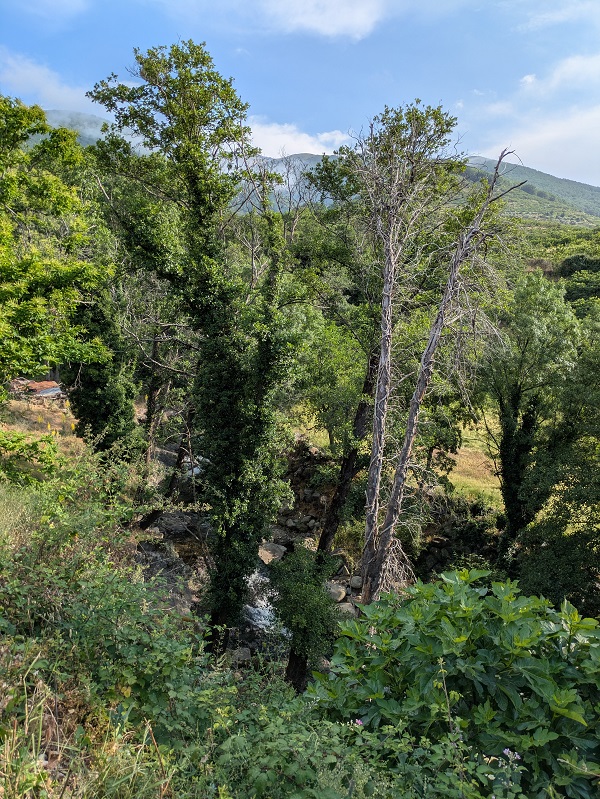
In the last part of the route, you’ll take a left turn and follow a narrow little path running parallel to the river along a shaded fern-covered hillside. You’ll be able to spot the bridge within the amongst the boulders. There’s a little waterfall upstream, while the pool by the bridge is great for a well-deserved cold dip before retracing your steps back to Jerte.
Ruta Puente de los Papúos_narrow path with fern
Ruta Puente de los Papúos_last part
Ruta Puente de los Papúos_bridge
Ruta Puente de los Papúos_waterfall
Ruta Puente de los Papúos_pool

Tips and practical info

What to pack for this route: the first part of this route is on a paved path where standard trainers will do, but the terrain changes a lot during the second part, so I suggest packing walking shoes. Apart from the usual essentials (water, snacks, a hat, sunglasses, sunscreen), I’d pack a towel, even if you don’t plan to swim – there’s plenty of boulders to lie on and rest. It will come in handy.

When to do this route: this walking route is suitable for any time of the year. But here are a few things you may want to consider when deciding when to do it. In spring (late March/early April), the cherry trees will blossom; from late May onwards cherries will be ready (to see and to eat); and the summer will be the best time to enjoy the freezing waters of the pool by the bridge.

Where to park: there’s free on-street parking on the main road (Avenida Ramón y Cajal), so you won’t have any issues parking near the starting point.

Where to stay: if you need a place to stay nearby after completing this route, look for accommodation in Extremadura.

What else to do in the area: if you’re into adventure activities, there are different local companies arranging canyoning group trips on the gargantas such as Garganta Los Papúos. If you’re staying overnight, consider completing one of the several routes available in the Garganta de los Infiernos Nature Reserve.

For more walking inspiration, read my thoughts on completing other walking routes in Extremadura.

This content is protected by copyright and belongs exclusively to Irene Corchado Resmella. To know exactly what this means, read the 'Copyright' section in the Website terms of use.

Irene Corchado Resmella

Irene Corchado Resmella

Hi! I’m Irene (/ee-REH-neh/). Long since settled in the UK, I explore my Spanish home region of Extremadura with an inquisitive mind, a sharp eye, and the duality that comes with being both a local and a visitor. Then I write about it here to help you discover this beautiful yet overlooked part of Spain. If you have any questions after reading this article, submit a comment below! Read more about me.

Follow on Instagram | Follow on Facebook

error: The content on this website is copyrighted and cannot be copied.