(Last updated on 13/10/2025)
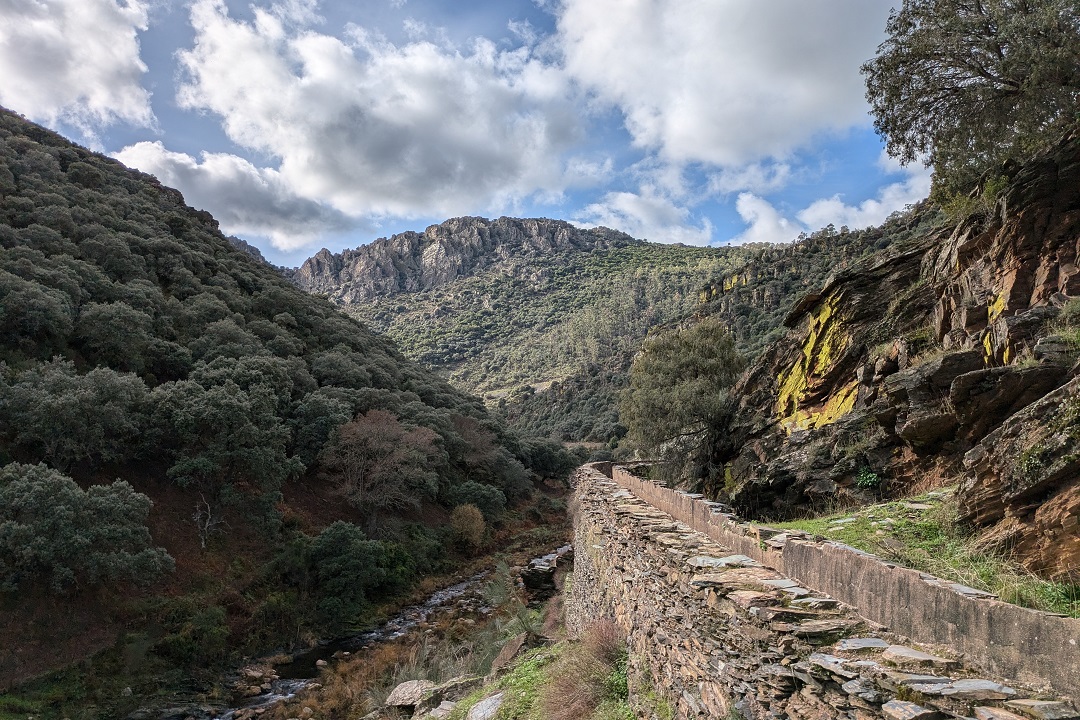
Ruta de la Herrería is a walk in Campillo de Deleitosa, a small village in the Villuercas-Ibores-Jara area. This is a particularly scenic route offering some spectacular views and the chance to walk along an old aqueduct with the burble of the river below as a soundtrack.
This article includes a general overview of the route, practical details, my personal thoughts and tips to help you plan and make the most of the walk.
This post contains affiliate links. If you click through and make a purchase, it will generate a small commission for me, at no extra cost for you. Read the full disclosure for more details.
Table of contents
Overview
Ruta de la Herrería is a single-day (not FEXME-approved) route starting at the southern end of Campillo de Deleitosa. My initial plan was to complete the longer (+5h, 11.11km) route available on Wikiloc that other walkers had completed and blogged about. But once I started the route, things got a bit confusing and, noticing newly-installed signposts, I decided to disregard the older information I had and follow the signs instead.
This article is about the specific (partial) Ruta de la Herrería circular route I completed by following the signs along the way. It is approximately 8.5km long and it took about 4h to complete.
The main highlights of this route are the slow, steep walk down to the aqueduct facing the magnificent sierra, and the old aqueduct that supplied water to a local blacksmith’s (herrería) and to several small electric power plants.
Start: Calle de las Herrerías, at the southern end of the village. Coordinates: lat. 39.70144, long. -5.57357
Finish: Calle Eras. Coordinates: lat.39.70382, long. -5.57237
Length: (approx.) 8.5km
Time: 4h
Difficulty: medium (3/5)
Ruta de la Herrería on a map
My thoughts on this route
I walked Ruta de la Herrería in late November, on a bright day of clear blue skies and fairly mild temperatures (around 14 degrees at noon), after an early morning drive from Plasencia.
I started the route at 9.35am, when it was still a bit chilly, but not windy at all. Barely an hour later, I had to take my fleece off, because it was getting hot. But as I walked down to the aqueduct and got closer to the river, it felt a bit cooler until the last upward stretch of the route.
The route starts at the southern end of Campillo de Deleitosa. The path starts off the end of Calle Francisco Pizarro, leaving the brick house on your right.
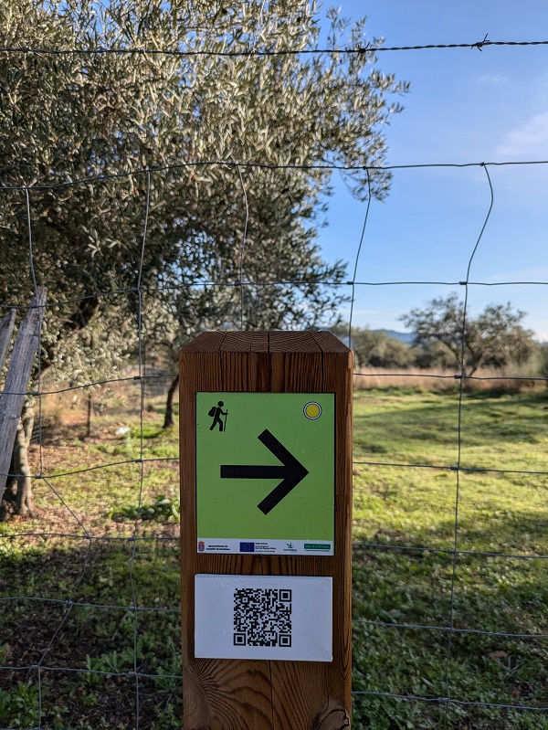
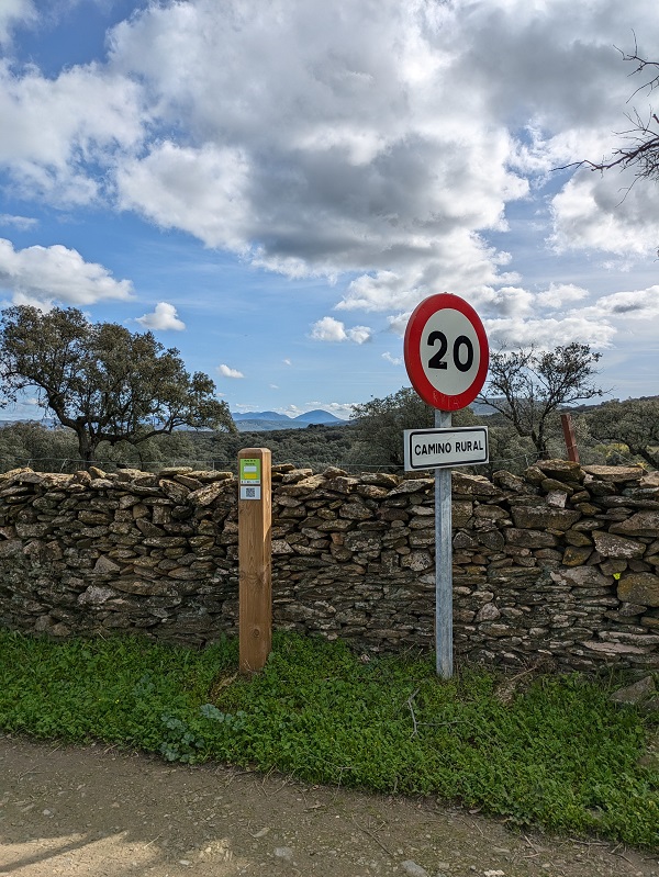
You’ll see numerous informal, hand painted signs and arrows around, some of them reading ‘Acueducto’. Please ignore any such signs and arrows and only follow the signs depicting the white and yellow route sign.
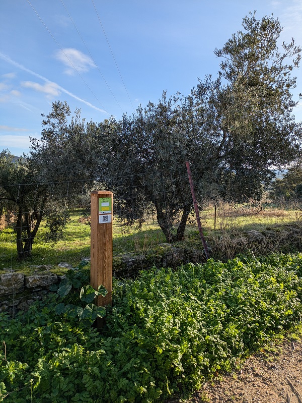
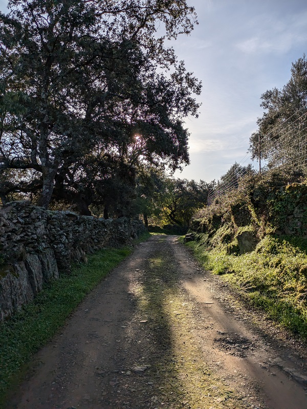
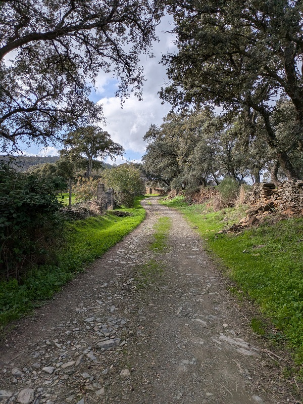
The first part of the route is an easy walk amongst olive groves and cork oaks, which provide partial shade along the way. It’s a gentle climb on a rather easy terrain with some small loose stones. In this part of the route I could hear the loud buzzing noise of bees.
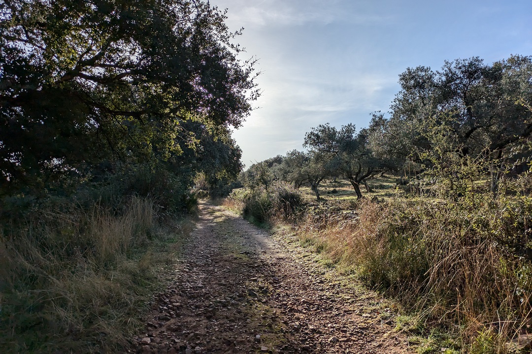
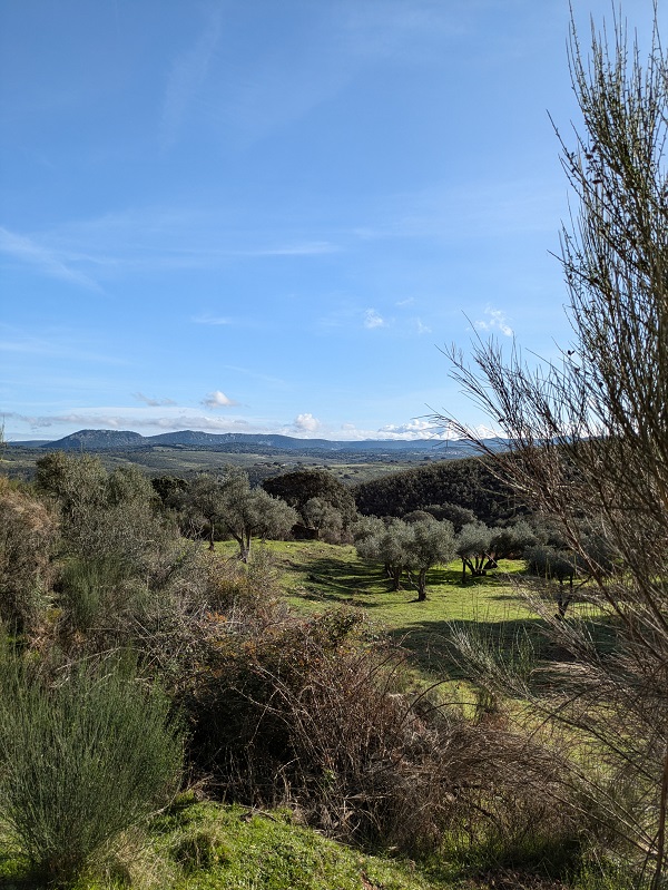
The path starts opening up. You reach a sort of plateau with wide, open, far-reaching views to the east, the vegetation being mainly bushes and rockroses.
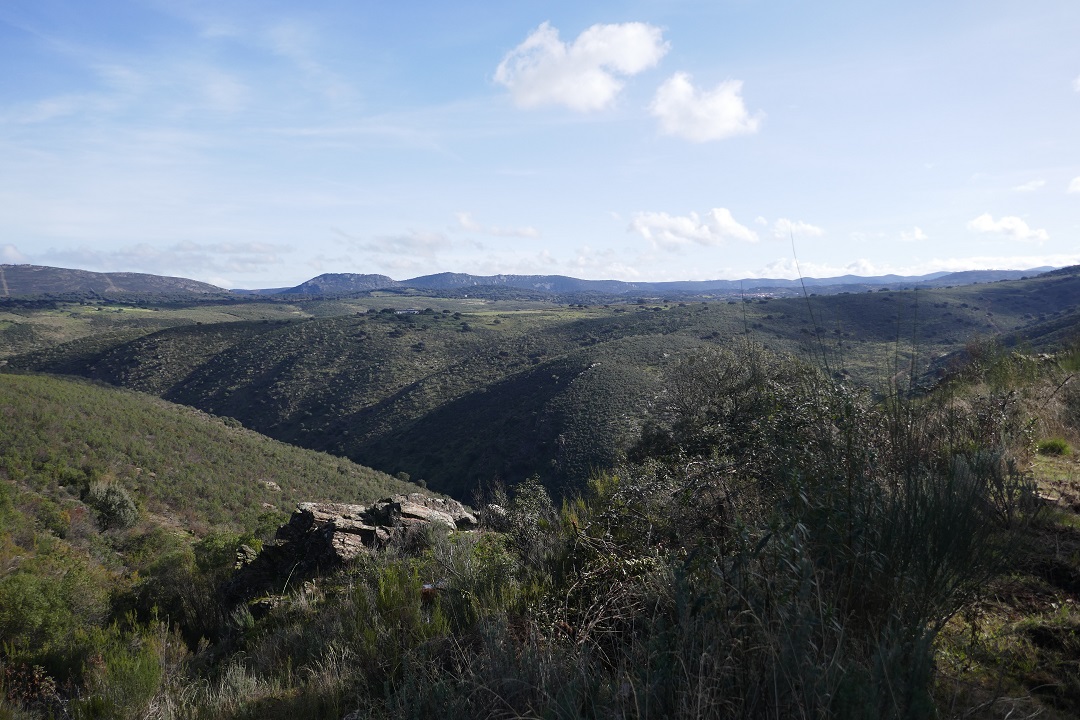
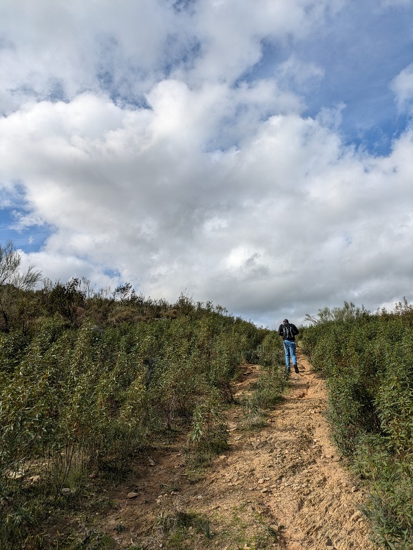
The path then takes a turn to the right and follows the side of a hill into the valley (Valle de la Herrería) towards the imposing peaks of the sierra. Once the sierra and the river (garganta Descuernacabras) are on sight, the path gets narrower and the terrain steep and uneven. I found this part of the route a bit hard on my ankles and knees. It requires slowing down and constantly watching your step, which is easier said than done, bearing in mind the spectacular view ahead.
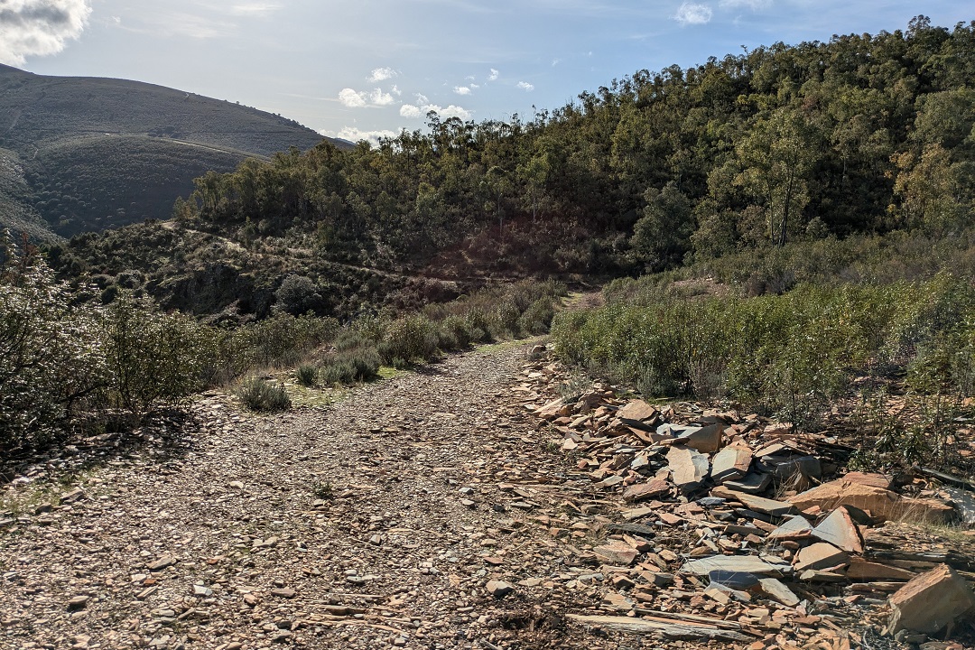
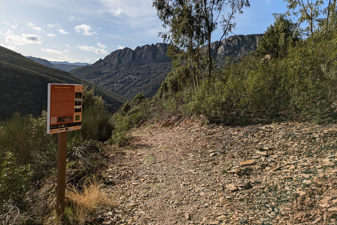
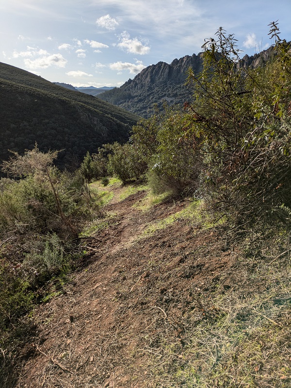
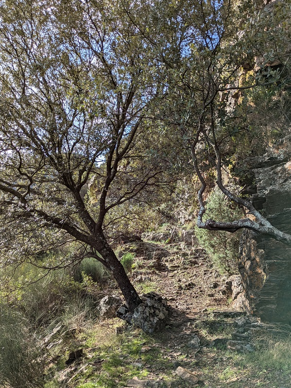
As you walk down and get closer to the aqueduct and the river, it starts getting cool and breezy. You can feel the moisture in the air and under your feet as you enter a forested area. When you reach the aqueduct, turn right and walk about one hundred meters to reach the former blacksmith’s, before retracing your steps and initiating the aqueduct stage of the route.
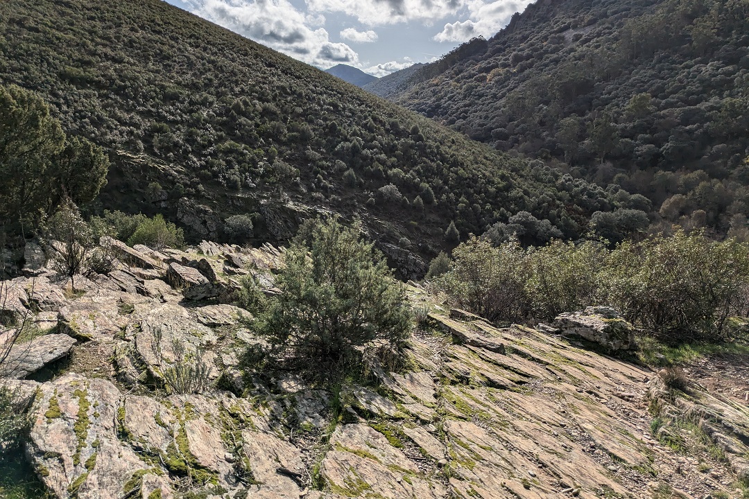
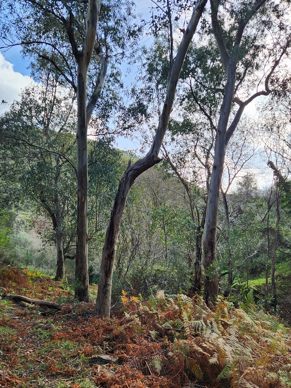
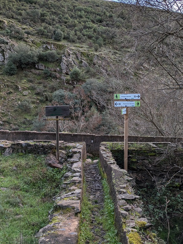
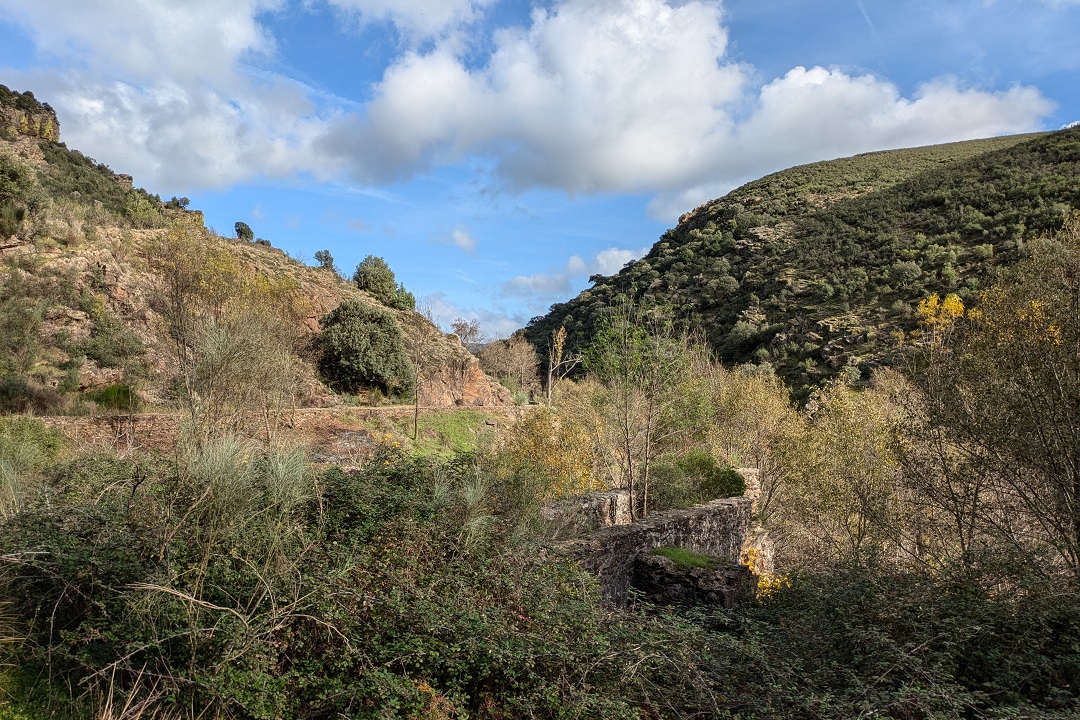
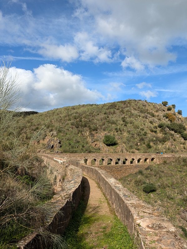
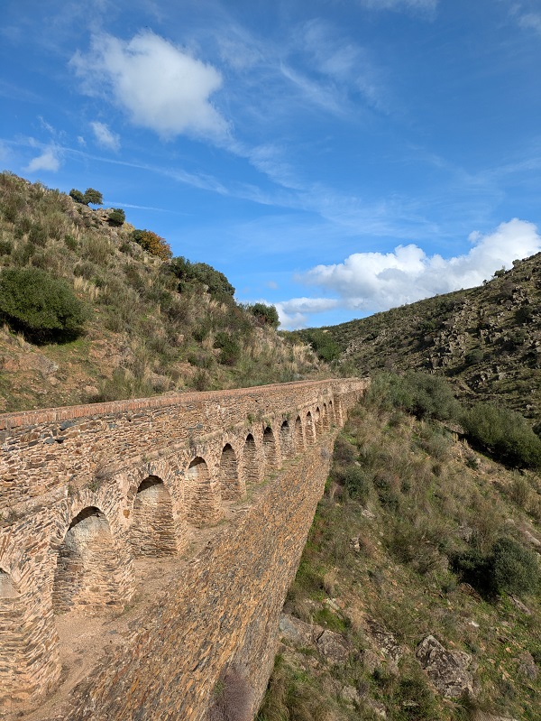
This part follows the aqueduct for several kilometres. The aqueduct is little over one metre wide, which, if you’re travelling with others, means walking in a single line. It’s also about one metre high, so it doesn’t restrict the view. Bear in mind that this part is quite exposed to the sun, so don’t forget your hat/cap and your sunglasses.
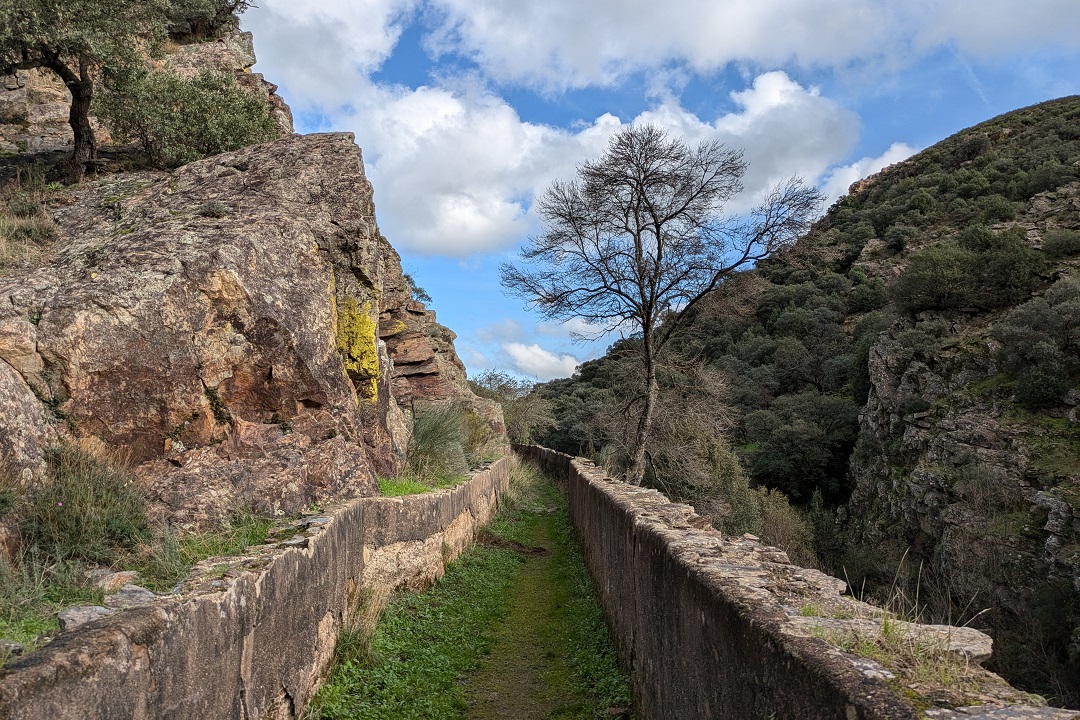
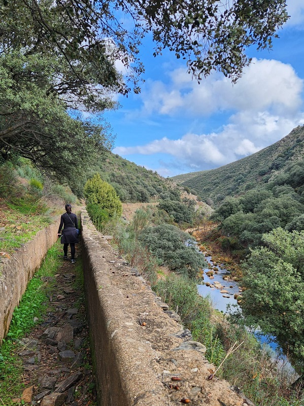
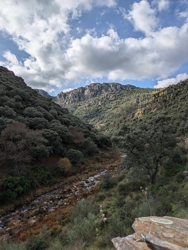
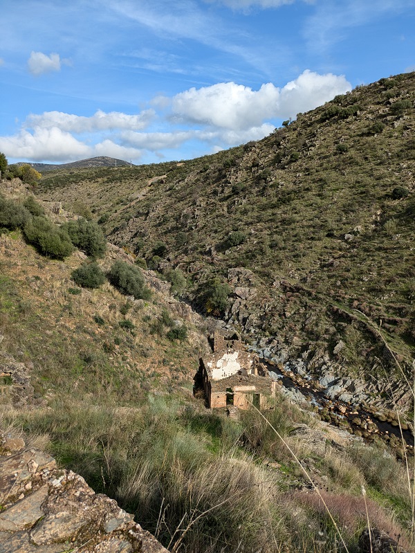
Follow the aqueduct until you reach a sharp ninety-degree-like corner. This is probably the best spot for taking pictures of the aqueduct, as the arches are visible from several points near the bend.
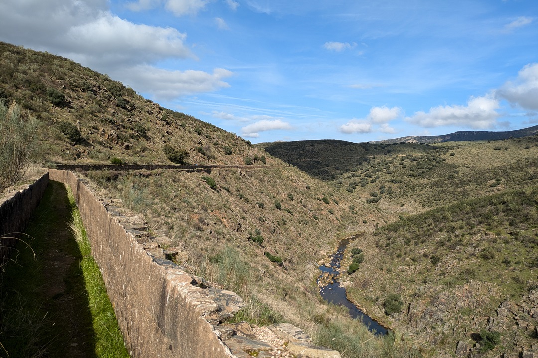
Now, at this point there are two options:
Option 1: to continue following the aqueduct and completing the full route.
Option 2: to leave the aqueduct and make your way back to Campillo de Deleitosa.
I must say that I (wrongly) chose option 2 out of pure instinct, because the wooden post at the bend is angled out of sight for walkers coming from either side of the aqueduct; you need to step (or rather jump) out of the aqueduct to be able to see it. When you face the signpost, the route-related arrow points at the start of the aqueduct (meaning retracing your steps), which didn’t make any sense.
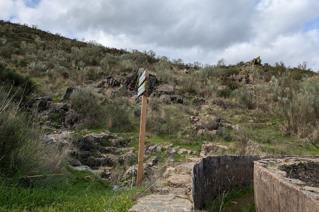
In hindsight, the signpost is clearly aimed, not at people completing the route, but at people walking straight from the village to this point of the aqueduct. My two cents: since walkers can arrive at this point from three different directions, three signs, each duly facing one direction, would be required to avoid confusion.
Anyway, I basically ended up unintentionally completing a shorter version of the route because of the signpost situation described above. But it made such an impression that I will certainly be back another time to complete the full route.
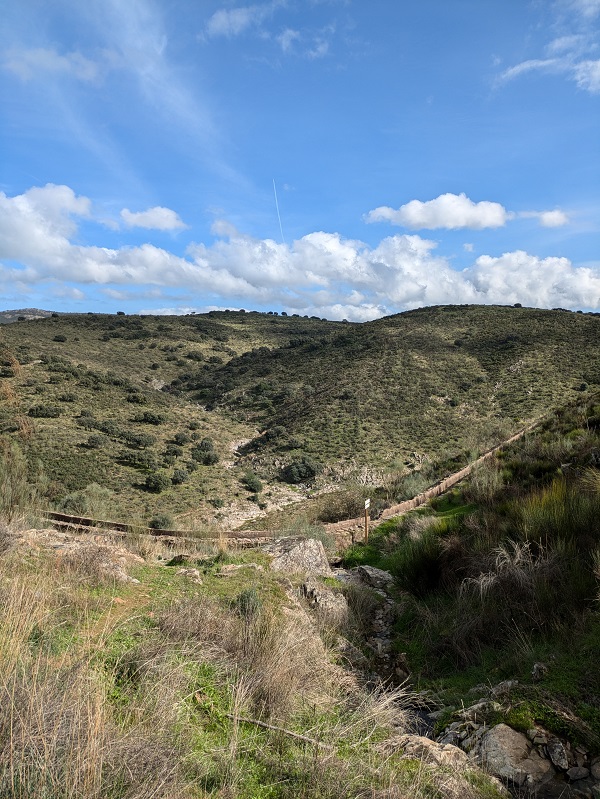
The walk back to the village starts with a steep climb that becomes a lot gentler along an unpaved country road (camino rural) that leads to Calle Eras.
Tips and practical info
When to do this route: this route is not suitable for the summer months (mid-June to mid-September). I’d recommend this route for a fine late-autumn or winter day, or a mild spring day.
What to pack: proper walking boots with ankle support would be the best for tackling the walk down to the aqueduct.
After the walk: if you need ideas of things to do after completing this route, you can visit the ruins of the Templo Los Mármoles outside Bohonal de Ibor (28min away by car) or enjoy some street art in Romangordo (29min away by car).
Where to park: there’s free on-street parking spaces in the surroundings of the medical centre in Calle Eras.
Where to stay: if you need a place to stay after completing this route, look for accommodation in Extremadura to find the most suitable place for your trip.
For more walking inspiration, read my thoughts on completing other walking routes in Extremadura.
Other things to see and do in Villuercas-Ibores-Jara:
This content is protected by copyright and belongs exclusively to Irene Corchado Resmella. To know exactly what this means, read the 'Copyright' section in the Website terms of use.
Irene Corchado Resmella
Hi! I’m Irene (/ee-REH-neh/). Long since settled in the UK, I explore my Spanish home region of Extremadura with an inquisitive mind, a sharp eye, and the duality that comes with being both a local and a visitor. Then I write about it here to help you discover this beautiful yet overlooked part of Spain. If you have any questions after reading this article, submit a comment below! Read more about me.
