(Last updated on 13/10/2025)
Ruta de los Escalones (also called Ruta del Carrascal) is a circular route in Hornachos, located in the Sierra Grande-Tierra de Barros area of Badajoz province, featuring (lots!) of steps, huge rocks, views of an Arab castle and a sixteenth-century fountain.
This article includes a general overview of the route, practical details, my personal thoughts and tips to help you plan and make the most of the walk.
This post contains affiliate links. If you click through and make a purchase, it will generate a small commission for me, at no extra cost for you. Read the full disclosure for more details.
Table of contents
Overview
Ruta de los Escalones is a 3km long, circular (not FEXME-approved) route that takes about two hours to complete. It starts and finishes at a viewpoint located on the northeast side of Hornachos called mirador del Pósito.
The main highlights of the route are the ascent towards the sierra via lots of steps, the huge rock Peñón del Carrascal with the ruins of the Arab castle in the background, the variety of terrain, the mighty view of Hornachos from the highest point of the route, and the walk down the rocky area before making your way to a medieval fountain.
Start: mirador del Pósito (coordinates: lat. 38.55606, long. -6.06488)
Finish: mirador del Pósito (coordinates: lat. 38.5562, long. -6.06498)
Length: 3km
Time: 2h
Difficulty: medium (3/5)
Ruta de los Escalones on a map
My thoughts on this route
I walked Ruta de los Escalones in early December, on a grey, overcast day of gentle breeze, starting off at 10:58am. The weather forecast for that day was rather pessimistic, with lots of rain expected, but I decided to set off from Don Benito anyway, determined not to let rain spoil my visit to Hornachos (again).
I wasn’t very hopeful about being able to complete the walk at first. The sky was quite dark and it felt like rain would come at any time, but I decided to start walking slowly and take some pictures. I ended up walking a bit more, and then another bit more, and I eventually completed the route. It drizzled for about ten minutes, but it didn’t rain properly. Not in Hornachos anyway (it did rain on the road, though).
This route is supposed to be marked in pink, but you won’t find any pink signs or arrows. Follow the violet sign posts and arrows painted on the rocks (at least until you reach the ‘problematic’ turn I mention below).
The first part of this route involves walking up a stone paved path towards the sierra. The path is fairly steep, but easy, with lots of steps at regular intervals. Some ten minutes into the route, you’ll see a huge rock to your left with some cave art inside which, unfortunately, is not publicly accessible (at least without prior permission), since the gate is locked. A bit further on (coordinates: lat. 38.556222, long. -6.058028), there’s a stargazing viewpoint – a round, artificial stone that automatically lights up for a few hours every night, displaying a map of the sky.
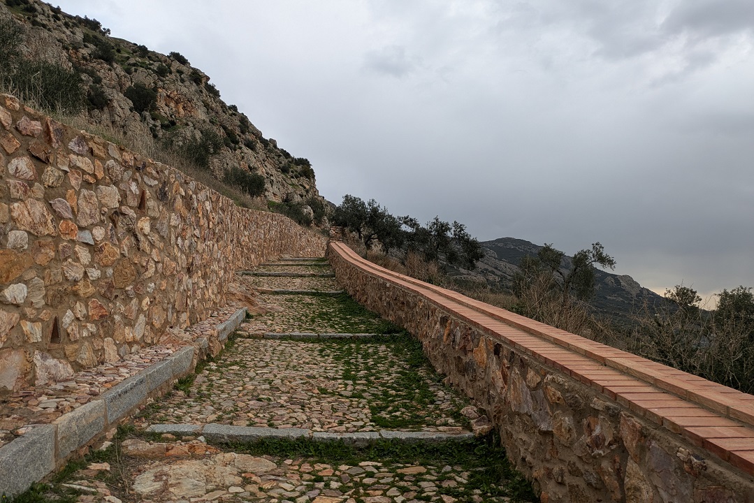
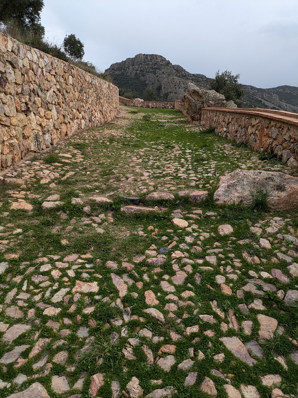
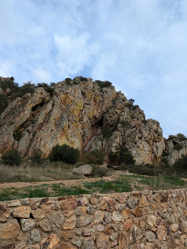
The path continues eastbound towards the Salto de la Moza and Peñón del Carrascal rocks, still steep. At this point, if you look back, you’ll see the Valle de los Cristianos you just walked up, the town of Hornachos with the plains in the background, and the ruins of the Arab castle to your right.
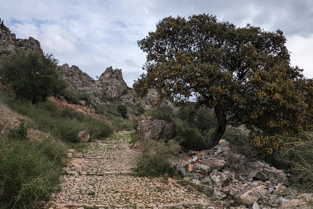
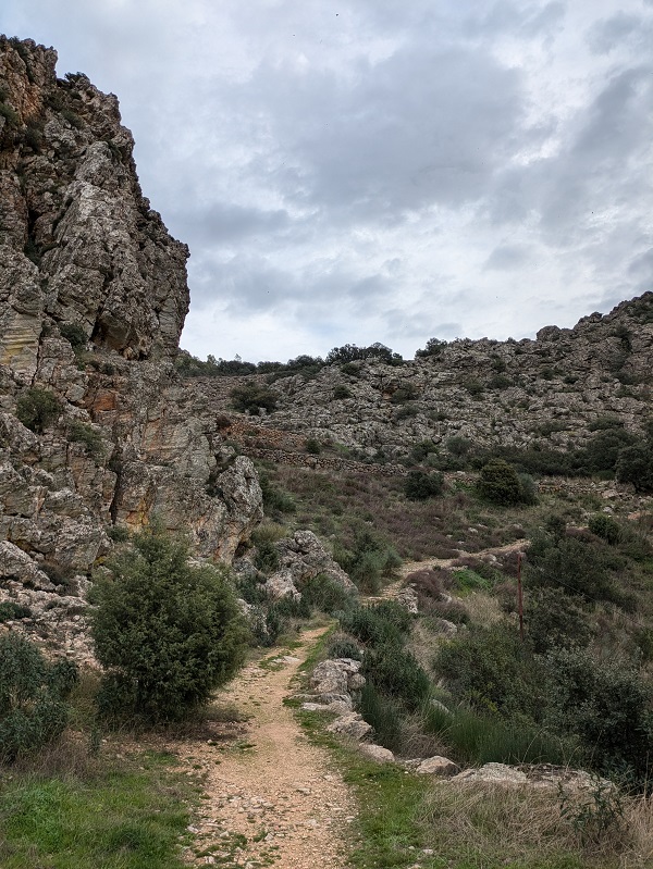
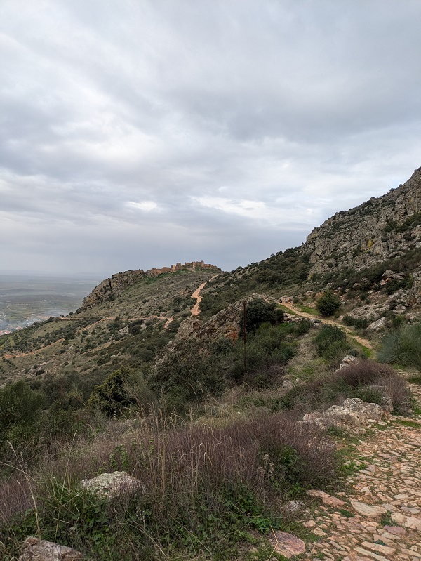
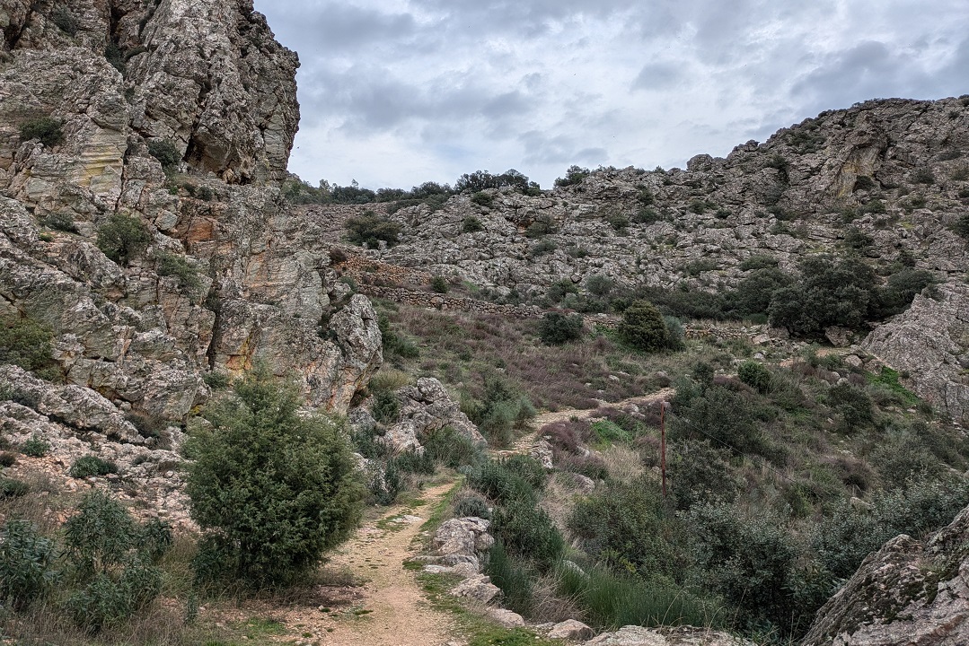
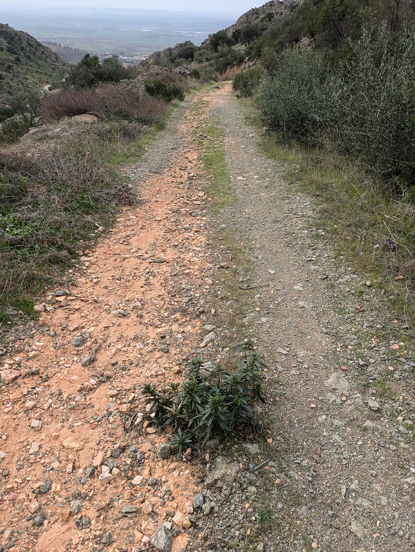
The second part of the route involves bordering the Peñón del Carrascal, with a noticeable change in terrain and landscape. The stone paved path gives way to a rough, rocky track amongst classic Mediterranean vegetation featuring cork oaks, juniper, rockrose, rosemary and thyme shrubs. At the highest point, the track becomes a path again, a flat and easy one to walk along a stone wall (look out for the violet signs). From here, you’ll see another valley (Valle de Los Corraletes) with cascading stones.
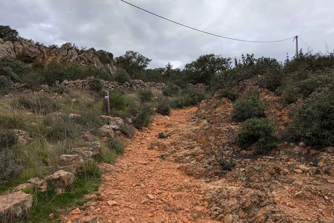
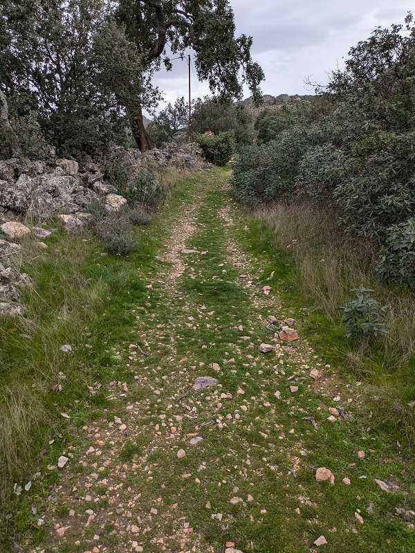
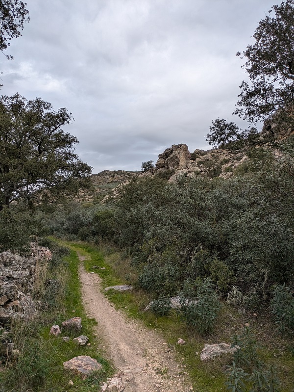
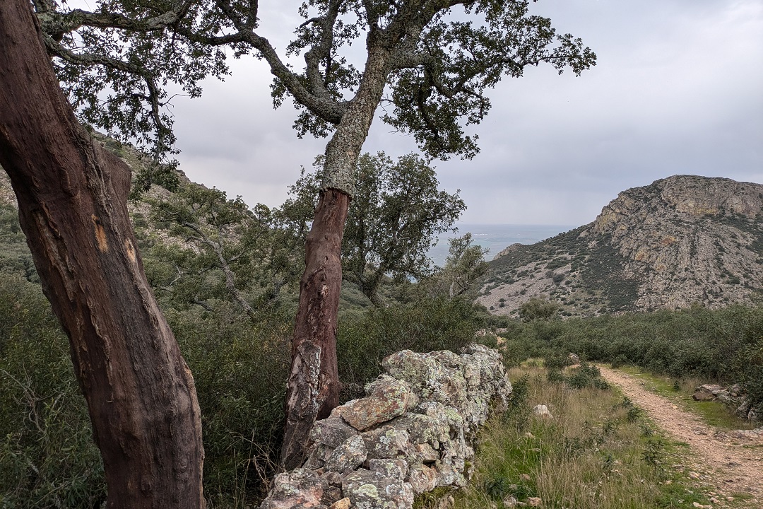
Things get a bit confusing at the fork. There are two series of yellow and green arrows painted on two separate rocks, all four pointing to the left. By instinct, I took the left turn and followed a narrow path between stone walls for a bit until I reached an open area with probably the most amazing views of the whole route. But it wasn’t part of this route. That rather long path eventually leads to the castle ruins and is part of another route.
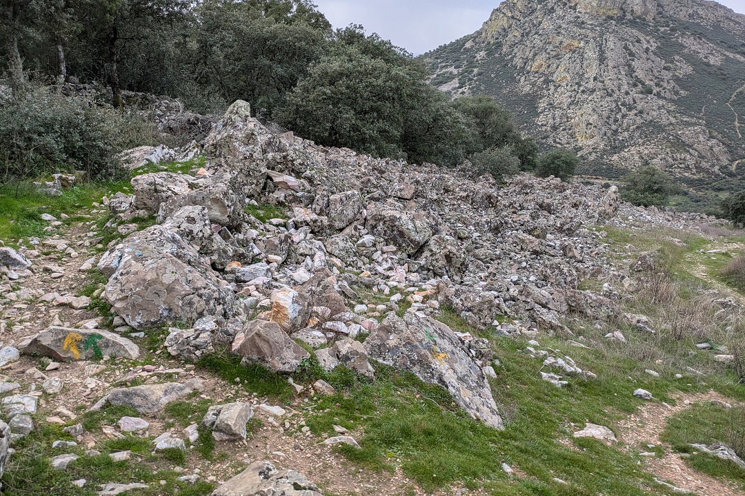
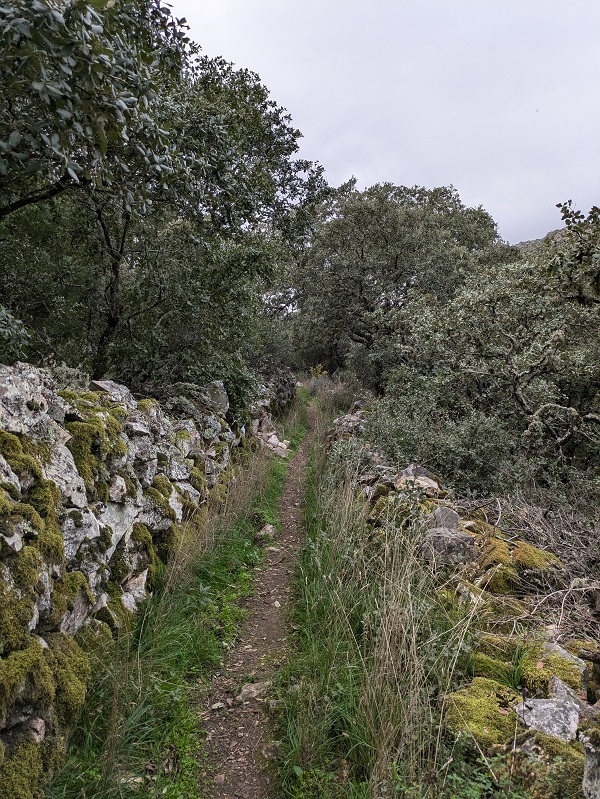
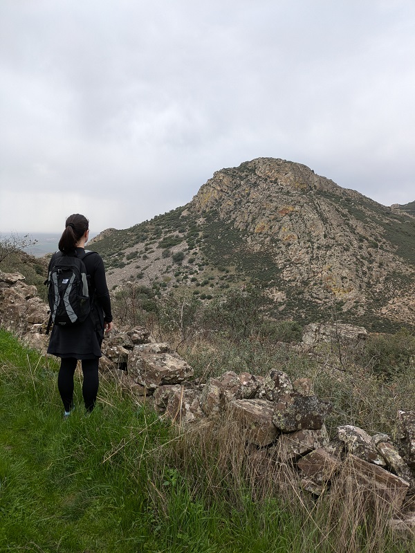
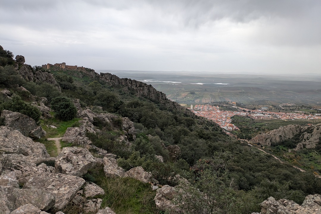
I retraced my steps back to the fork and had a better look at the arrows. On the larger stone, apart from the green and yellow arrows, I noticed what looked like a blue line (no arrow). Then I looked further ahead and I noticed another blue line on a standing stone. Nothing violet, or pink. But, since I had already tried turning left and didn’t work, I turned right this time and started making my way down the hill along the rock-strewn area. A few blue arrows started appearing along the way.
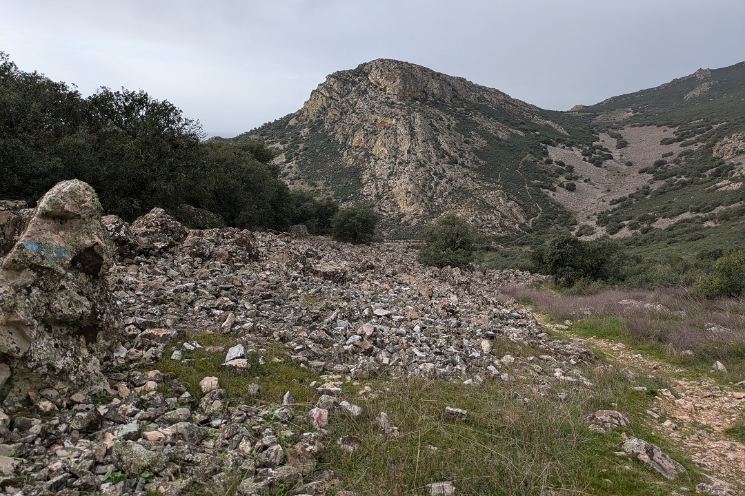
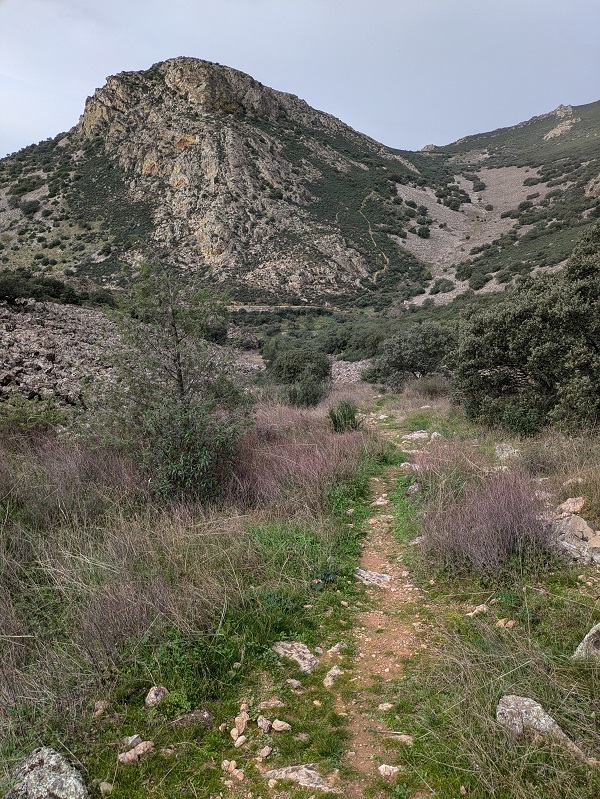
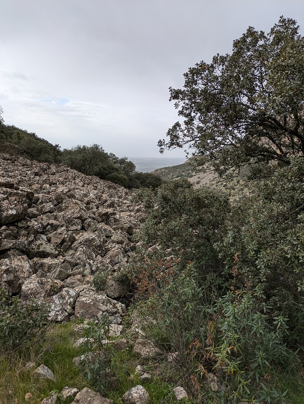
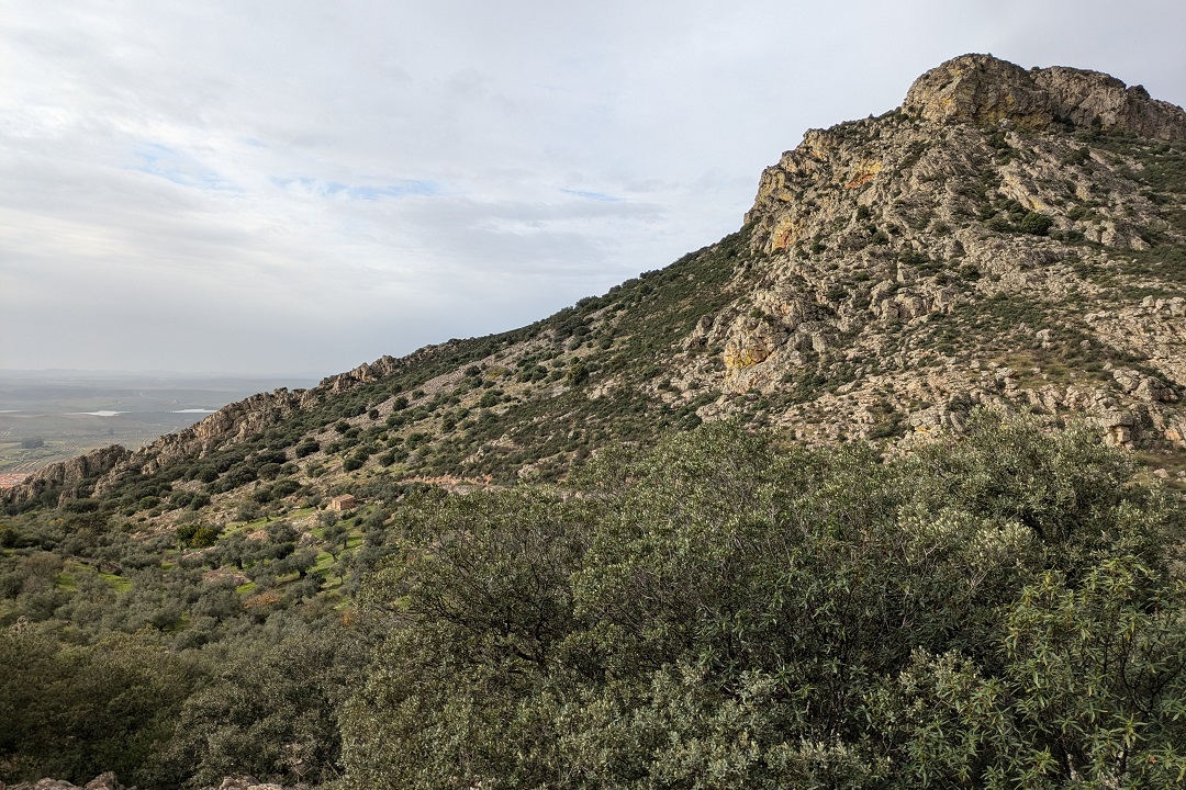
The last part of the route takes you down to Hornachos past a sixteenth-century fountain and a wash house, where you’ll join the easier stone paved path, no steps this time. Don’t forget to look back and around you to appreciate the different parts of the route completed so far, including the little diversion.
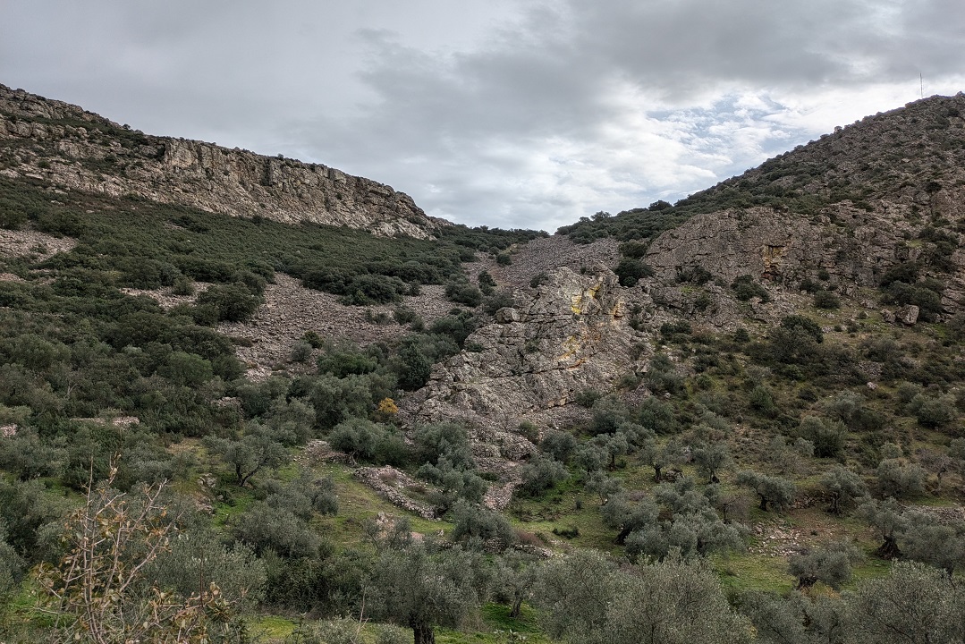
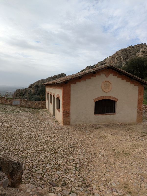
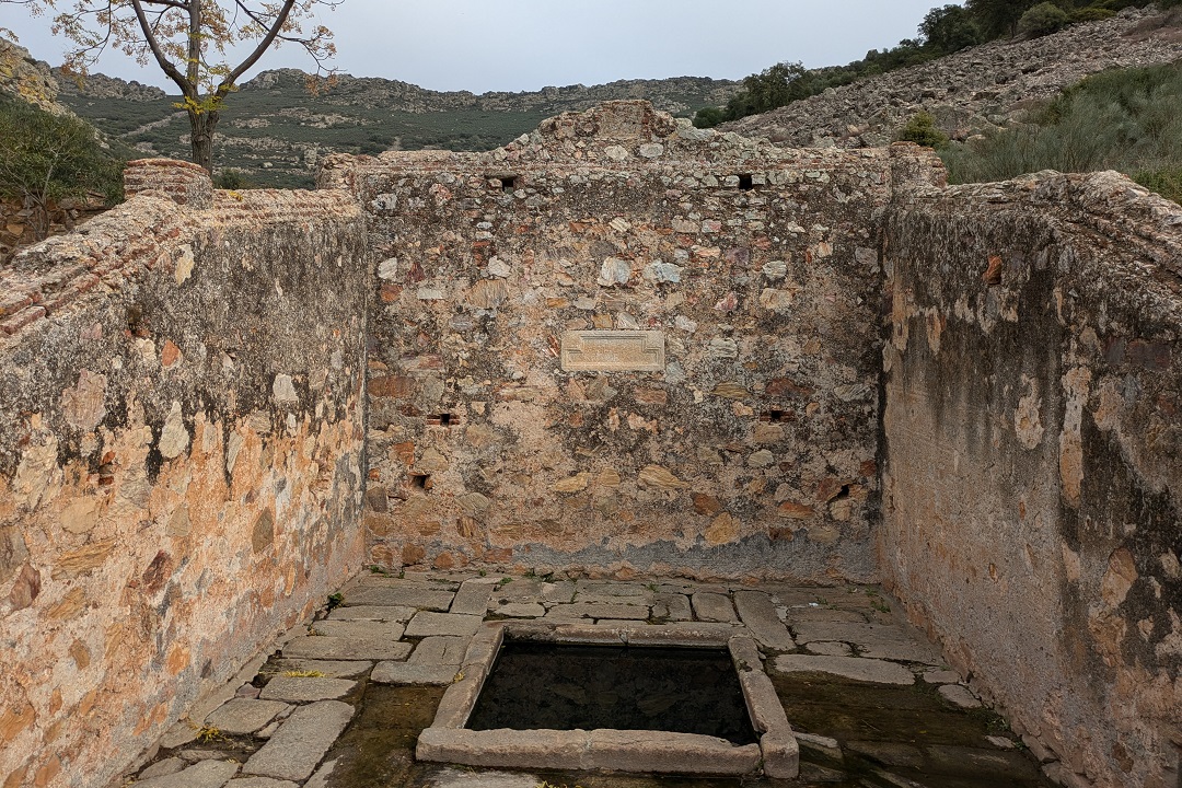
You can walk back to the start point and complete the full circular route before making your way down to the centre of Hornachos, but you don’t have to. You can simply walk along Calle Fuentes to the main square, after a quick stop (see below).
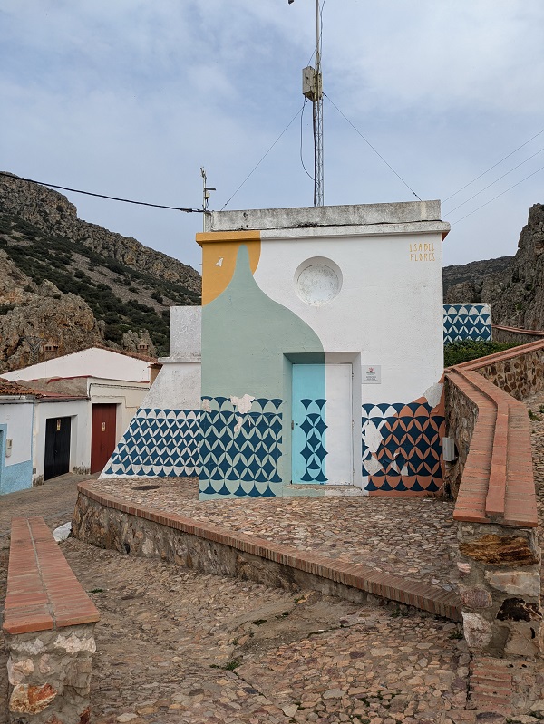
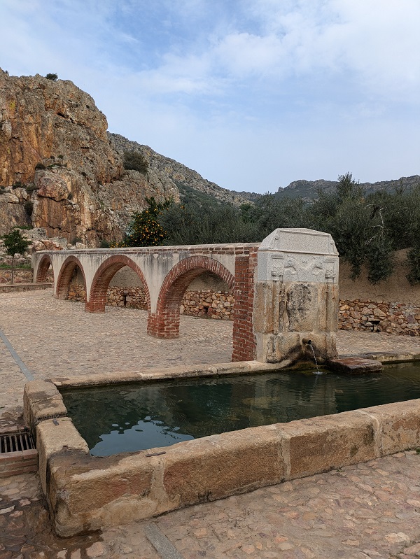
When you get to colourful water storage facility at the corner of Calle Fuentes, turn right towards Pilar de Palomas, a rather impressive Mudéjar hydraulic infrastructure carrying water from the springs in the valley to a fountain, with a pretty aqueduct in its final stretch.
Tips and practical info
When to do this route: Ruta de los Escalones is recommended for late autumn, winter (when not raining), and spring. Not suitable for the summer months (mid-June to mid-September).
Before/after the walk: (1) if you have the time, you can include a walk to the castle ruins from the fork into the route; (2) for a good view of Hornachos against the sierra, head to Plaza Virgen de los Remedios, to the south of Avenida de Extremadura.
Where to park: finding free on-street parking in Hornachos won’t be difficult, but you may prefer leaving the car on a main road and walk in rather than driving around a hilly town with numerous one-way streets. On my last visit, I parked on the EX-344 road (near the corner with Calle Cuco), which is under fifteen minutes on foot from the start point.
Where to stay: if you need a place to stay after completing this route, look for accommodation in Extremadura to find the most suitable place for your trip.
Other things to see and do in Sierra Grande-Tierra de Barros:
This content is protected by copyright and belongs exclusively to Irene Corchado Resmella. To know exactly what this means, read the 'Copyright' section in the Website terms of use.
Irene Corchado Resmella
Hi! I’m Irene (/ee-REH-neh/). Long since settled in the UK, I explore my Spanish home region of Extremadura with an inquisitive mind, a sharp eye, and the duality that comes with being both a local and a visitor. Then I write about it here to help you discover this beautiful yet overlooked part of Spain. If you have any questions after reading this article, submit a comment below! Read more about me.
