(Last updated on 13/10/2025)
This article includes a general overview of the route (the official route and some alternatives), practical details, my own thoughts and some tips to help you plan your walk.

This post contains affiliate links. If you click through and make a purchase, it will generate a small commission for me, at no extra cost for you. Read the full disclosure for more details.
Table of contents
Overview
According to FEXME: it’s 8.2km long and it takes 2h 25min in total to complete (return).
According to the signpost at the start point: it’s 4km one way and it takes 1h to complete.
Start: at the bottom of Calle Arrabal, where I parked the car. Coordinates for the start of the official route: lat. 38.71382, long. -5.54511
Finish: at the bottom of Calle Arrabal, where I parked the car. Coordinates for the finish of the official route: lat. 38.721694, long. -5.537216
Length: 6.4km
Time: 2h
Difficulty: low (2/5)
Cumulative elevation gain: 192m
Senda de las Pozatas on a map
My thoughts on this route
I walked the Senda de las Pozatas in late November. It was a bright day in Castuera of clear blue skies, but there was thick fog in the surrounding area (visible during the ascent). We drove from Don Benito through thick, dense fog until past Quintana de la Serena.
The temperature was fairly mild. I started the route at about 10:30am and by the time I reached the viewpoints at the top some 90 minutes later, it was 14 degrees Celsius.
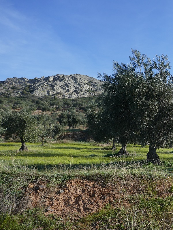
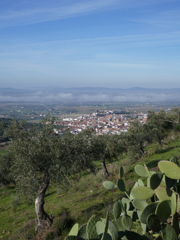
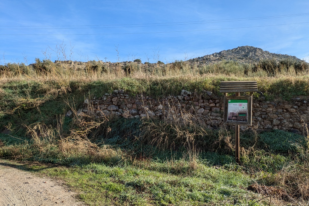
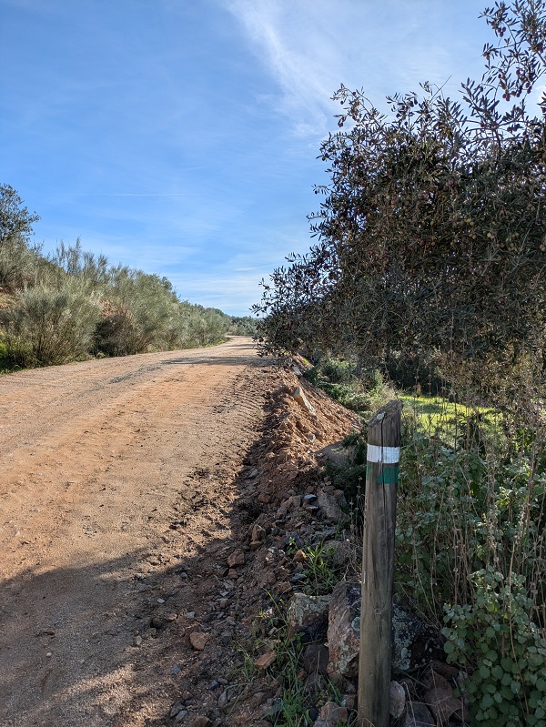
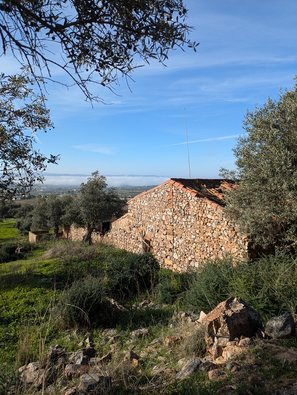
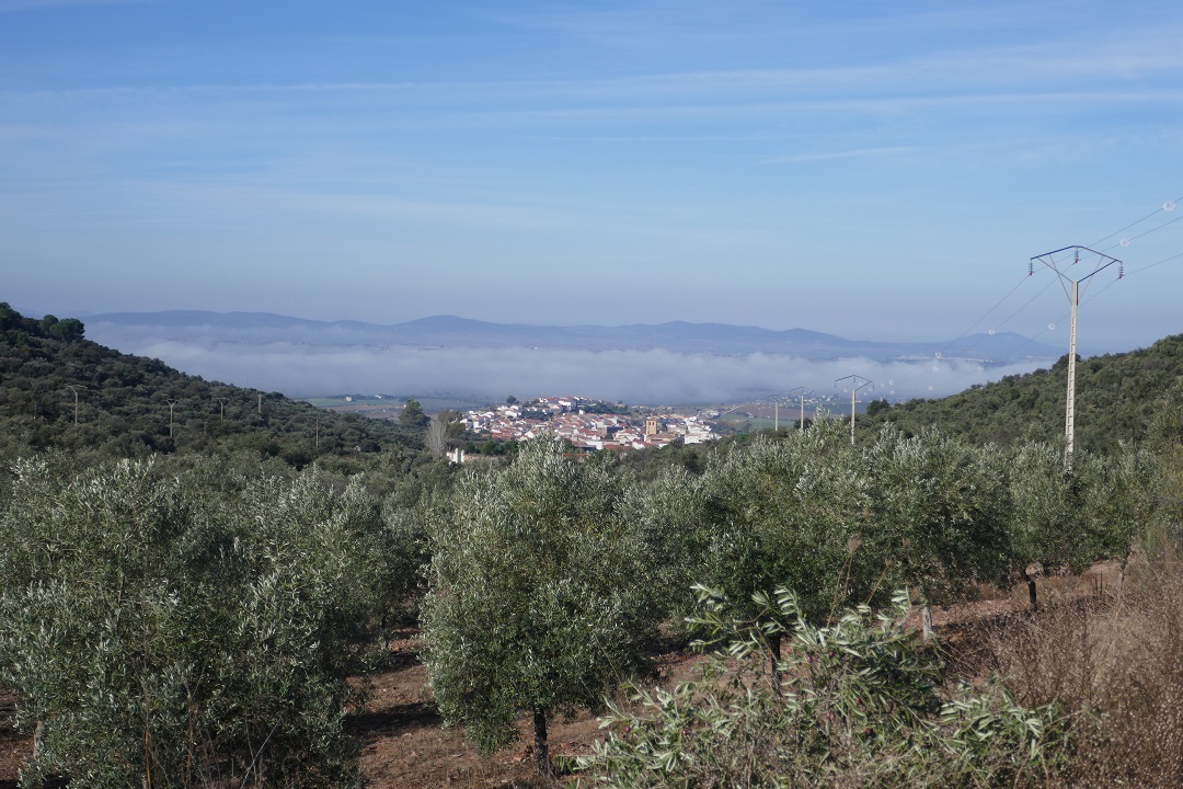
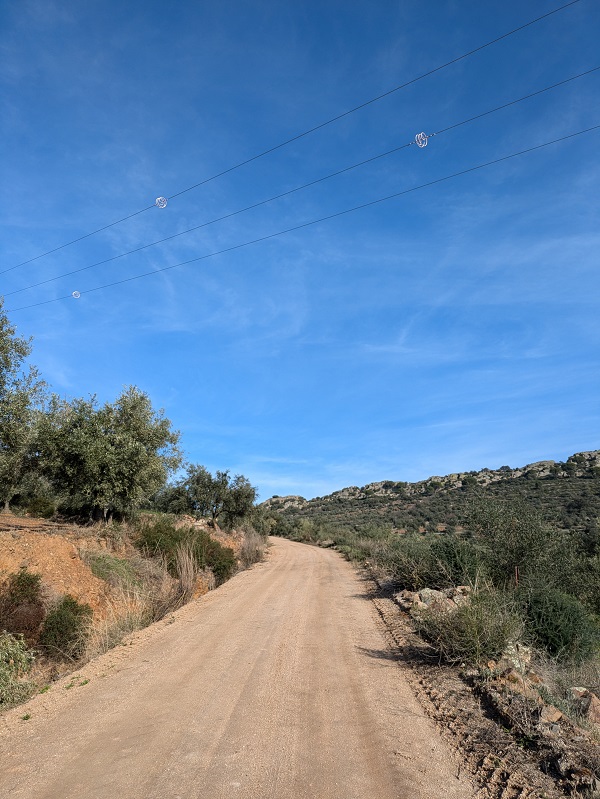
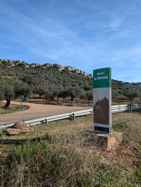
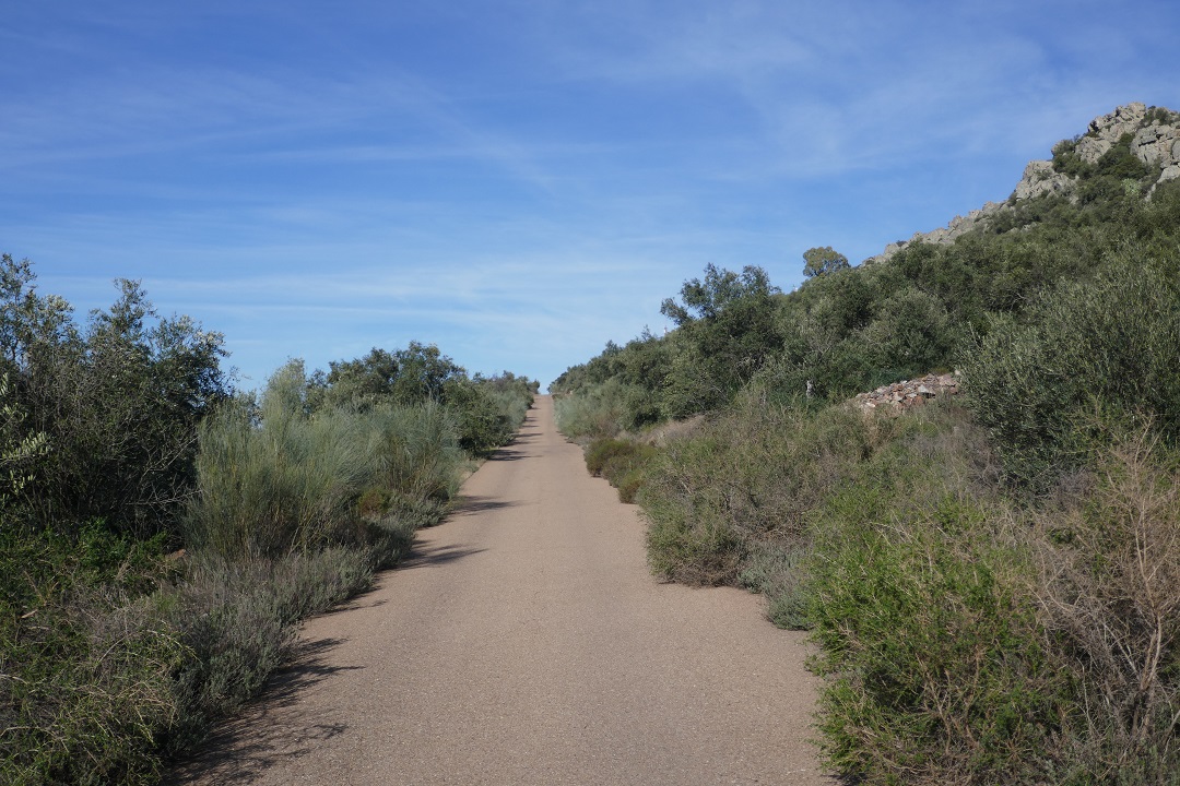
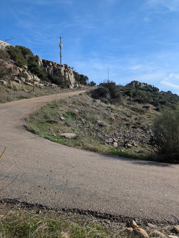
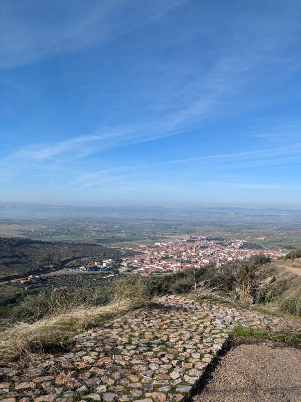
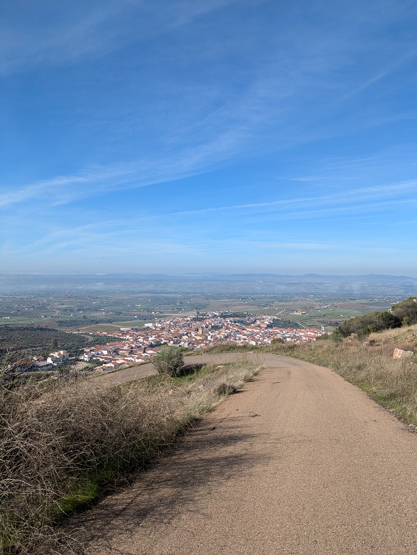
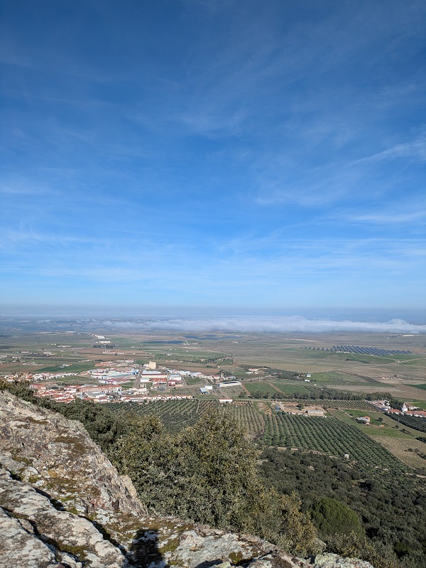
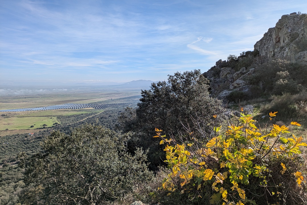
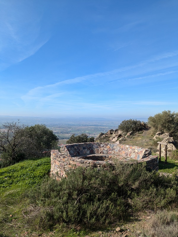
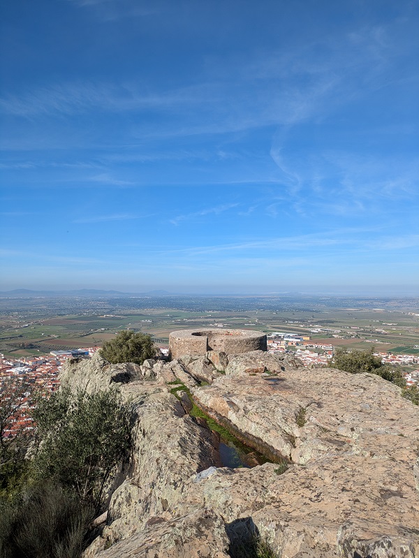
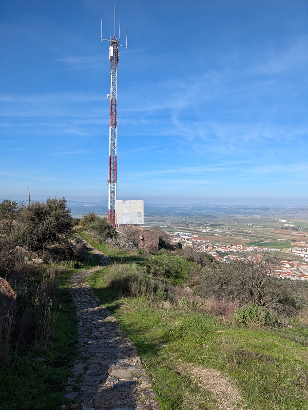

Option 1: retrace your steps back down to the start/end point, according to the linear FEXME-approved SL-BA 70 Senda de las Pozatas.
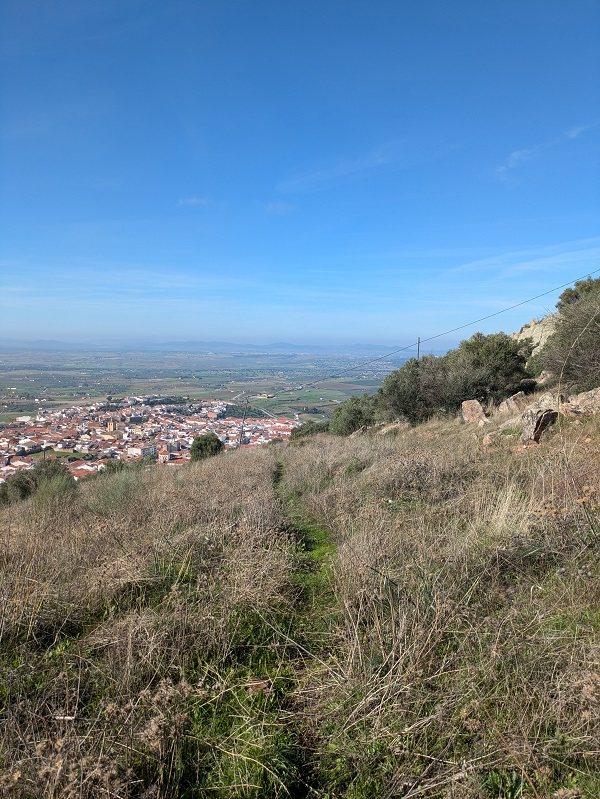
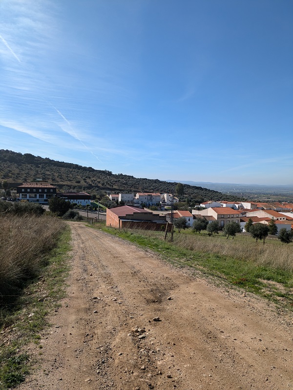
Option 2: make your way down to Castuera via a non-official path down the hill to complete the non-official bit of the circular route. This is the option I chose.
If you choose option 2, please note that the path down the hill is not signposted and not immediately obvious. I started making my way down the paved road, only to realise a bit further down, that I had missed the path somewhere. The path starts on the bend, directly facing the town, and leads to an unpaved road (past an olive grove). You need to follow the path and cross the EX-104 road to reach the centre of Castuera. If you leave the car in Calle Arrabal, you just need to follow Calle Resolana, and turn left onto Calle Cruces, which becomes Calle Arrabal a bit further down.
Tips and practical info
The route: in this article I’ve shared by experience completing a circular route. Considering that the path down the hill from the viewpoint goes past an olive grove, I’d recommend sticking perhaps to the official linear route to avoid unknowingly stepping into someone’s property (I didn’t cross any fenced areas, but I wasn’t 100 % sure that the final olive grove wasn’t someone’s property).
After the walk: if you need ideas of things to do near Castuera after completing this route, you can visit the castle in Benquerencia de la Serena (5min away by car), or the Tartessos ruins at Cancho Roano (17min away by car).
Where to park: the bottom of Calle Arrabal is, perhaps, the closest place to park (6-7min on foot) from the start point.
Where to stay: if you need a place to stay after completing this route, look for accommodation in Extremadura.
Other things to see and do in La Serena:
This content is protected by copyright and belongs exclusively to Irene Corchado Resmella. To know exactly what this means, read the 'Copyright' section in the Website terms of use.

Irene Corchado Resmella
Hi! I’m Irene (/ee-REH-neh/). Long since settled in the UK, I explore my Spanish home region of Extremadura with an inquisitive mind, a sharp eye, and the duality that comes with being both a local and a visitor. Then I write about it here to help you discover this beautiful yet overlooked part of Spain. If you have any questions after reading this article, submit a comment below! Read more about me.
