(Last updated on 13/10/2025)
Ruta de los Hornos (Zona Caleras) is an easy walk outside the village of Magacela, in La Serena area of Badajoz province. During this circular walk in flat terrain amongst olive groves you’ll be able to see the remains of thirteen kilns.
This article includes a general overview, practical information, and personal thoughts and tips to help you plan the Ruta de los Hornos walk when visiting Magacela.
This post contains affiliate links. If you click through and make a purchase, it will generate a small commission for me, at no extra cost for you. Read the full disclosure for more details.
Ruta de los Hornos (Zona Caleras) is a 6.1km long, circular route that takes 1h 30min to complete. It starts and finishes in Plaza del Pilar, just off the EX-348 road, on the eastern side of the village.
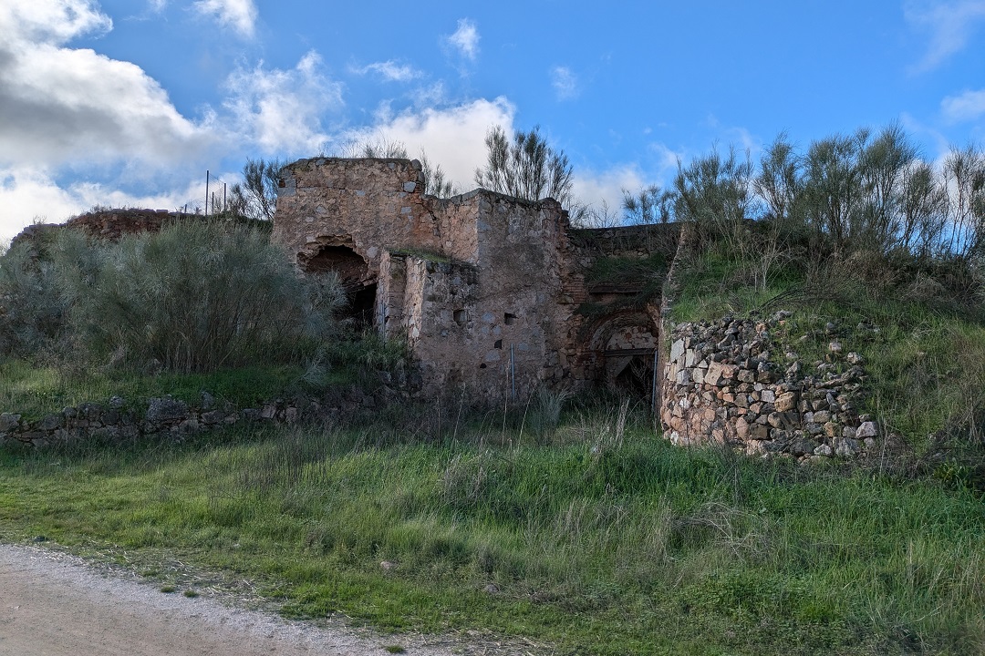
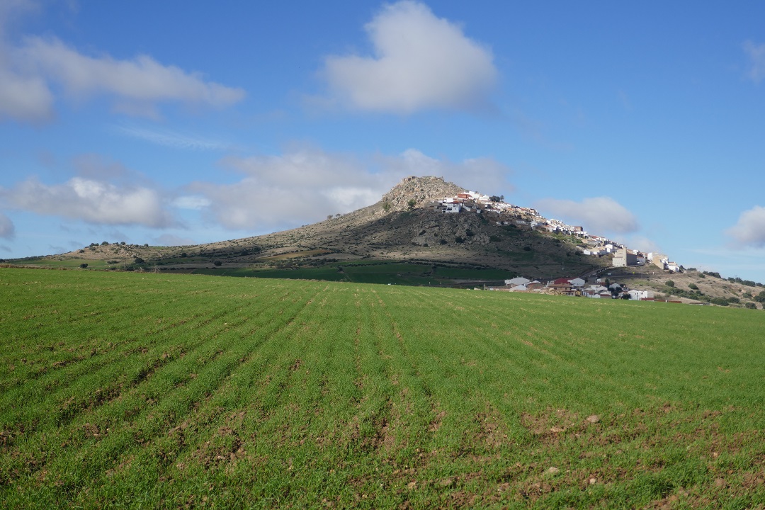
The main highlights of this route are the remains of over a dozen traditional kilns you’ll be able to see along the way; that, and the great view of the village of Magacela from the track.
This route is one of three informally publicised by the local authorities. It has good potential to become a tourist activity as an interesting guided themed route, but so far, it can only be completed on a self-guided basis. However, in 2024 the regional government declared Magacela’s kilns a Cultural Heritage Site for its ethnological value. Hopefully something good comes out of that at some point and helps raise Magacela’s profile as a rural destination.
Finish: Plaza del Pilar
Length: 6.1km
Time: 1h 30min
Difficulty: low (1/5)
About Magacela and its kilns
Since the main highlight of the route are the kilns, it’s worth knowing a bit about them ahead of the route to appreciate their value and their significance for the local history and economy.
The summary below is based on the information available on Ayuntamiento de Magacela’s website.
Originally, there were twenty-nine kilns in Magacela, although only twenty-one remain today – eighteen limekilns (caleras) and three brick and tile kilns. The first documented mention of the limekilns dates back to the sixteenth century and relate to the construction of Santa Ana church, within the castle enclosure.
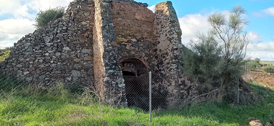
During the following centuries, Magacela became an important lime producer, providing this material for the construction of both religious buildings and private homes, not only in Magacela but throughout La Serena area. Built with a more practical and functional approach rather than an aesthetic one, all limekilns were privately owned and follow pretty much the same pattern: a round pit or burning chamber built on local granite, with a limestone vault and a single corridor and stokehole, the main door supported on the sides by buttresses, and covered externally with turf.
The first documented mention of Magacela producing and providing bricks and tiles dates from the seventeenth century. The main difference between the limekilns and the brick and tile kilns is that the latter ones had a two-storey burning chamber, divided by a brick archwork. Both types of kilns were in use for centuries until the nineteen-seventies.
There are twenty-one kilns in total in Magacela. To see them all, you can complete one of the other two routes available – an 18-km one starting in Plaza del Pilar, or a 17.8-km one starting in Laguna de Los Santos.
Ruta de los Hornos (Zona Caleras) on a map
My thoughts on this route
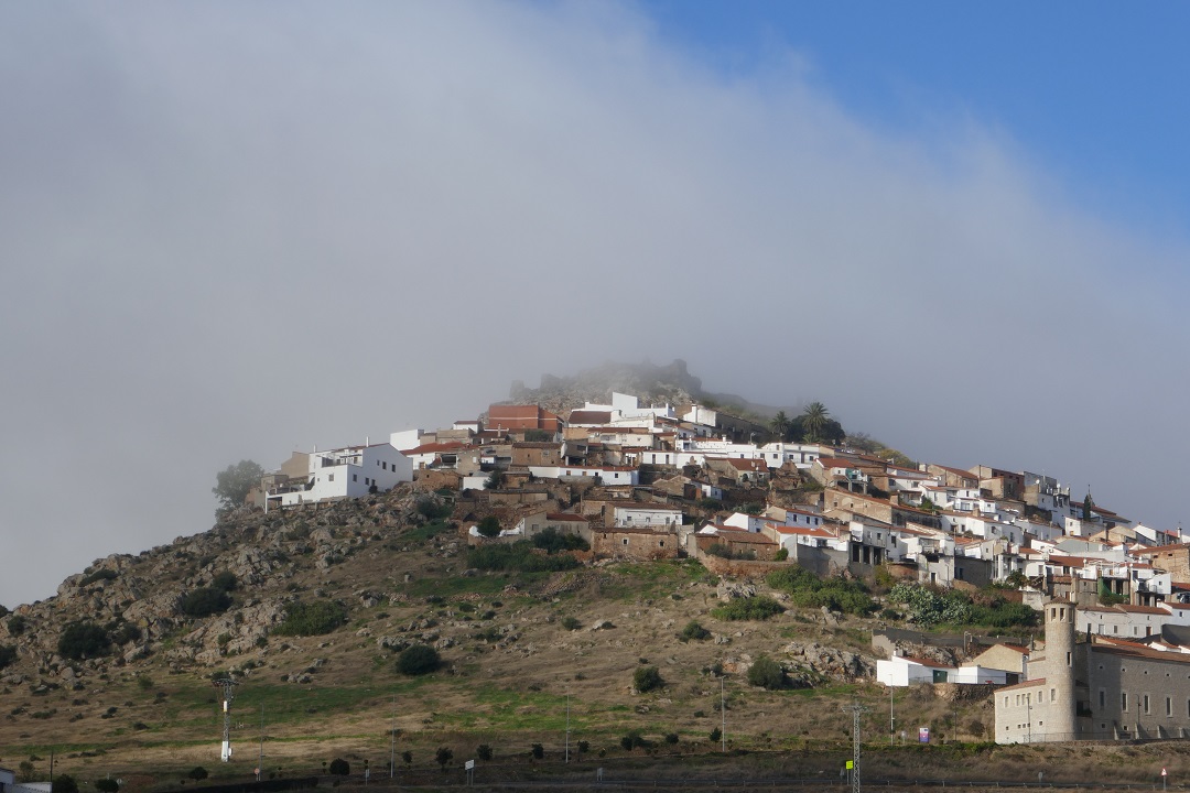
I walked Ruta de los Hornos (Zona Caleras) in early December on a mostly clear day, starting at 10:46. There was thick fog in the morning when setting off from Don Benito (under twenty minutes away by car) but thankfully, it started lifting up soon after arriving in Magacela.
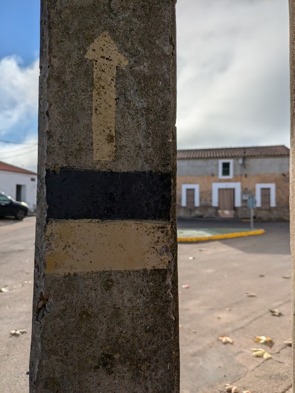
Bear in mind that this route hasn’t not been approved as an official tourist activity and has only been informally publicised by the local authorities on the townhall’s website. There are no signposts along the way beyond a manually painted sign on a lamp post.
From Plaza del Pilar, walk along Calle Reyes Huertas and Calle Campanario past the motorhome parking area and the recycling centre to then join the country road (camino rural) leading to nearby town Campanario.
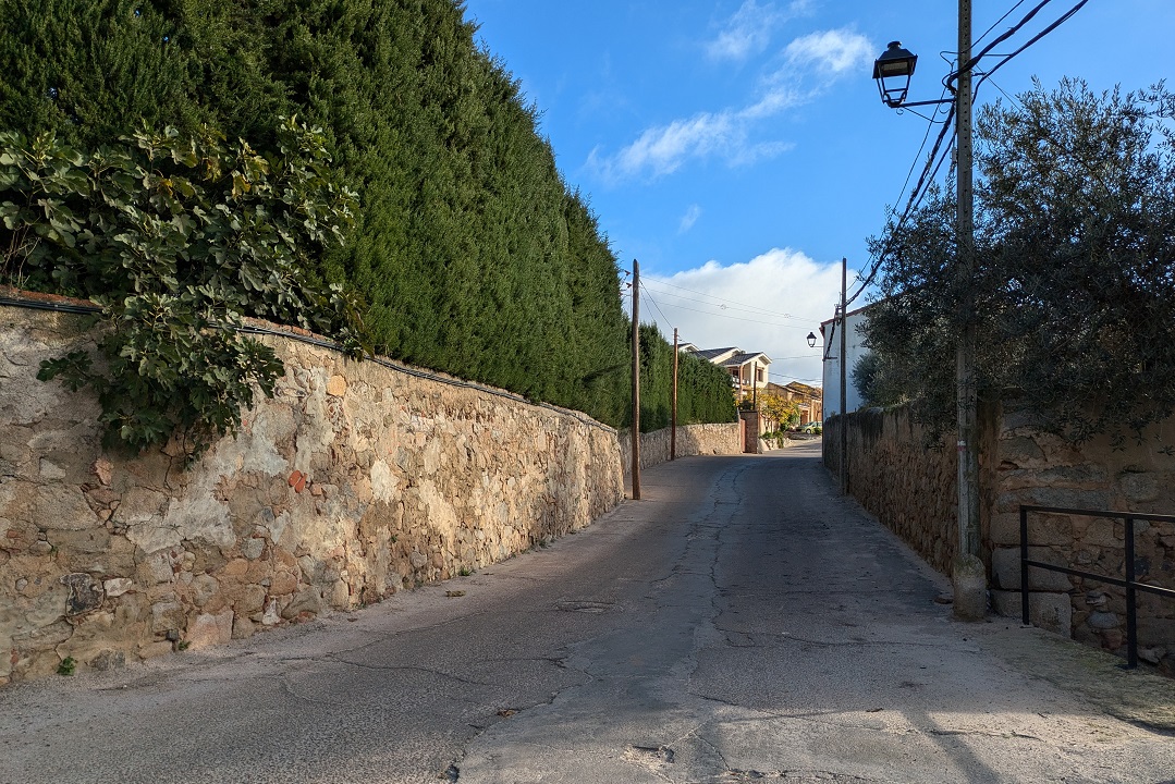
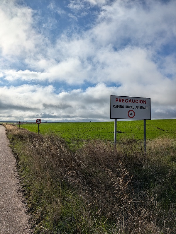
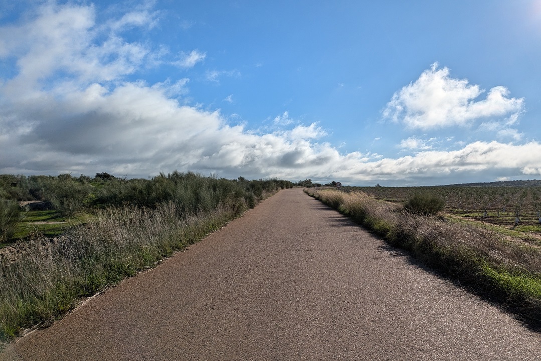
This part of the route involves walking on the paved road, overlooked by most motorists, who use the EX-348 and EN-104 roads between Magacela and Campanario. This means that the little country road has virtually zero traffic and, since the terrain is so flat, you can easily see anyone coming from a mile away.
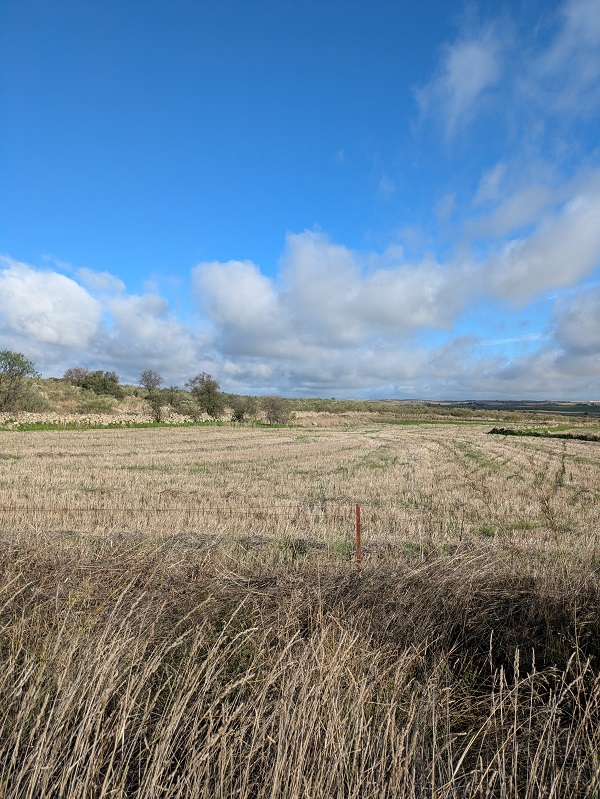
The road runs southeast-bound through agricultural land, with mainly wheat crops to your left, and olive groves to your right. You then take the first turn to the right onto a track and will spot the first limekiln soon after that, on your right.
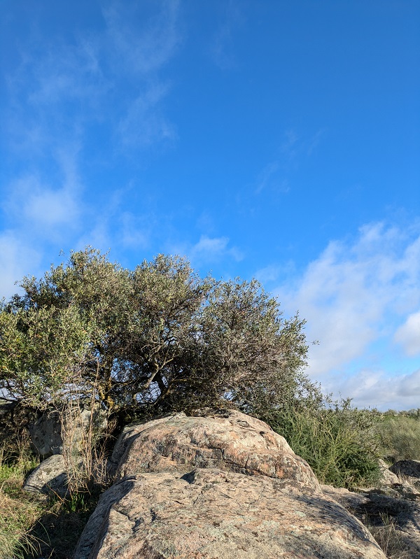
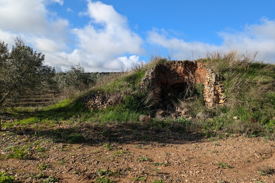
A bit further on appears a cluster of four limekilns. Their structure does not look particularly sturdy, so I refrained myself from accessing the kilns. Visit at your own risk.
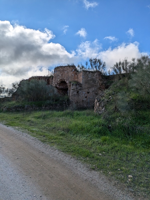
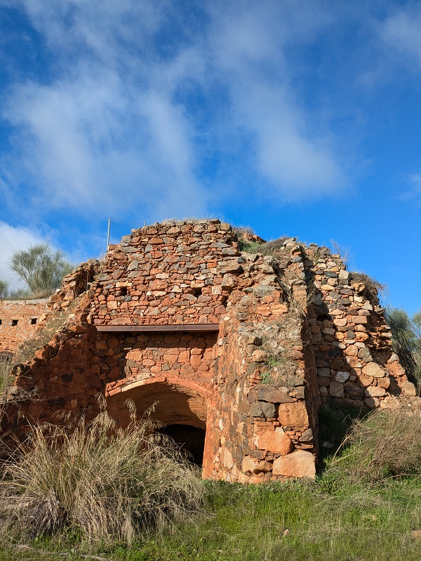
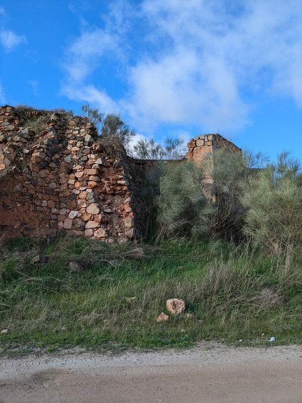
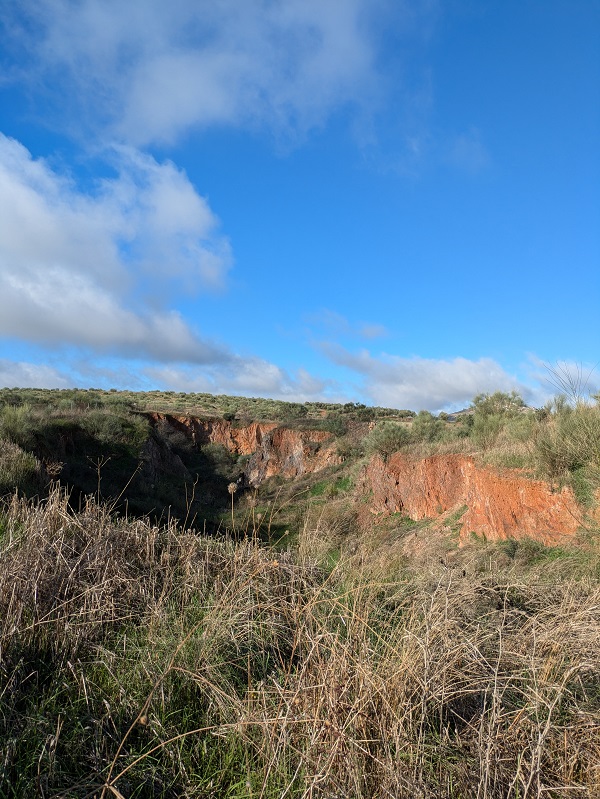
The track then starts slowly turning right. Before reaching the industrial farming buildings, turn right onto what essentially is a farming land track and start making your way back to Magacela.
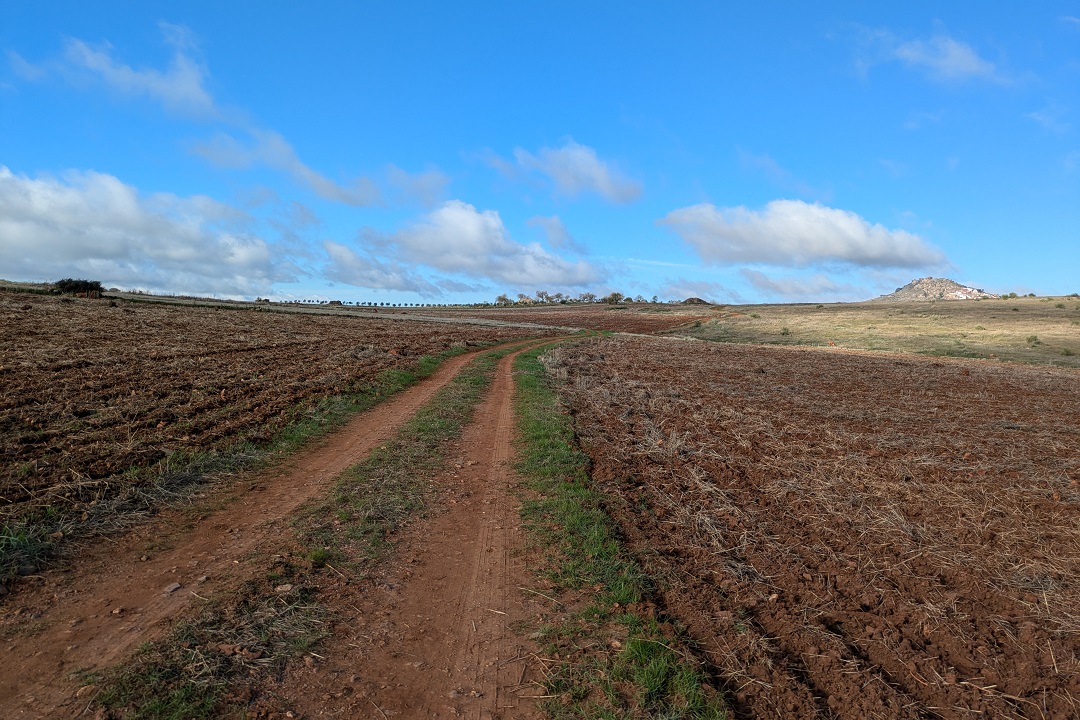
I found that, from the remaining eight limekilns, not all of them are reachable (seemingly on private land) or even accessible (fenced off). But some of them are still visible from a short distance. Others are basically a ruin.
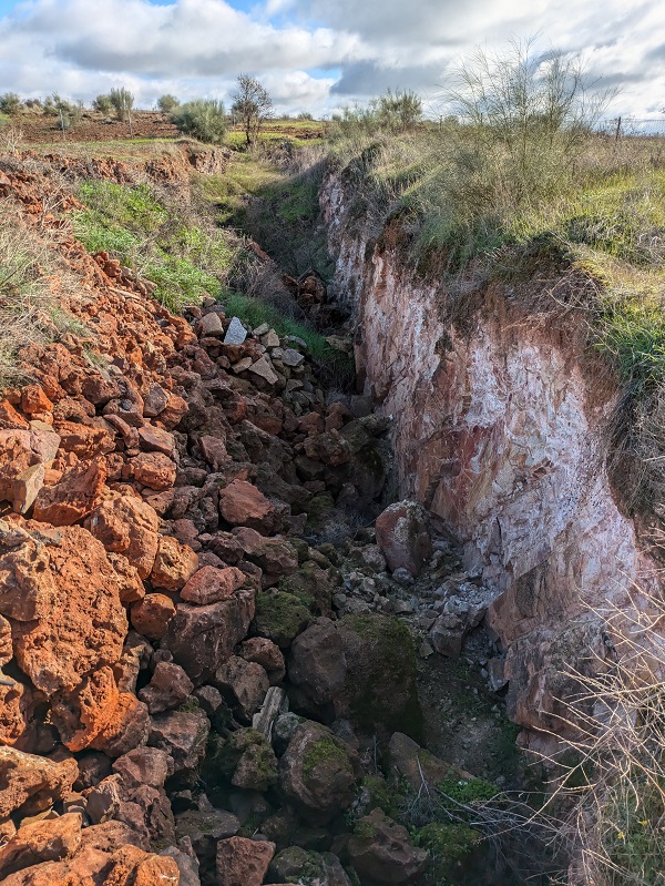
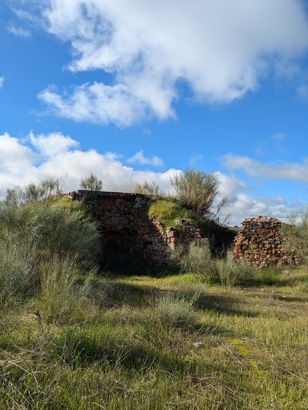
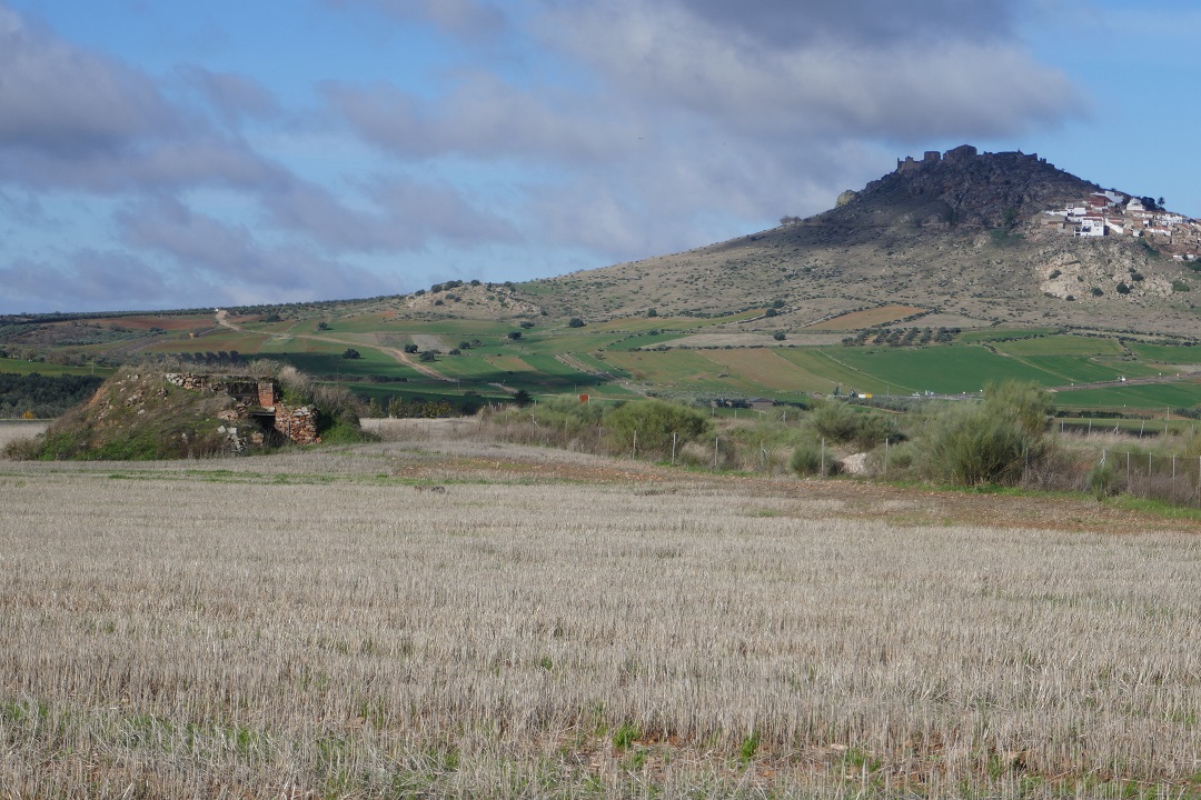
The last part of the route offers a fantastic view of the hillside part of Magacela and its castle at the top.
Tips and practical info
When to do this route: this route is recommended for late autumn, winter, and spring. Not recommended for the summer months (June-September).
Before/after the walk: visit Castillo de Magacela, a favourite castle of mine for the location and the views, and Dolmen de Magacela, off the EX-348 road. Near Magacela, don’t miss La Mata archaeological site (14min way).
Where to park: finding free, on-street parking is relatively easy in Magacela. When I completed this route, I managed to park on Calle Arroyo de la Fuente, just off Plaza del Pilar.
Where to stay: if you need a place to stay after completing this route, look for accommodation in Extremadura to find the most suitable place for your trip.
Other walks in La Serena:
- Sendero del Abrigo del Águila, in Magacela
- Senda de las Pozatas, in Castuera
This content is protected by copyright and belongs exclusively to Irene Corchado Resmella. To know exactly what this means, read the 'Copyright' section in the Website terms of use.

Irene Corchado Resmella
Hi! I’m Irene (/ee-REH-neh/). Long since settled in the UK, I explore my Spanish home region of Extremadura with an inquisitive mind, a sharp eye, and the duality that comes with being both a local and a visitor. Then I write about it here to help you discover this beautiful yet overlooked part of Spain. If you have any questions after reading this article, submit a comment below! Read more about me.
