(Last updated on 29/10/2025)
Salorino is a village located in the Sierra de San Pedro area, in western Cáceres province. This off-the-beaten-path little village featuring some impressive street art murals makes for a good half-day trip from Cáceres.
This destination mini-guide covers what you need to know before visiting Salorino, including practical info and tips on things like how to get there.
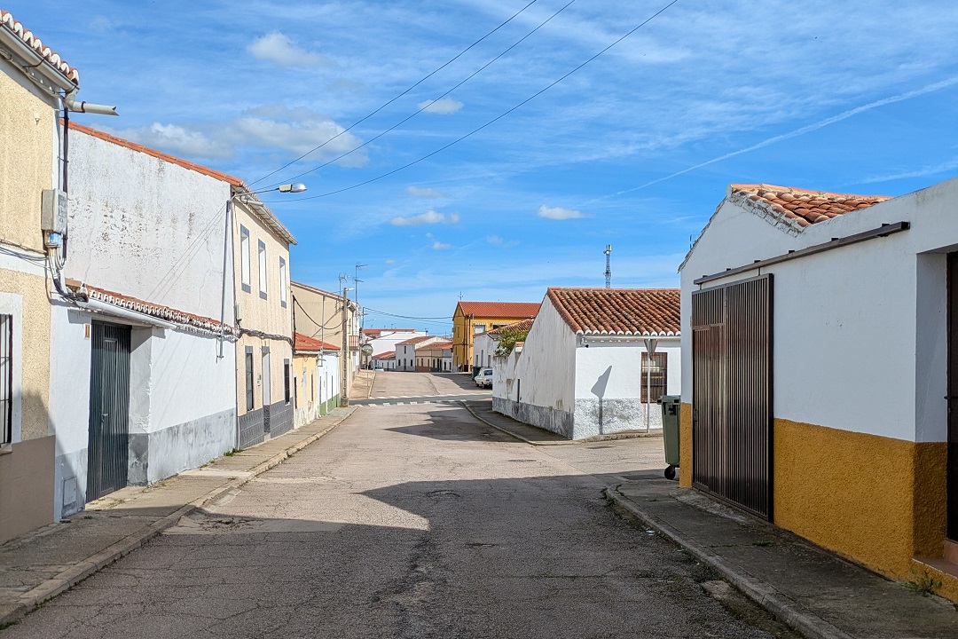
1. Salorino is forty-two kilometres from the Portuguese border and is located within the Parque Natural Tajo Internacional, a UNESCO Transboundary Biosphere Reserve.
2. The first settlements on what later became Salorino date back to the thirteenth century, although older Roman remains were found in the area.
3. In the mid-eighteen-hundreds, Salorino had a population of 3076.
4. In the nineteenth century, most common land was privatised. By the beginning of the twentieth century, 90% of the land were large, private estates.
5. Today’s population it’s 538.
How to get to Salorino
Company Interbus runs a Cáceres-Valencia de Alcántara service Monday to Friday stopping in Salorino. Coaches for Salorino depart from Cáceres in the afternoon and evening, and coaches for Cáceres depart Salorino only in the morning. It’s meant to provide locals in a rural location a way to reach the provincial capital and it’s not an option worth considering for travellers organising a day trip.
Realistically, the only way to get to Salorino is by car.
Salorino is located by the N-521 road connecting Cáceres to Portugal via Valencia de Alcántara. The car journey duration from Cáceres to Salorino is 53min.
Typical car journey duration to Salorino from other places you might want to consider when exploring western Extremadura:
From Valencia de Alcántara: 26min
From Alcántara: 30min
From Alburquerque: 30min
Parking in Salorino: there’s tons of free on-street parking available, so you won’t have any issues finding a place to park. Don’t drive into the oldest area (around the church and the townhall); leave the car on wider, residential streets such as Av. Virgen de Guadalupe.
What to see in Salorino
Religious architecture
Salorino has two main religious buildings: a parish church, and a chapel.
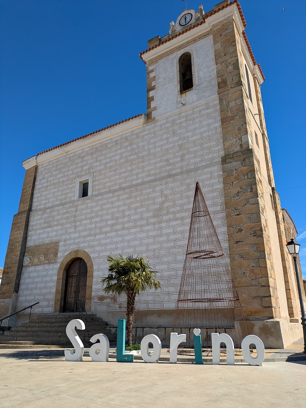
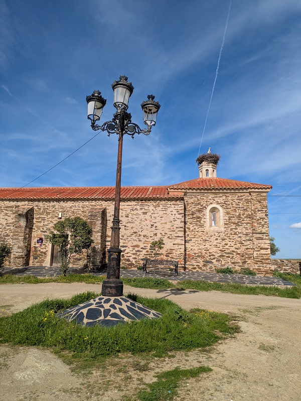
Iglesia Parroquial de San Ildefonso is easy to spot. This eighteenth-century church, located in the main square, is the largest building in Salorino. The smaller, Ermita de Santa Ana, also dating from the eighteenth, can be found at the northern end of the village.
Nature and walking
I’m aware of several, interesting nature walks starting in Salorino, but I haven’t had the chance to complete them (yet). I will update this article with first-hand information as I keep discovering the area.
Street art
The main tourist attraction in Salorino is a collection of murals located throughout the village depicting different elements of local culture and nature. These works by artists from the Muro Crítico street art collective cover topics such as traditional architecture, food, history, flora, fauna and crafts.
Centro de Recepción de Visitantes Tajo-Internacional
Location: Plaza de la Constitución, s/n (next to the townhall).
Opening times: from Monday to Friday from 9am to 2.30pm and from 4.30pm to 6.30pm; Saturdays from 10am to 2pm and from 4.30pm to 6.30pm; Sundays from 10am to 2pm.
Contact details: (phone) +34 669720869; (email) [email protected]
They offer guided tours to see the murals. Contact them ahead of your trip to Salorino to enquire about the tours.
I’ve seen the murals on a self-guided basis. The list and the map below are meant to be a useful reference to help you see them all. Please note that new murals may have been added after my visit.
The murals
Orgullo rural extremeño
A cock as a symbol of Extremadura rural pride.
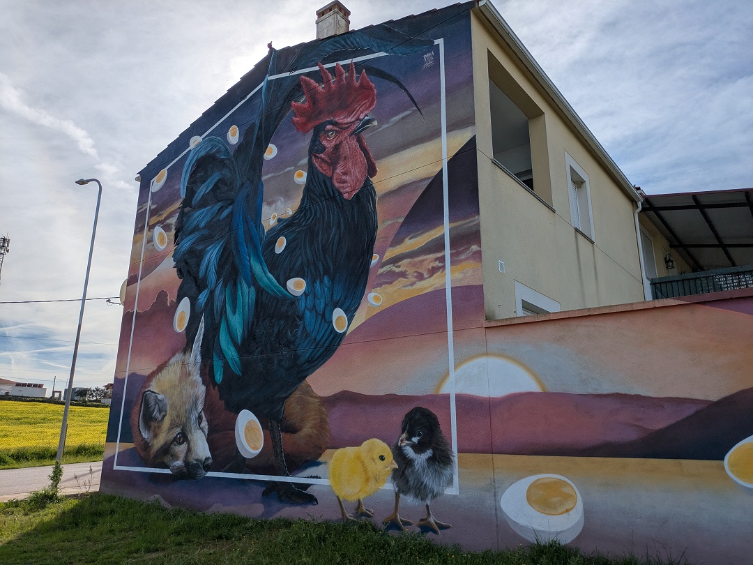
Location: eastern end of Avenida Virgen de Guadalupe (before reaching the N-521 road).
Aves protegidas de la Reserva
A selection of protected bird species in the area.
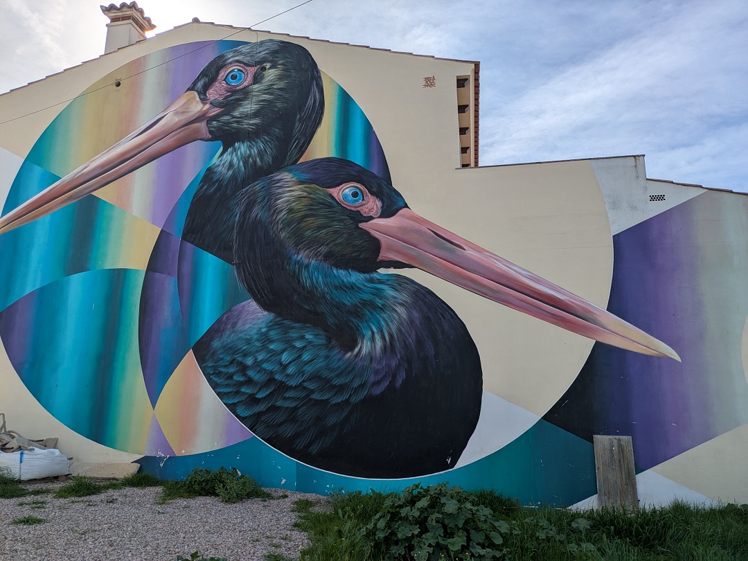
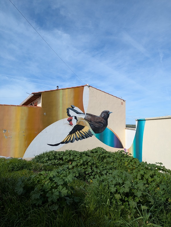
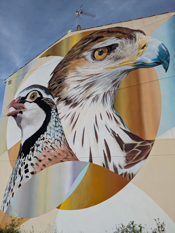
Location: opposite the corner of Avenida Virgen de Guadalupe and Camino Ratón.
Identidad ornamental en La Raya
Traditional decorative symbols in this area bordering Portugal.
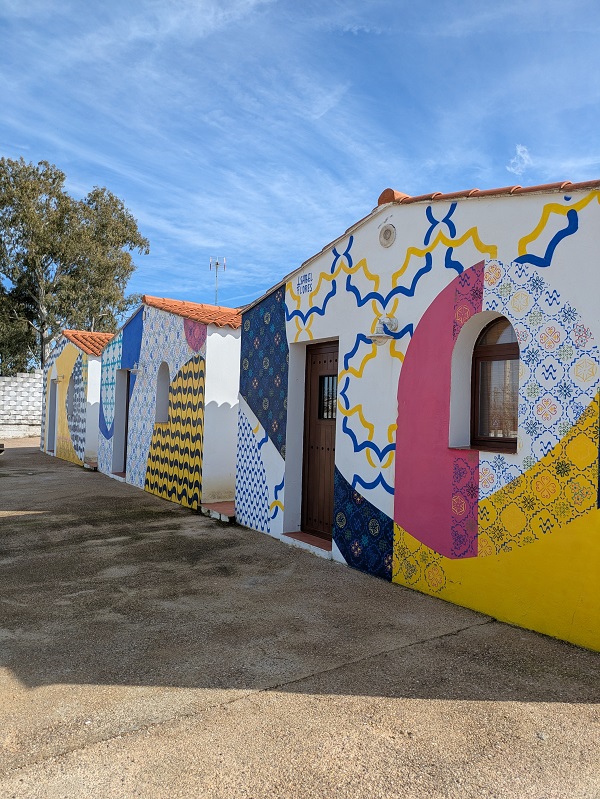
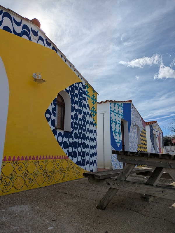
Location: Avenida Mirasierra (BA-133 road).
La bellotera
An acorn harvester.
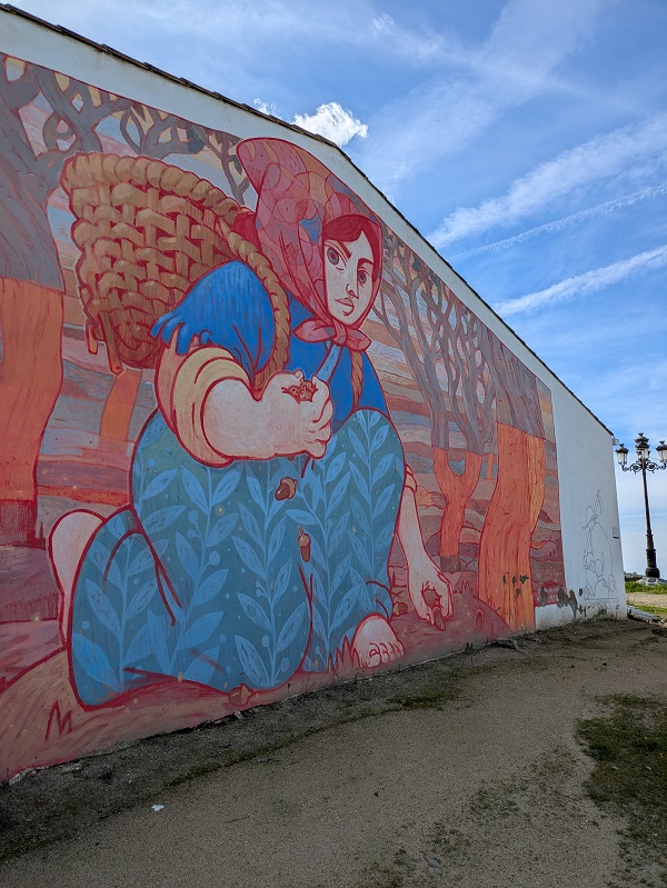
Location: Calle la Bola, near Ermita de Santa Ana.
Interacciones, la dehesa y el hombre
Interactions between the man and the typical Extremadura pastureland.
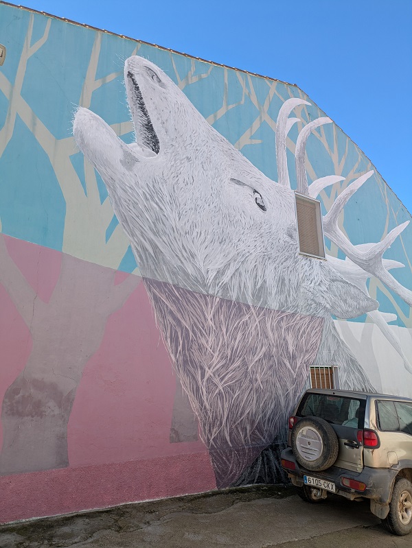
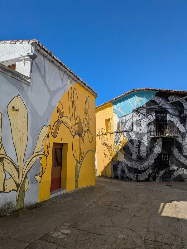
Location: corner of Calle Santa Ana and Travesía Carboneros.
El jardín de flora
A collection of typical plant species in the area.
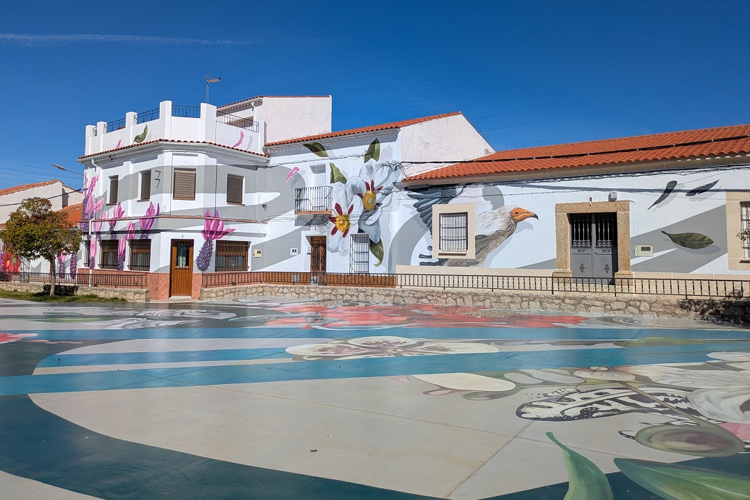
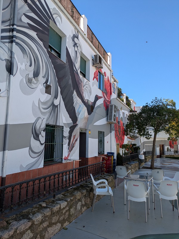
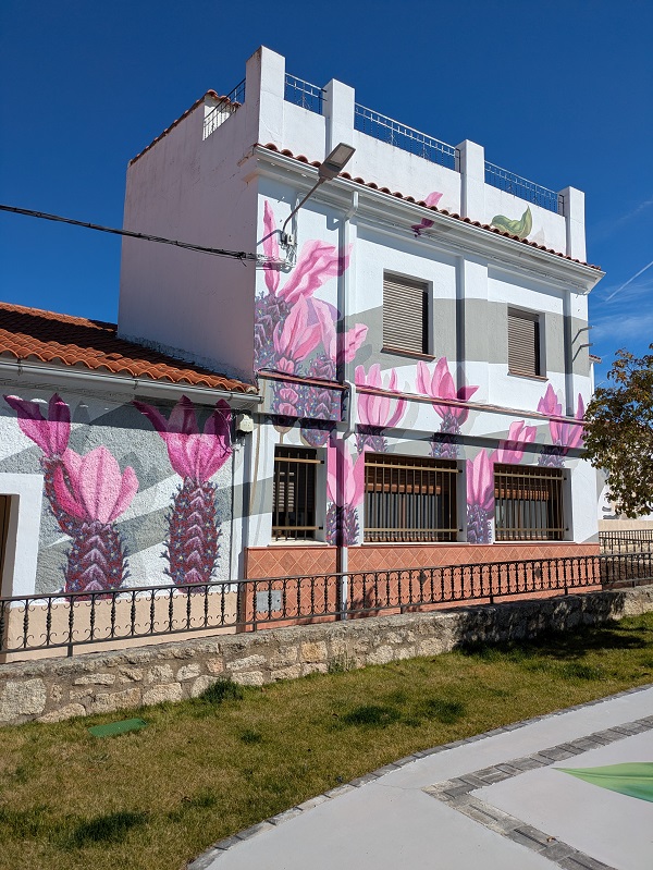
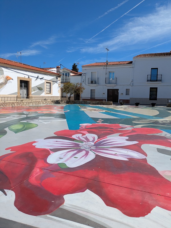
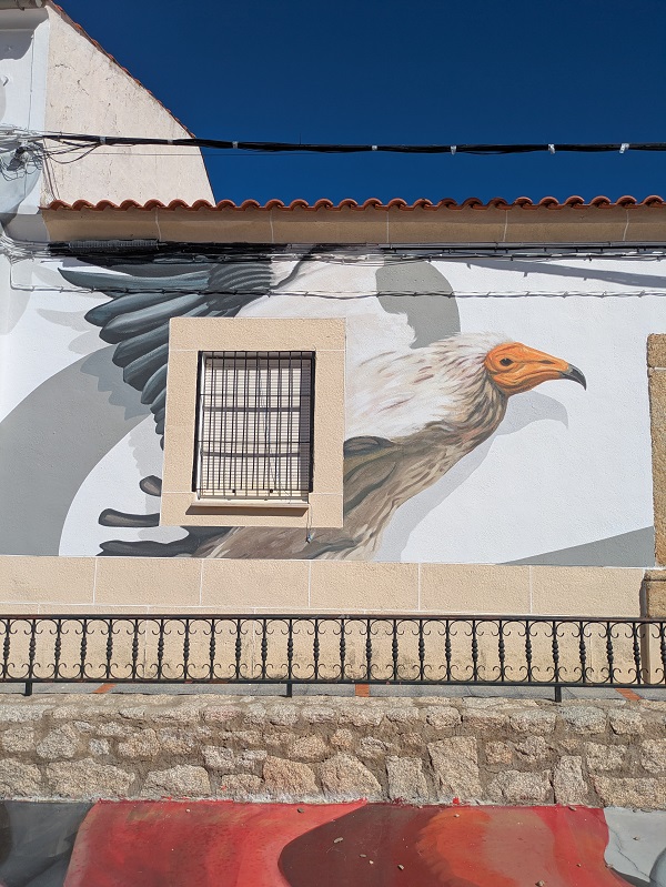
Location: Plaza de la Constitución.
Homenaje a las lavanderas
A tribute to laundry women.
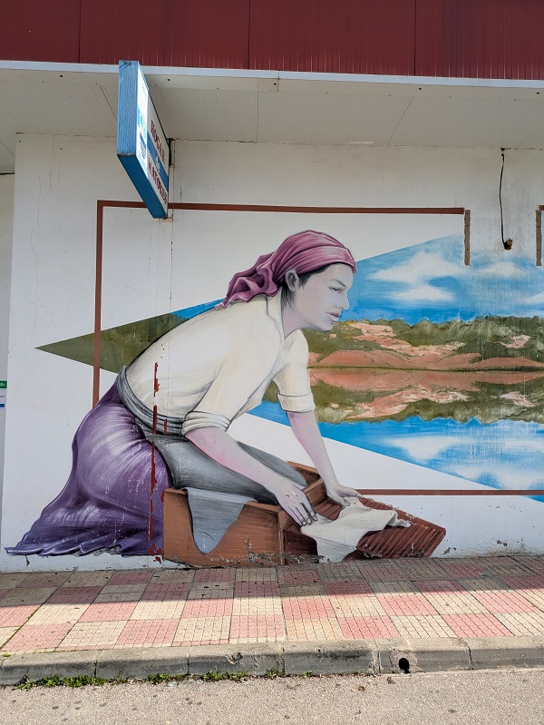
Location: Ronda de Extremadura (elderly home).
Ruido
An introspective look at how we’ve dealt with covid-10 lockdown.
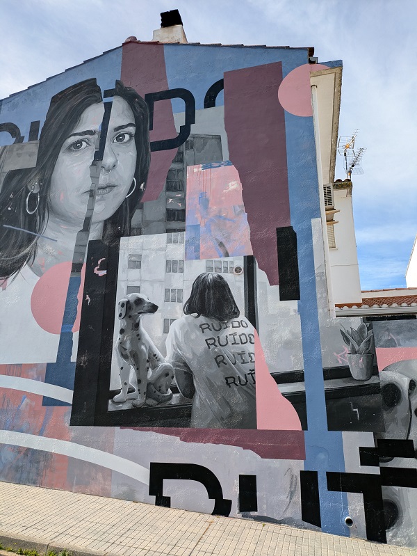
Location: Corner of Ronda de Extremadura and Calle Antonio N. Elviro.
Catálogo de especies singulares del Tajo Internacional
Unique species seen in the UNESCO Transboundary Biosphere Reserve.
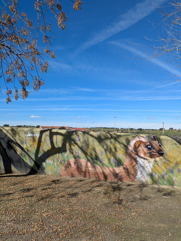
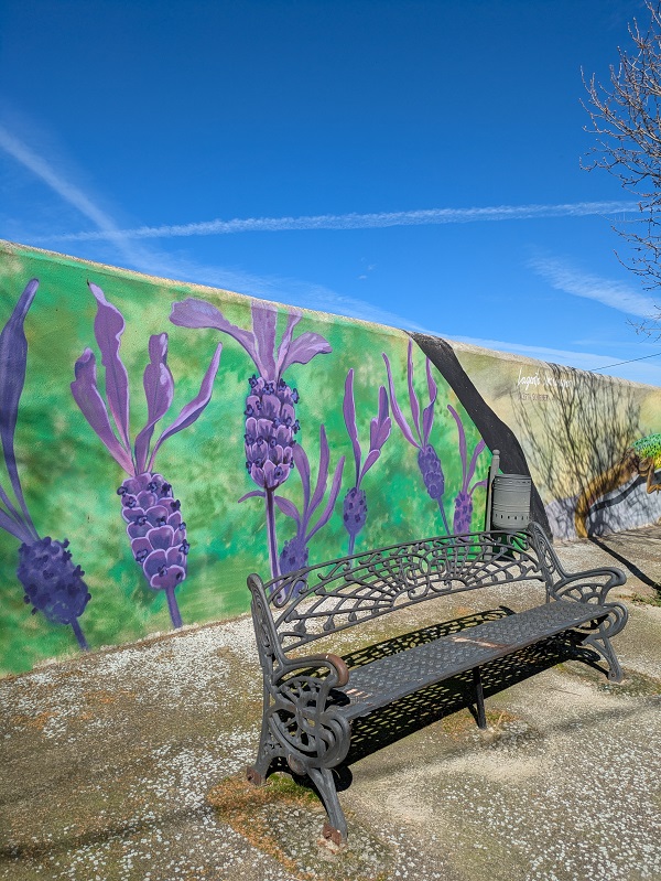
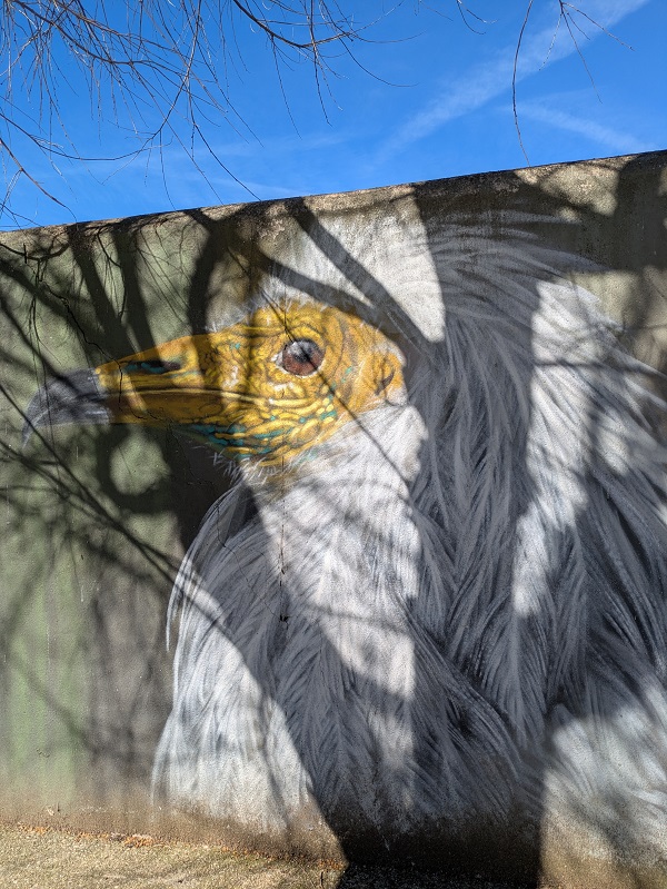
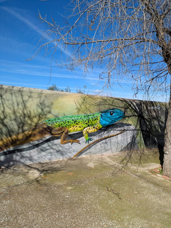
Location: Corner of Travesía Huertas and Calle Parras.
Cultura megalítica en La Raya
An example of the numerous dolmens dotting the surroundings.
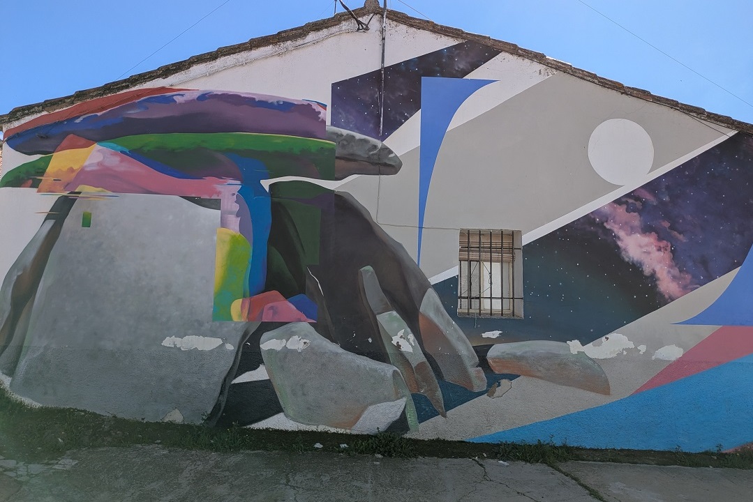
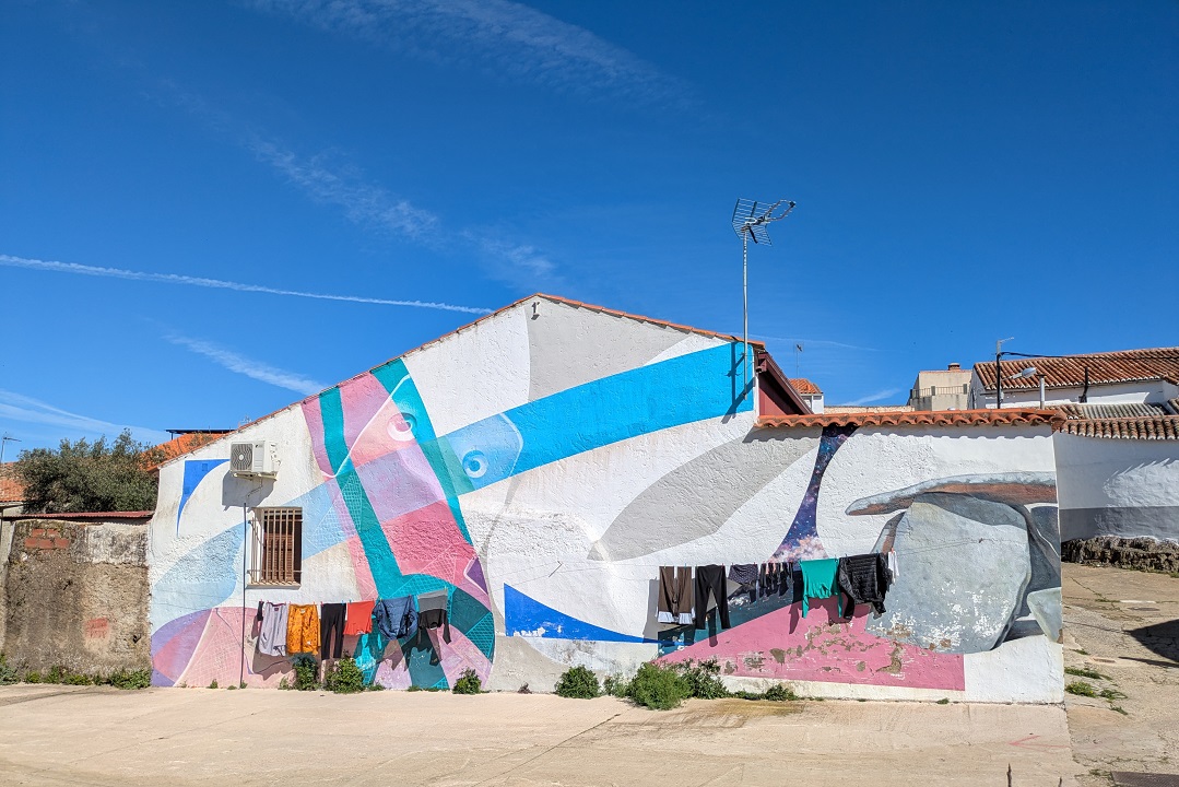
Location: Corner of Camino Arroyo Cagancha and Travesía Patino.
Bodegón
Still life.
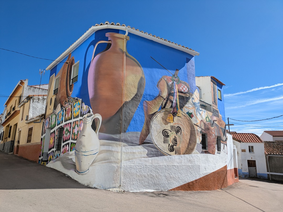
Location: Corner of Calle los Balcones and Calle Mesones.
Matanza rural extremeña
Different scenes of the traditional pig slaughter in Extremadura.
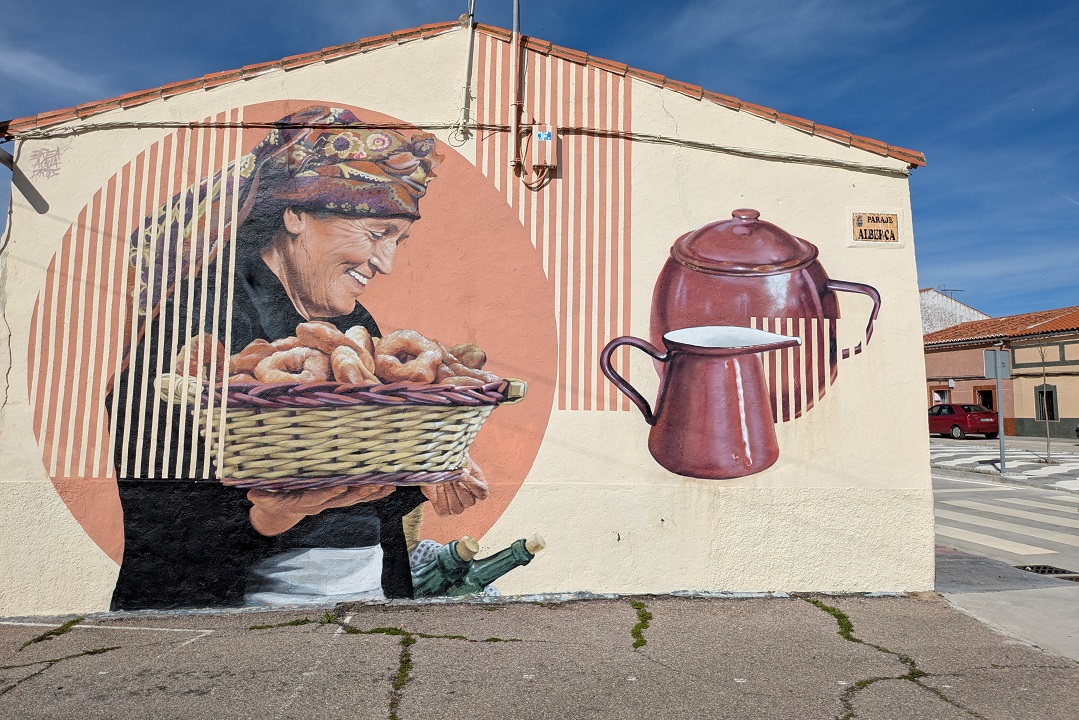
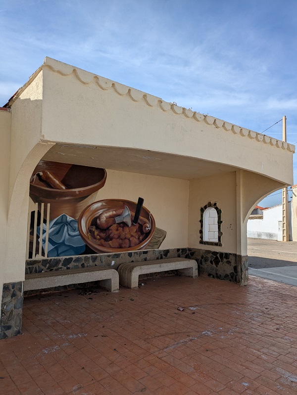
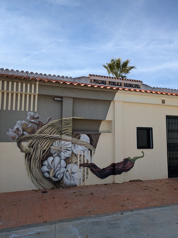
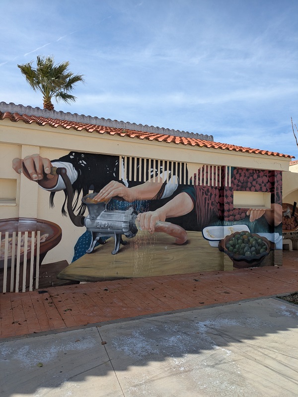
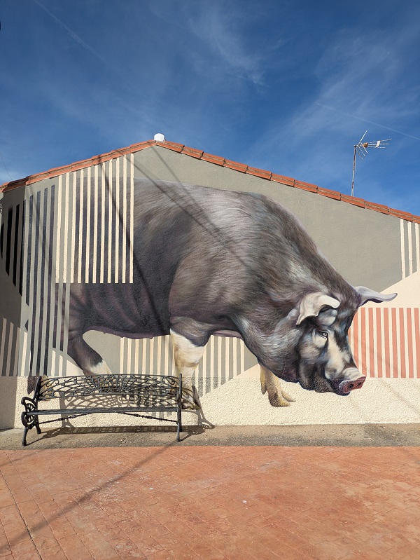
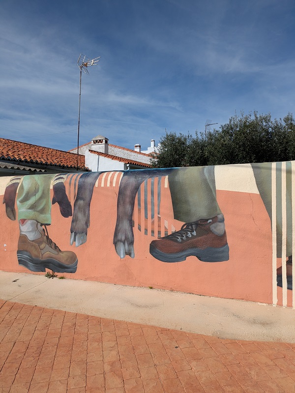
Location: Calle Dr. Terron Rodríguez (by the local swimming pool).
Folklore extremeño
Elements of Extremadura folklore – dance, clothes, jewellery.
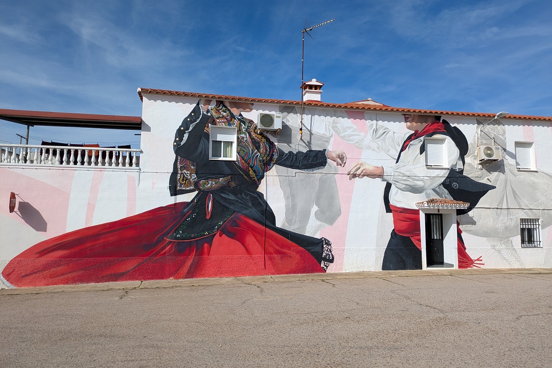
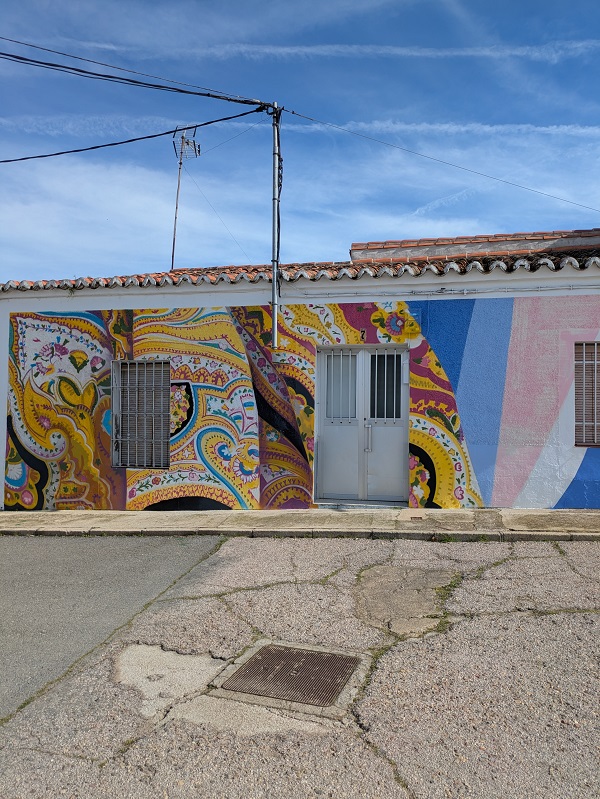
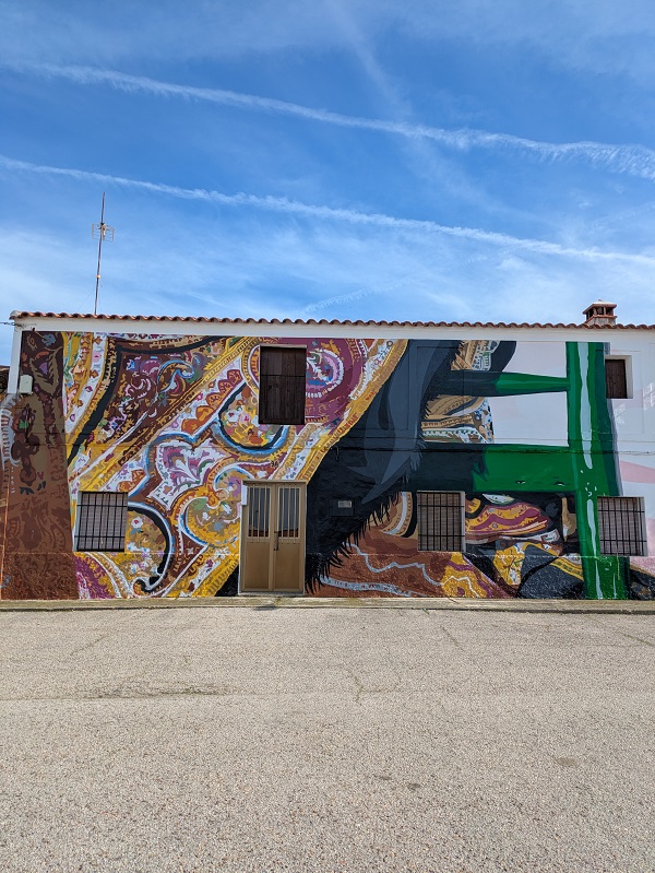
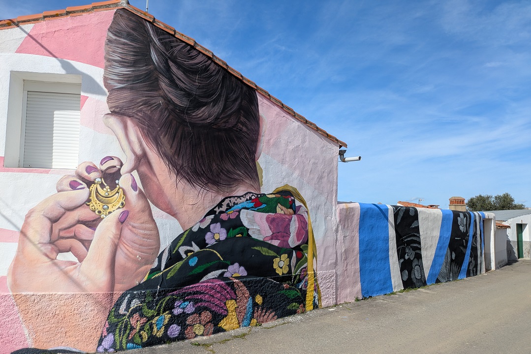
Location: Plaza Torrijos.
Map of street art in Salorino
Find all the murals mentioned in this article on the map below.
This content is protected by copyright and belongs exclusively to Irene Corchado Resmella. To know exactly what this means, read the 'Copyright' section in the Website terms of use.
Irene Corchado Resmella
Hi! I’m Irene (/ee-REH-neh/). Long since settled in the UK, I explore my Spanish home region of Extremadura with an inquisitive mind, a sharp eye, and the duality that comes with being both a local and a visitor. Then I write about it here to help you discover this beautiful yet overlooked part of Spain. If you have any questions after reading this article, submit a comment below! Read more about me.
